
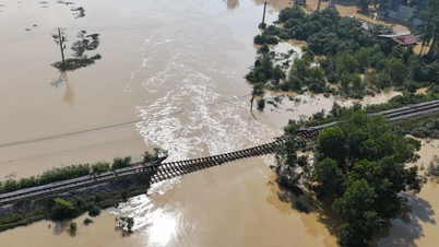
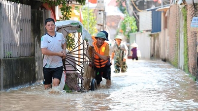
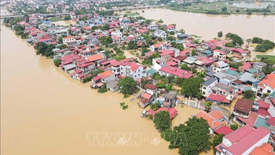
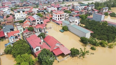
According to the Hai Phong City Hydrometeorological Station, at 7:00 a.m. this morning, October 13, the water level at Hon Dau station reached 368 cm and is gradually rising.
It is forecasted that due to the influence of high tides, tomorrow morning, October 14, the highest water level in the coastal area of Hai Phong will fluctuate between 375 and 388 cm. Specifically, in the sea area of Hon Dau, the high tide level will be about 388 cm, and at Bach Long Vi it will be 375 cm.
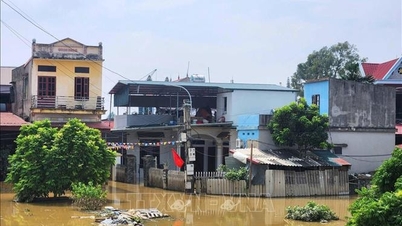
High water levels are likely to flood low-lying coastal areas, low-lying areas along the Bach Dang River, Lach Tray River, Cam River, Moi River and Thai Binh River estuaries. The maximum flooding depth in low-lying coastal areas and river estuaries is from 0.5 - 0.7m.
Warning: In the next 24-48 hours, the Hai Phong sea area will continue to be affected by high tides. On the morning of October 15, the highest water level in the coastal area of Hai Phong fluctuated between 365 and 375 cm. Natural disaster risk level 1.
High tides, beware of flooding in low-lying areas along rivers affecting people's rice and crops; affecting flooded areas for aquaculture, traffic activities and some activities in coastal tourist areas.
PVSource: https://baohaiphong.vn/canh-bao-trieu-cuong-muc-nuoc-vung-bien-hai-phong-dang-len-523451.html

![[Photo] Solemn opening of the 1st Government Party Congress](https://vphoto.vietnam.vn/thumb/1200x675/vietnam/resource/IMAGE/2025/10/13/1760337945186_ndo_br_img-0787-jpg.webp)


![[Photo] General Secretary To Lam attends the opening of the 1st Government Party Congress](https://vphoto.vietnam.vn/thumb/1200x675/vietnam/resource/IMAGE/2025/10/13/1760321055249_ndo_br_cover-9284-jpg.webp)


Comment (0)