
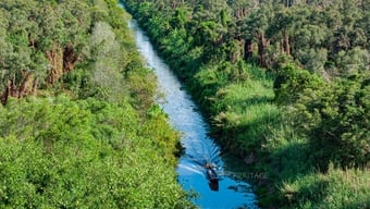
After Ba Ria - Vung Tau province officially merged into Ho Chi Minh City, this expanded city is facing the opportunity to shape a new development space towards the sea. In that context, the proposal to study the Can Gio - Vung Tau sea route has attracted special attention from the public.
In concept, this is a very encouraging move. The southern coastal area is a potential economic , tourist, and ecological urban area, but the connecting infrastructure system is limited, heavily dependent on ferries and roundabouts. A modern sea-crossing bridge will significantly shorten travel time, open up a new coastal economic-tourism corridor, and create a new infrastructure symbol for Ho Chi Minh City after the merger.
If properly calculated, the project will not only solve the traffic problem but also expand the space for urban development, trade, tourism and marine services, contributing to the formation of the most dynamic economic region in the South.
Need to harmonize with the sea space
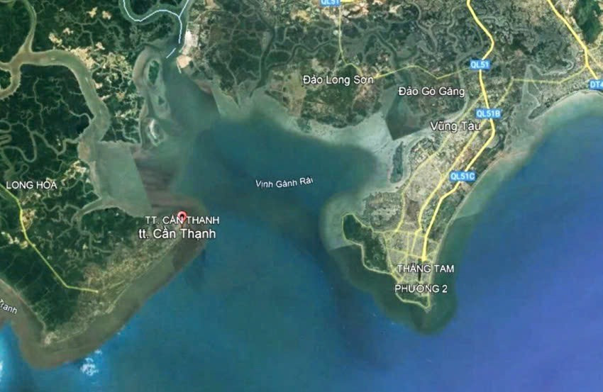
However, to turn a big idea into a sustainable reality, a comprehensive vision is needed. Because Ganh Rai Bay - where the bridge route can pass through - is the most important maritime axis in the South. This is a strategic route connecting Cai Mep - Thi Vai port cluster, Phu My, Long Son, Can Gio international transit port and in the future Cai Mep Ha.
In 2022 alone, the volume of goods passing through this area will reach about 290 million tons, accounting for nearly 40% of the total volume of goods in the country. This figure is enough to show the special importance of this area, not only for trade but also for Vietnam's import-export capacity and maritime position on the regional map.
In addition to being a “logistics artery”, this bay also has great significance for national defense, security and energy, as it concentrates many important facilities such as the Naval Region 2 Command, Ba Son Shipyard, Vung Tau Energy Industry and Technical Logistics Center, Vietsovpetro Port, Long Son Petrochemical Plant, etc.
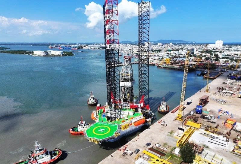
In particular, to support Vietnam in developing offshore wind power according to the adjusted Power Plan VIII, the World Bank, the Danish and Norwegian Embassies have assessed that Ganh Rai Bay has many ports that meet the criteria for participating in the offshore wind power supply chain, in which the most important criterion is not being limited in terms of clearance height (height for large ships to pass through).
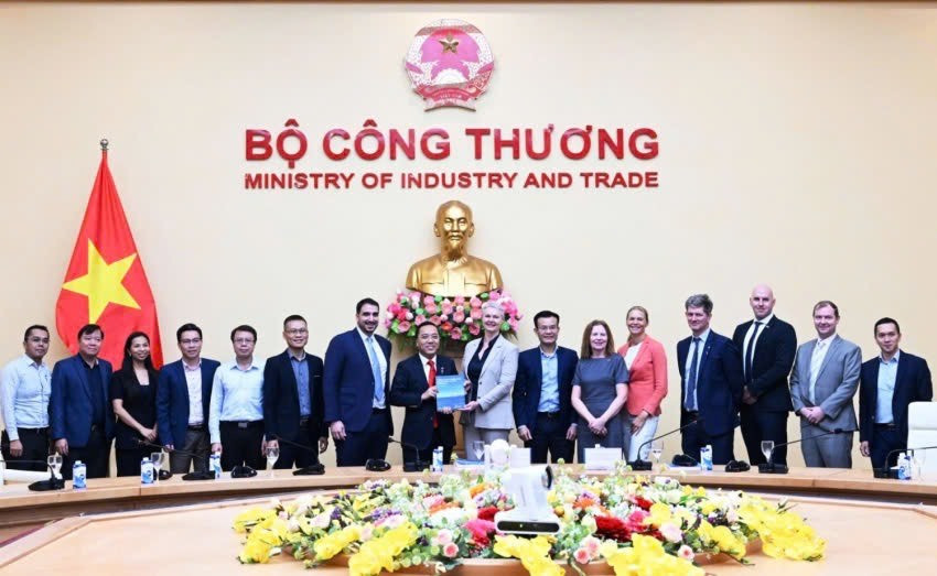
Specifically, in 2024, the Norwegian Embassy in Hanoi officially handed over to the Ministry of Industry and Trade the Report “Offshore Wind Power Supply Chain for Vietnam’s Rapid Development Scenario”. That means, this area is being positioned in the national marine space development plan - where Vietnam aims to build a complete offshore wind power supply chain, from manufacturing, assembly, transportation to equipment export. If an offshore structure is built that changes or obstructs the dedicated shipping channel, it will not only affect current maritime activities, but may also affect Vietnam’s green energy industry development plan in the future.
To put this in perspective, a super-large container ship carrying 24,000 TEUs is about 70 meters high, or a jack-up rig can be nearly 150 meters high, while floating wind power structures can even reach 300 meters – equivalent to a building of nearly 100 stories. Obviously, it is impossible to build a bridge several hundred meters high so that all ships can pass through. And if the bridge is designed lower than that, it will immediately become a “bottleneck” on the vital shipping route, hindering maritime transport, oil and gas and renewable energy activities, which are and will continue to be pillars of economic development and ensure national energy security.
In fact, many countries have faced a similar problem - where a decision to design a sea-crossing bridge has affected the entire maritime industry for decades. That is the Øresund Bridge (Denmark - Sweden) with a clearance height of only 57 meters, which has prevented many super-large container ships and ships transporting wind power components from passing through, reducing port capacity. In Asia, the Tsing Ma Bridge (Hong Kong) also faced a similar situation, causing limited shipping lanes, affecting the competitiveness of Hong Kong port compared to Singapore and Shenzhen.
These lessons show that: A transport project, if not carefully calculated in terms of navigation height, can directly affect the country's maritime capacity, thereby reducing the competitiveness of Vietnamese seaports on the regional map...
Harmonious solution: Combined bridge - tunnel
Many countries have chosen the combined bridge-tunnel model to both develop road traffic and ensure the safety of strategic shipping routes. Projects such as the Chesapeake Bay Bridge-Tunnel (USA), Øresund Fixed Link (Denmark) or the Hong Kong - Macau - Zhuhai Bridge-Tunnel are all designed in this direction: Overpasses over sections far from shipping routes, while sections intersecting with main shipping routes are made into underground tunnels under the seabed.
This could be the optimal solution for the Can Gio - Vung Tau sea bridge route, helping the project to be both symbolic and ensure "unblocked sea lanes", while opening up the possibility of sustainable development for Vietnam's seaports, industry and energy.
(According to: VnEconomy)
Source: https://vietnamnet.vn/cau-vuot-bien-can-gio-vung-tau-se-mo-ra-kha-nang-phat-trien-ben-vung-cang-bien-2452005.html
![[Photo] Solemn opening of the 1st Government Party Congress](https://vphoto.vietnam.vn/thumb/1200x675/vietnam/resource/IMAGE/2025/10/13/1760337945186_ndo_br_img-0787-jpg.webp)


![[Photo] General Secretary To Lam attends the opening of the 1st Government Party Congress](https://vphoto.vietnam.vn/thumb/1200x675/vietnam/resource/IMAGE/2025/10/13/1760321055249_ndo_br_cover-9284-jpg.webp)


Comment (0)