

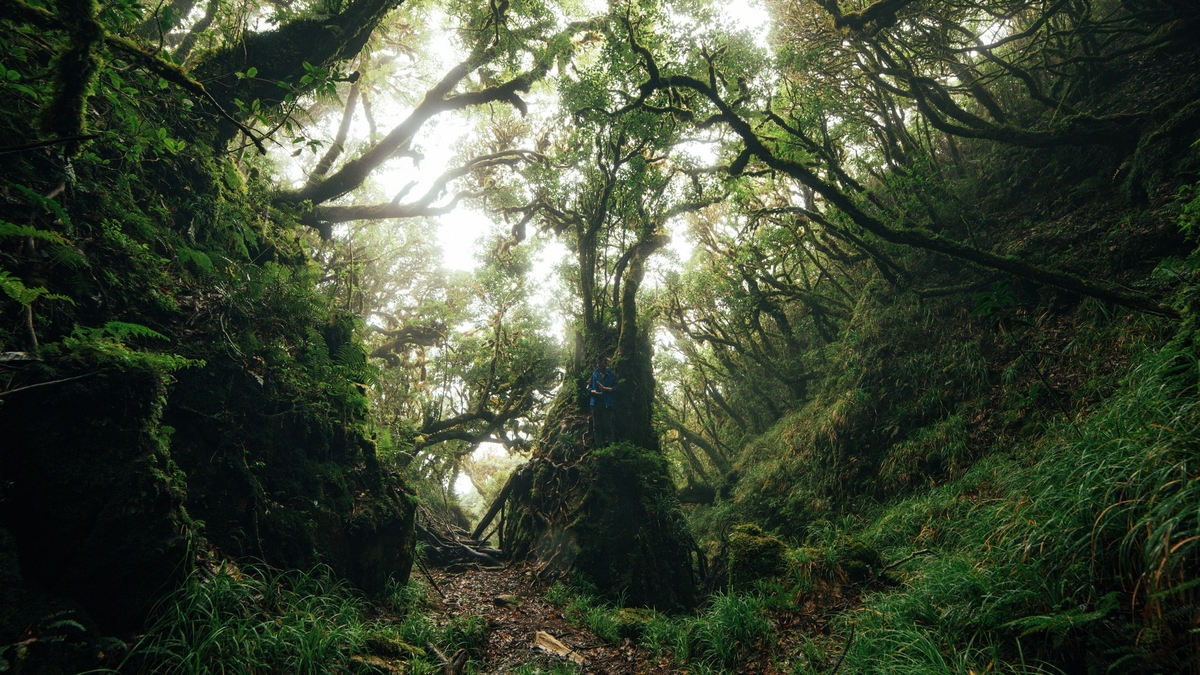
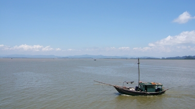
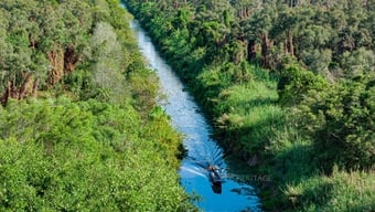
My Hoa Hung Islet. Photo: GIA KHANH
Standing on the Long Xuyen bank, looking over to Ong Ho islet - the simple name of My Hoa Hung commune - it is easy to recognize a separate space but full of the soul of the countryside. To reach My Hoa Hung commune, you have to take a ferry, even though it is less than 1km away from Long Xuyen ward as the crow flies. To reach Pho Ba islet, a small hamlet "island within an island" of My Hoa Hung, you need a few more minutes by boat.
Mr. Vo Thanh Tuan - Secretary of the Party Committee of My Hoa Hung commune said: "The whole commune has an area of over 19km2 , with more than 26,000 people. It does not border any other commune by road, so when implementing the 2-level local government model, the administrative boundaries of the commune will not change. This island is the hometown of President Ton Duc Thang, Uncle Ton Memorial Site became a historical site in 1984 and a special national site in 2012. More than 40 years since the historical site was recognized, this place is still a red address for educating patriotic traditions, and at the same time a unique cultural and tourist destination of An Giang".
Facing the sea, Binh Giang commune has a typical terrain: vast rice fields, crisscrossing canals, sparse population, most of whose livelihoods depend on agriculture . Rice output by 2025 is estimated at 170,000 tons (of which high-quality rice accounts for over 95% of output). Revenue per unit area is 130 million VND/ha/year. This coastal area relies on exploitation and aquaculture, bringing a total output of 2,992 tons/year of shrimp and fish of all kinds. This is one of the communes with a large area (more than 160km 2 ) but a low population (more than 110 people/km 2 ), merging is not feasible. Therefore, keeping Binh Giang intact is not only for convenient management but also to ensure people's lives and maintain stable production.
Adjacent to Binh Giang is Binh Son commune, 183km2 wide, with a population of over 18,500 people. The agricultural sector remains the mainstay, playing a decisive role in the economic development of the commune, with an output of 155,940 tons of rice per year. In addition, the coastal location helps to promote the exploitation and aquaculture of aquatic products, with the total output of aquatic products reaching over 36,000 tons.
Binh Son and Binh Giang used to belong to Hon Dat district (before the merger), quite similar in geographical location, with the characteristics of large land and sparse population, with the strength of specialized rice and aquaculture production. Although similar, the two communes cannot "belong together" because the area is too large. Therefore, the province agreed to keep the two bordering communes as special production areas, preserving the traditional farming model, and at the same time being an ecological belt in the middle of large fields.
Further away, there is a chain of 3 island communes: Hon Nghe, Son Hai, Tien Hai, the "pearls" of the Southwest sea. In the middle of the immense blue sea, Hon Nghe is only 3.8km 2 , with more than 2,500 residents living mainly by fishing and raising fish in cages. "Hon Nghe plays the role of an outpost, a gateway on the sea located between the Rach Gia - Phu Quoc maritime route, with potential for exploiting the marine economy, especially marine tourism and aquaculture", said Hon Nghe Commune Party Secretary Ta Minh Tai.
Son Hai island commune has 42 large and small islands (about 4.2 km 2 ), belonging to Ba Lua archipelago, developing its economy mainly from fishing, aquaculture and fishing logistics services. With its location near the international shipping route, the commune has both maritime economic characteristics and a role in controlling the Southwest sea. Maintaining Son Hai's administrative independence helps to unify management of both the mainland and island areas, facilitating national defense and security work.

The locations of the 6 communes remain the same on the map of An Giang province. Photo: GIA KHÁNH
The remaining is Tien Hai commune (also known as the famous Pirate Island), 30 minutes by speedboat from the mainland. The island is 2.5 km2 wide, with a population of only 445 households, with 1,710 people, both doing community tourism and preserving the sovereignty of the sea border. The story "Pirates once ran rampant, hiding treasures on the island" used to be a legend, but now it has become a unique tourism brand, attracting tens of thousands of visitors each year. Tien Hai is kept intact to both develop eco-tourism and strengthen the frontline defense line of the Fatherland.
If we connect the locations of the 6 communes, we will see a symbolic triangle: My Hoa Hung in the middle of the Hau River; Binh Giang, Binh Son in the northern delta; Hon Nghe, Son Hai, Tien Hai offshore. They cover the entire geographical - historical - security - cultural space. In the process of building, arranging and merging administrative units, the Provincial Party Committee and the People's Committee of An Giang and Kien Giang provinces (before the merger) based on the natural characteristics, population, history and national defense, affirming that these 6 communes have enough special factors, which are kept intact to develop in their own direction, avoiding losing the stability of the community.
These are 6 pieces that carry the shape and soul of An Giang - where rivers, fields and seas meet. Each commune is a cultural slice, reflecting the "land's core" - where rivers keep alluvium, fields keep golden harvests and seas and islands keep sovereignty. Regardless of the small scale or remoteness, each locality is still changing strongly: Eco-tourism in My Hoa Hung, high-tech agriculture in Binh Son, marine economy and community tourism in Tien Hai... all are blending into the common flow of An Giang province in the new transition period.
Each place has its own story, but they all have one thing in common: Keeping things the same to develop, to not lose their inherent identity. Keeping things the same does not mean “privilege”, and certainly not “standing outside of innovation”. Each commune is finding its own way to develop in its own space. And that is also the clearest answer to the question: “Keeping things the same, why?”.
(To be continued)
Source: https://baoangiang.com.vn/giu-nguyen-de-phat-trien-bai-1-giu-can-cot-vung-dat-a463741.html


![[Photo] Solemn opening of the 1st Government Party Congress](https://vphoto.vietnam.vn/thumb/1200x675/vietnam/resource/IMAGE/2025/10/13/1760337945186_ndo_br_img-0787-jpg.webp)


![[Photo] General Secretary To Lam attends the opening of the 1st Government Party Congress](https://vphoto.vietnam.vn/thumb/1200x675/vietnam/resource/IMAGE/2025/10/13/1760321055249_ndo_br_cover-9284-jpg.webp)


Comment (0)