
PART 1: SHAPING DEVELOPMENT SPACE
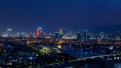
After the merger and expansion to the south, Da Nang city entered a new page in its history. This is not simply an adjustment of administrative boundaries, but a comprehensive restructuring, posing both opportunities and challenges for Da Nang: How to become a modern urban area of regional and international stature, while still maintaining balance, identity and sustainability?
The new big picture
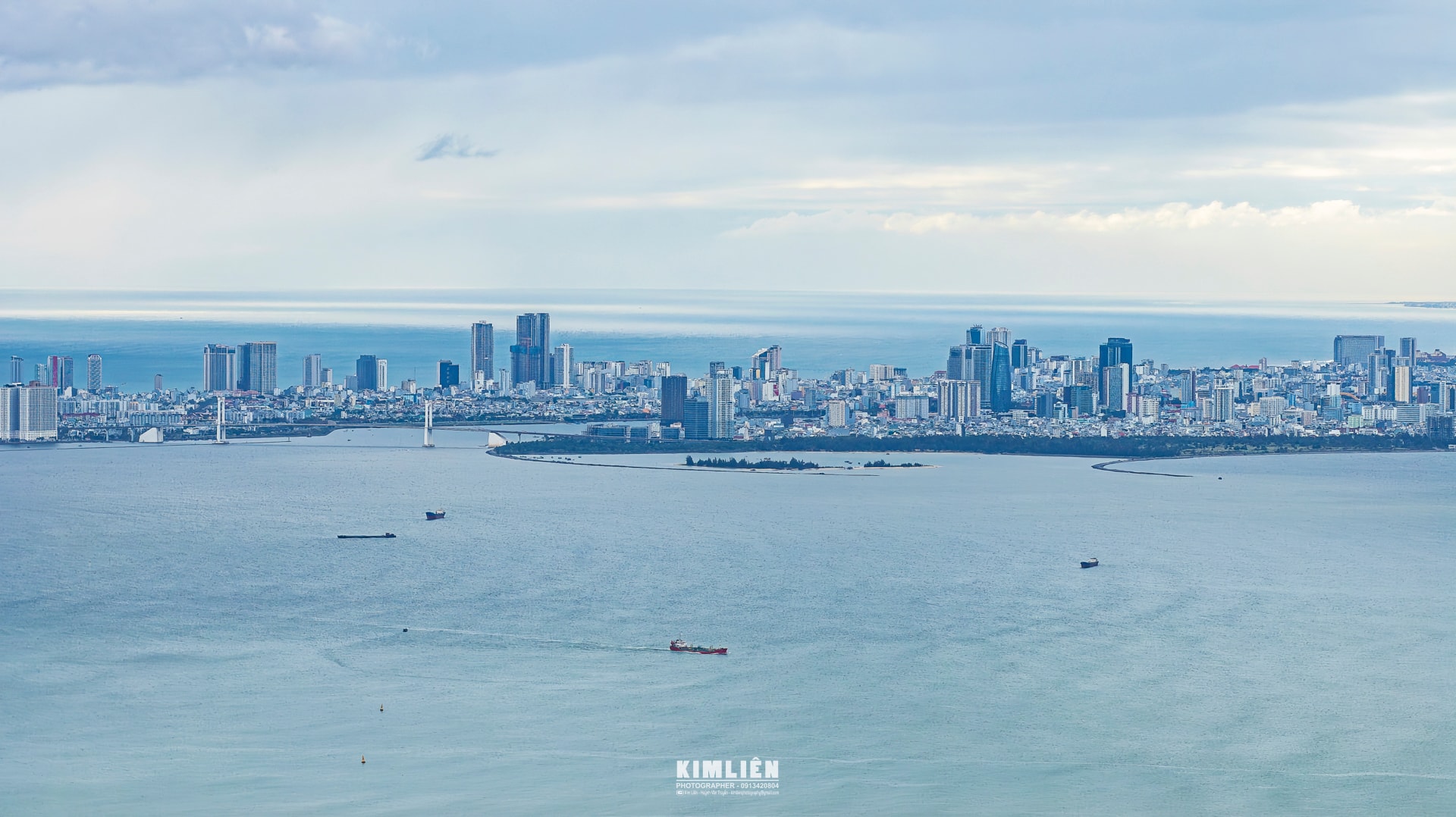
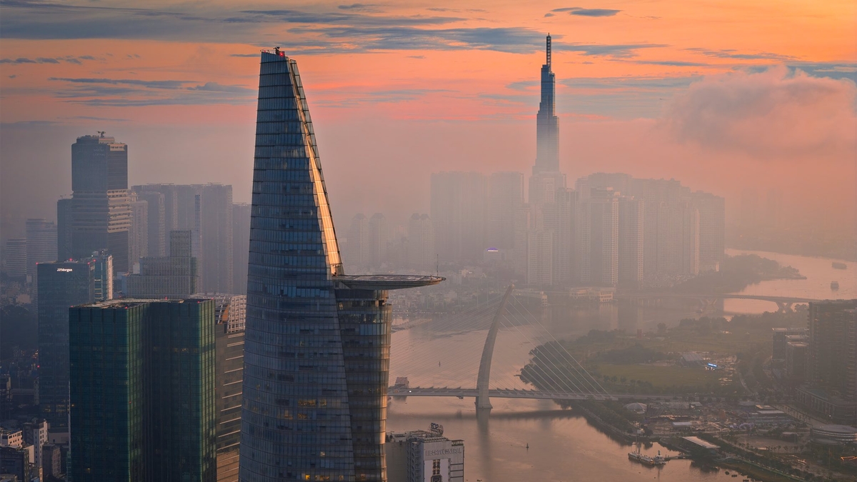
Da Nang today has gone beyond the image of a purely coastal city. The city is now a comprehensive picture made up of plains, midlands and mountains, a space diverse in terrain, resources and culture.
That brings great development potential, but also poses a heavy responsibility, when having to ensure harmony between regions, not letting the mountainous areas fall behind while the plains make strong breakthroughs, is a problem of comprehensive, equitable and sustainable development.
In that picture, establishing a development space into two regions, east and west, has strategic significance, both inheriting the old foundation and opening up a new direction, ensuring comprehensive, sustainable development, adapting to climate change, one of the biggest challenges today.
Regional division is not intended to create development boundaries, but to create balance, share opportunities, shorten the gap between plains and mountainous areas, and effectively exploit the potential of each sub-region.
The division of the eastern and western regions is basically based on topographic and natural characteristics; basic economic and social uniformity and connectivity that facilitates the proposal and synchronous implementation of development solutions in the region.
Organizing and arranging territorial space in an optimal way, creating new development spaces; aiming at balance and sharing development opportunities for all people in the city.
At the same time, effectively exploit the potential and advantages of sub-regions and localities; exploit and use natural resources economically and effectively (especially land resources) in accordance with new development trends and scientific and technological advances; protect the environment... These are consistent principles to ensure sustainable development for the future of the city.
Eastern Region: Dynamic space for strategic development
The eastern region includes the entire coastal plain and midland area of the city, including the old Da Nang city and 9 cities, towns and districts of the old Quang Nam province (in the east). The entire region has an area of over 4,000km2, accounting for nearly 35% of the total area of the city, but has a population of about 2.5 million people, accounting for more than 80% of the city's population.
The eastern region is where most of the factors converge to become the main growth pole of the city, including: coastal and midland land fund, dense population, strategic infrastructure system along the North-South axis, seaport and international airport.
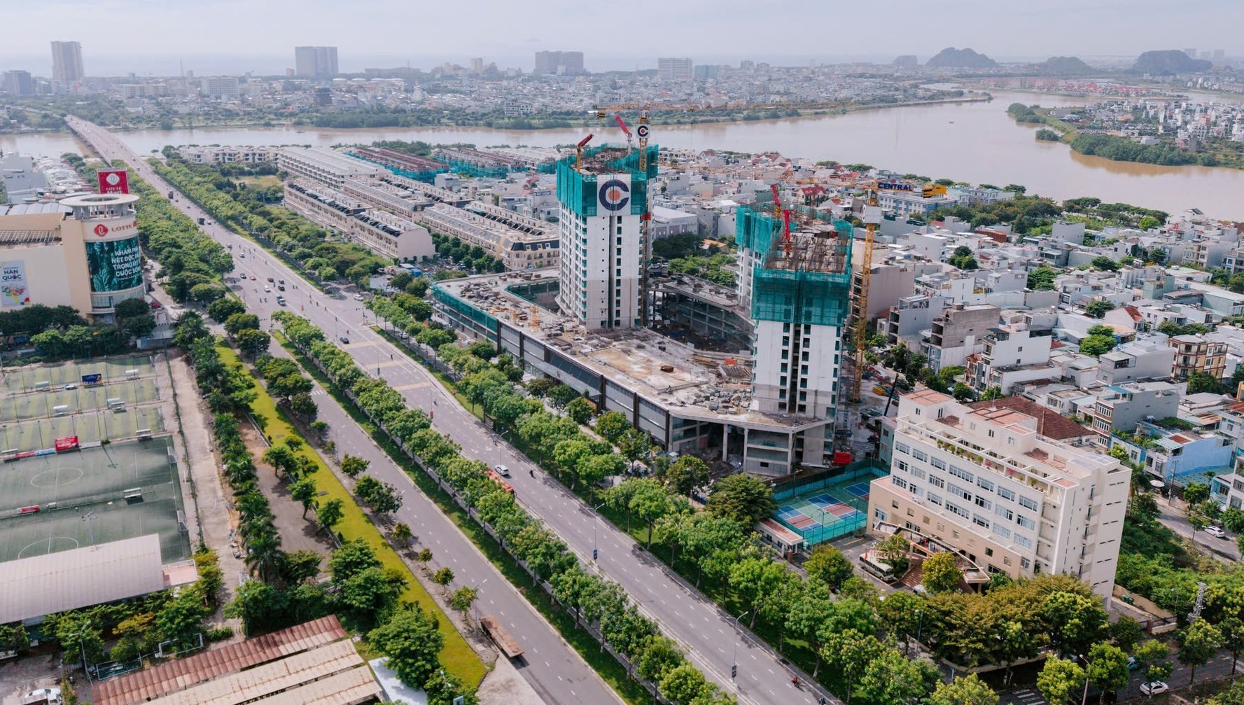
This is a strategic development area, a driving force and also a space to demonstrate the stature and development image of the city with key economic sectors being marine economy, urban, service, tourism; industry, high technology... At the same time, it is an area that concentrates urban development strategies with 3 dynamic urban clusters, including: Da Nang - Hoi An - Dien Ban; Duy Xuyen - Thang Binh (Nam Hoi An); Tam Ky - Nui Thanh.
The area has a unique spatial configuration (along rivers and seas) and important infrastructure connections.
This space is an average strip of land about 30km wide running more than 100km from north to south, but with full strategic connecting infrastructure, including: seaport clusters and airports at both ends; high-speed traffic routes (national highways, expressways); traffic routes continuously connecting river-sea spaces; continuously connecting urban functions, new urban areas such as: the international-branded gateway urban area of Da Nang, connecting urban chains with tourism, resort services, industrial parks and the vast rural areas of the delta and midlands.
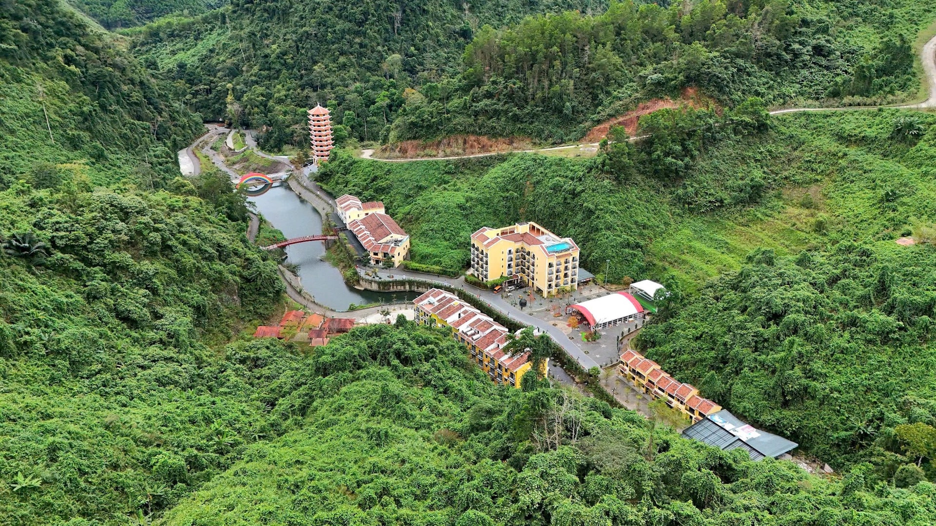
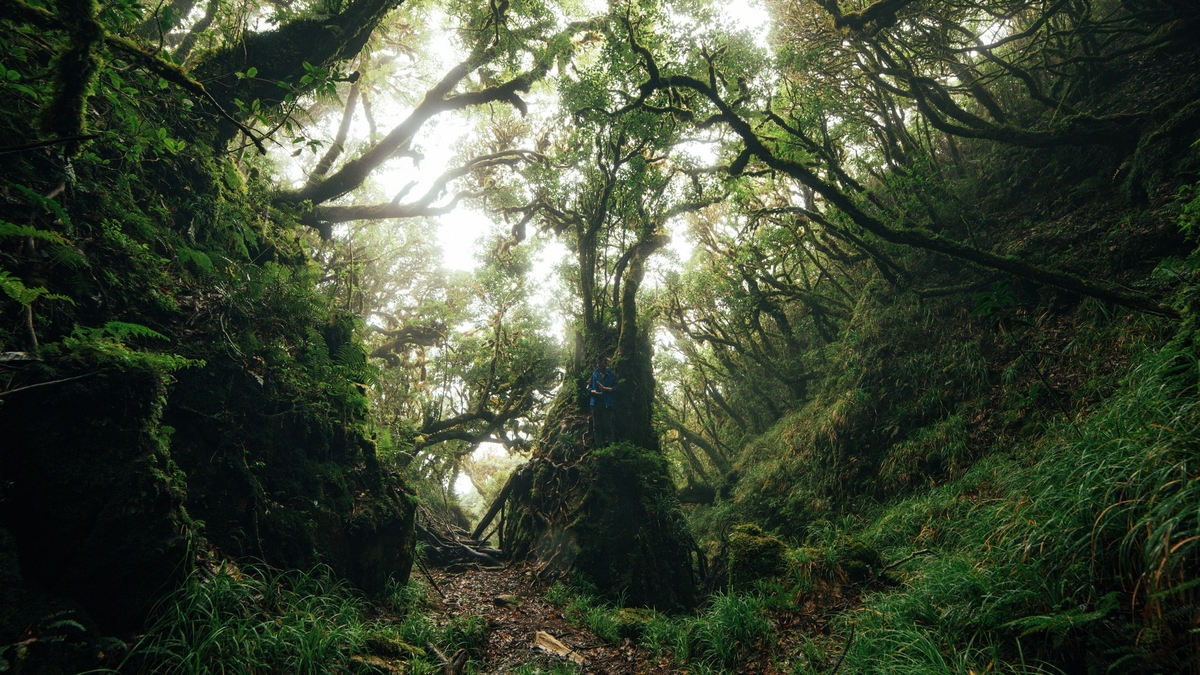
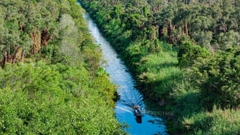
Western Region: Ecological space and connecting gateway
The Western region includes the area of mountainous communes in the west of the city with a total area of about 7,700km2 , accounting for 65% of the total natural area of the city, but the population is only about 290,000 people, accounting for about 10%.
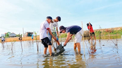
This is an area that concentrates ecological spaces and conserves important natural forest ecosystems of the city, such as: Song Thanh National Park, part of Bach Ma National Park, Ngoc Linh Nature Reserve, Quang Nam Saola Conservation Area, Elephant Species and Habitat Conservation Area.
The largest resource of the region is land, but most of it is mountainous terrain (more than 80% of the area), which is not favorable for developing new functional areas. In addition, the terrain is fragmented, there are difficulties in connecting infrastructure, and major traffic is mainly east-west connection. The difficulties of the Western region are reflected in the shortage of labor, low population quality, low labor resources; lack of economic and technical facilities to create markets; and the impact of natural disasters such as landslides, floods, etc.
Overall, for the western region, the difficulty in infrastructure connection is the fundamental weakness and the biggest barrier to the region's development.
The strategy for developing the western region is to focus on investing in transport infrastructure to ensure synchronous and smooth connections. This is the key to the regional development problem, opening up a new development strategy based on the characteristics and promoting the advantages of the western gateways of the city.
From there, there will be sharing, creating new development momentum, complementing and promoting the driving force from the eastern region and the Nam Giang and Tay Giang border gates as well as connecting the Central Highlands so that the western region can become a bridge for international economic cooperation with Laos and Thailand, opening up new development momentum when exploited in the right direction.
------------
Final episode: Building a hierarchical urban ecosystem
Source: https://baodanang.vn/giai-phap-quy-hoach-phat-trien-thanh-pho-da-nang-can-bang-dong-tay-ban-sac-va-ben-vung-ky-1-dinh-hinh-khong-giant-phat-trien-3305097.html


![[Photo] Solemn opening of the 1st Government Party Congress](https://vphoto.vietnam.vn/thumb/1200x675/vietnam/resource/IMAGE/2025/10/13/1760337945186_ndo_br_img-0787-jpg.webp)


![[Photo] General Secretary To Lam attends the opening of the 1st Government Party Congress](https://vphoto.vietnam.vn/thumb/1200x675/vietnam/resource/IMAGE/2025/10/13/1760321055249_ndo_br_cover-9284-jpg.webp)


Comment (0)