According to the Hanoi City Civil Defense Command, in the early morning of the same day, the water level of Ca Lo River at Manh Tan station was measured at 8.04m, exceeding alert level III. In this situation, the Hanoi City Civil Defense Command issued alert level 3, applicable to the communes: Soc Son, Da Phuc, Thu Lam, Phuc Thinh, Quang Minh, Tien Thang and Noi Bai; requiring units and forces in the area to strictly implement flood prevention and control regulations according to alert level 3, ensuring safety for people and important works.
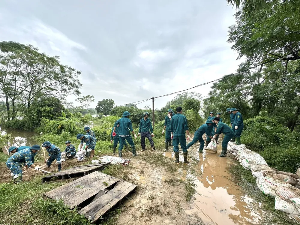
Along with that, this morning, the water level in many rivers in Hanoi continued to be high. In particular, the Bui River in Yen Duyet reached 6.74m (0.24m above alert level 2); the Tich River in Vinh Phuc reached 7.62m (0.38m below alert level 3); the Cau River in Luong Phuc reached 8.76m (0.76m above alert level 3); the Ca Lo River in Manh Tan reached 8.4m (0.4m above alert level 3). It is forecasted that in the next 12-24 hours, the water level of the Cau River and Ca Lo River will continue to rise, while the Bui River and Tich River will change slowly following an upward trend.
Low-lying areas, alluvial plains, and riverside areas are at risk of flooding 0.2-0.6m deep, and in some places over 0.6m; flooding can last 2-4 days, posing a risk of riverbank erosion and insecurity at key dykes. The level of flood disaster risk is determined at level 2.
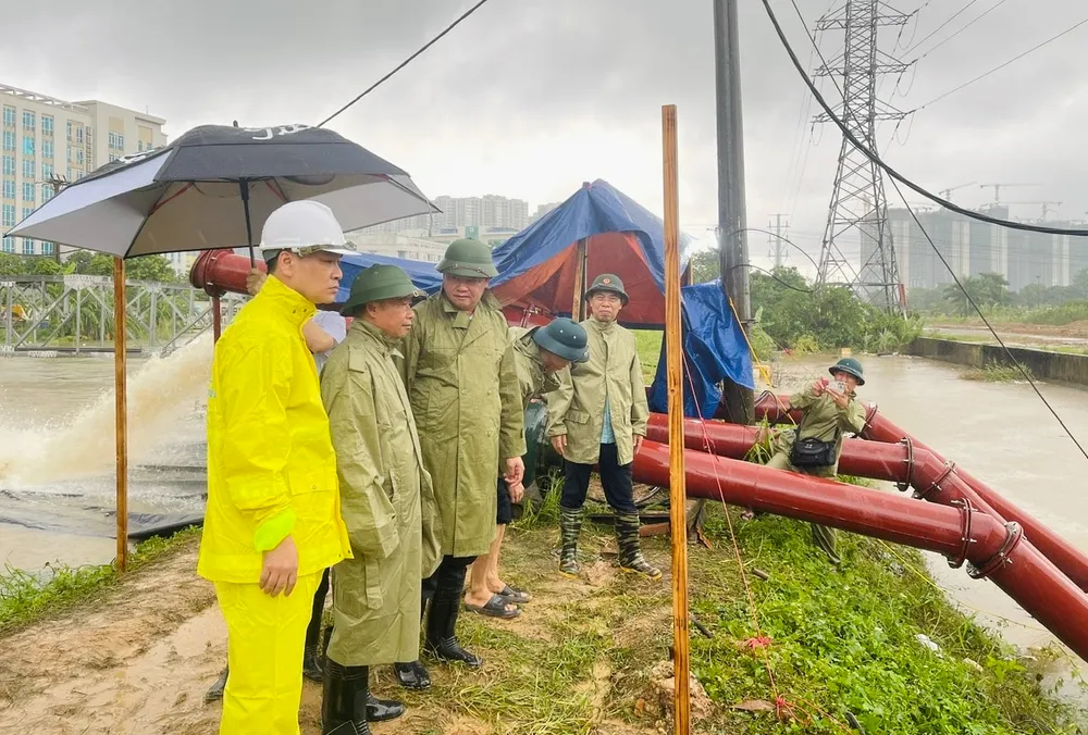
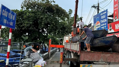
Faced with this situation, the Chairman of the Hanoi People's Committee issued Official Dispatch No. 17/CD-UBND requesting leaders of units and localities to immediately deploy flood prevention and control measures according to the warning level, paying special attention to reviewing deeply flooded areas, areas at risk of landslides, flash floods, and flash floods to proactively evacuate residents, especially the elderly, children, and vulnerable people, from dangerous areas, ensuring the safety of people's lives first and foremost.
The telegram also requires units and localities to be ready to deploy dike protection plans, paying special attention to Cau River and Ca Lo River, where major floods are occurring and incidents have occurred in recent years; protecting key weak points, locations where incidents have occurred but have not been resolved; and dike sections close to rivers that are at risk of leakage and unsafety.
"Localities are requested to use all means to access deeply flooded and isolated areas to provide food relief to households, absolutely not letting people go hungry or thirsty," the dispatch of the Chairman of the Hanoi People's Committee clearly stated.
Source: https://www.sggp.org.vn/ha-noi-bao-dong-cap-3-do-lu-tren-song-ca-lo-post816913.html


![[Photo] Closing of the 13th Conference of the 13th Party Central Committee](https://vphoto.vietnam.vn/thumb/1200x675/vietnam/resource/IMAGE/2025/10/08/1759893763535_ndo_br_a3-bnd-2504-jpg.webp)




































Comment (0)