
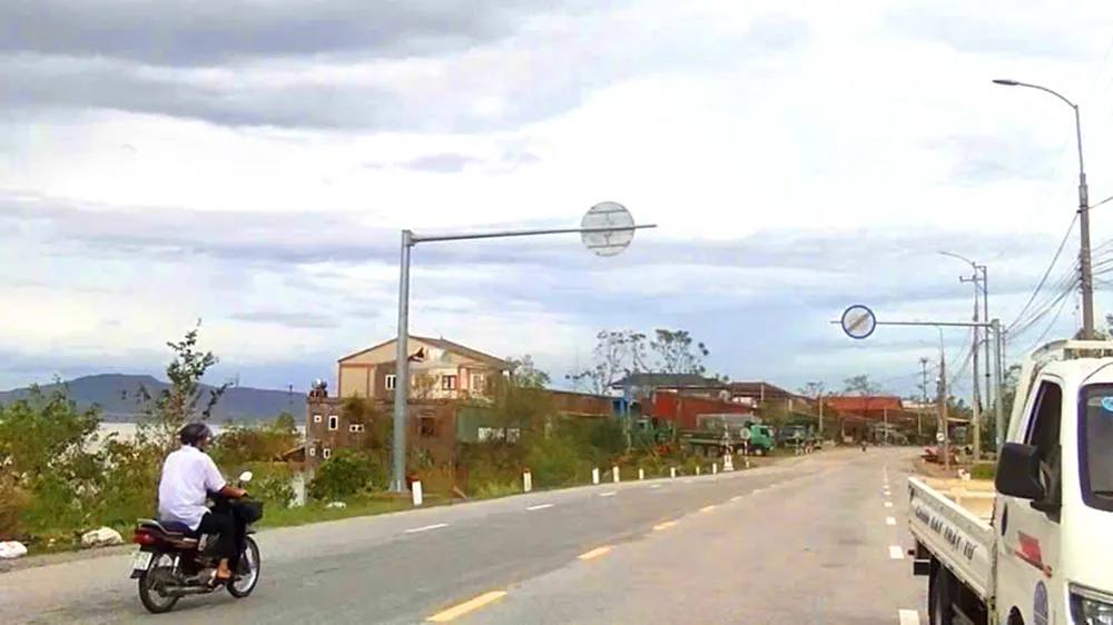
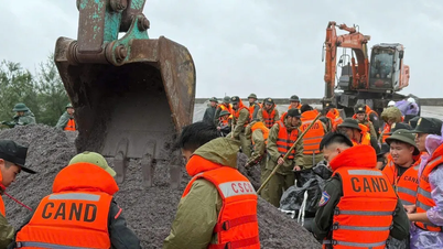
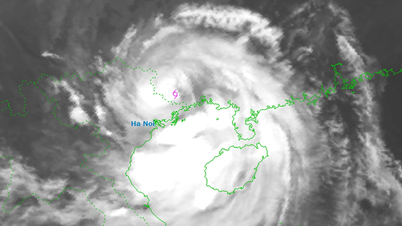
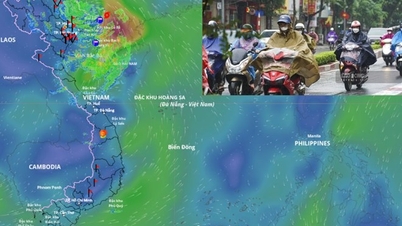
Previously, as SGGP Newspaper reported, from the morning of September 30, due to the influence of storm No. 10 and the post-storm circulation, water from the upper Lam River poured strongly, causing National Highway 1A through the residential groups of Xuan Lam 1, 2, 3, 4, 5 (in Bac Hong Linh ward) to be flooded from 1m to 1.3m deep, with a length of about more than 1km.
At that time, to ensure safety, local authorities mobilized functional forces to set up barriers and warning signs at both ends of the flooded area, prohibiting people and vehicles from passing, and at the same time diverting and guiding vehicles to change direction and move along the Hong Linh bypass route to continue their journey.
On October 4, right after the floodwaters receded and National Highway 1A was officially opened, the authorities also dismantled and removed the previous barriers and warning signs to ensure traffic safety.
Source: https://www.sggp.org.vn/nuoc-lu-rut-quoc-lo-1a-doan-qua-ha-tinh-da-thong-tuyen-post816334.html

![[Photo] Prime Minister Pham Minh Chinh launched a peak emulation campaign to achieve achievements in celebration of the 14th National Party Congress](https://vphoto.vietnam.vn/thumb/1200x675/vietnam/resource/IMAGE/2025/10/5/8869ec5cdbc740f58fbf2ae73f065076)

![[Photo] Prime Minister Pham Minh Chinh chairs the Government's online conference with localities](https://vphoto.vietnam.vn/thumb/1200x675/vietnam/resource/IMAGE/2025/10/5/264793cfb4404c63a701d235ff43e1bd)


![[VIDEO] Summary of Petrovietnam's 50th Anniversary Ceremony](https://vphoto.vietnam.vn/thumb/402x226/vietnam/resource/IMAGE/2025/10/4/abe133bdb8114793a16d4fe3e5bd0f12)

![[VIDEO] GENERAL SECRETARY TO LAM AWARDS PETROVIETNAM 8 GOLDEN WORDS: "PIONEER - EXCELLENT - SUSTAINABLE - GLOBAL"](https://vphoto.vietnam.vn/thumb/402x226/vietnam/resource/IMAGE/2025/7/23/c2fdb48863e846cfa9fb8e6ea9cf44e7)


Comment (0)