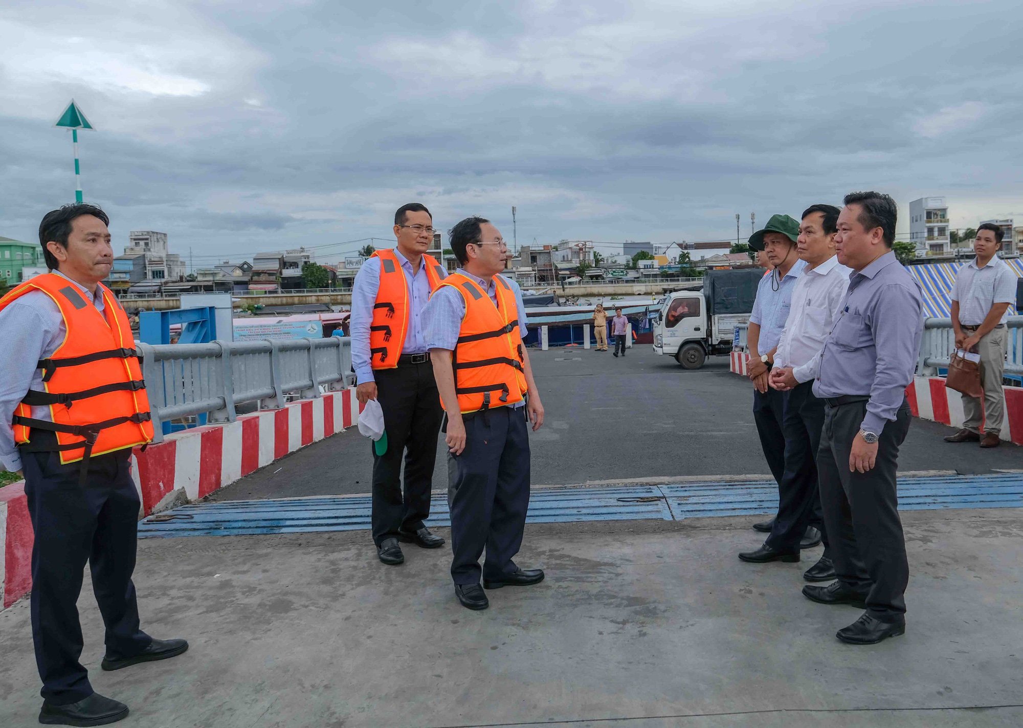
Mr. Nguyen Van Hieu - Secretary of Can Tho City Party Committee - surveyed the routes that will operate river buses - Photo: TL
The survey trip on the Hau River (Khai Luong and Con Khuong canals), Binh Thuy River, Can Tho River in the areas of Ninh Kieu, Binh Thuy, Cai Rang districts and Phong Dien district.
The river bus route is up to 38km long.
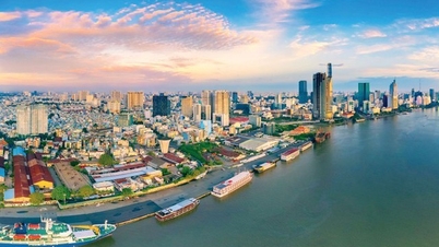
These are river routes with ports, wharves, and stops serving inland waterway public passenger transport routes in Can Tho. In the near future, they will be invested in and built to serve the economic and urban development along the city's rivers.
According to the Department of Transport of Can Tho City, the city's planning for the period 2021 - 2030, with a vision to 2050, has been approved by the Prime Minister , including a plan to develop inland waterway public passenger transport routes (water bus routes).
In parallel, ports, wharves, and passenger pick-up and drop-off points will be built to connect with water bus routes on two national inland waterways, the Hau River and the Can Tho River. The implementation period is 2024 - 2030.
The Department of Transport has proposed a plan to develop three waterway bus routes on the Hau River and Can Tho River. Specifically, waterway bus route No. 1 follows the Hau River, starting at the Can Tho international passenger port in the area in front of Hau River Park, Ninh Kieu District and ending at the central area of Thot Not District.
The length of the above river bus route is about 38km (through the districts of Ninh Kieu, Binh Thuy, O Mon, and Thot Not).
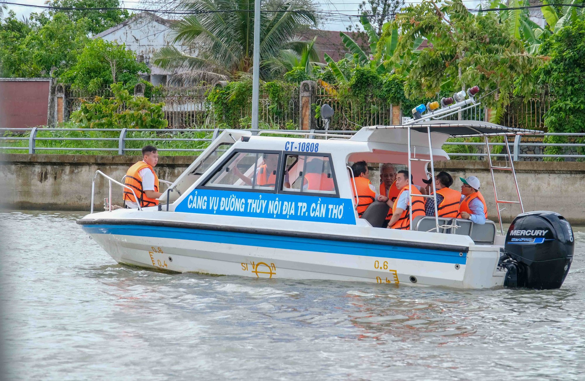
River bus survey team along Can Tho River - Photo: TL
Ports, wharves, and passenger pick-up and drop-off stops on the Hau River serving connections with bus routes according to the planning orientation include: Can Tho international passenger port (main bus route stop), it is expected that every 1-2km there will be a stop in urban areas, commercial services, residential areas, and tourist areas at locations connected to the highway axis and with sufficient land fund conditions to build infrastructure for the wharf and parking lot of the stop.
At the same time, the river bus route also connects with ports and inland passenger wharves according to the city's general planning and zoning plans of Ninh Kieu, Binh Thuy, O Mon, and Thot Not districts.
River bus combines both transport and tourism
Waterway bus route No. 2 runs along the Can Tho River, starting at the Can Tho International Passenger Port (in front of Hau River Park, Ninh Kieu District) and ending at the central area of Phong Dien District. The total route length is about 21km (through Ninh Kieu, Cai Rang, Phong Dien District).
Waterway bus route No. 3 runs along the Hau River, starting at Can Tho International Passenger Port in front of Hau River Park, Ninh Kieu District and ending at the passenger port in urban area 586, Cai Rang District. The route is about 7.5km long (through Ninh Kieu and Cai Rang districts).
Regarding the planned river bus development routes, the Secretary of the Can Tho City Party Committee said that if only exploiting river bus services, it would be wasteful because it has only one function: transportation.
Meanwhile, Can Tho is an ecological river city, so when talking about river buses, we must immediately think of serving both transportation and tourism. In which, tourism is the long-term economic development orientation of the city, and transportation is the means to serve the travel needs of people and tourists.
Mr. Nguyen Van Hieu suggested that the Department of Construction should soon study some locations along the Can Tho River, Binh Thuy River, Khai Luong Canal... to implement the 1/2000 planning and urban planning along the rivers. From there, it will be the basis for exploiting land funds or allowing people to change the purpose of land use to develop high-rise urban areas along these rivers.
Source: https://tuoitre.vn/can-tho-se-khai-thac-3-tuyen-buyt-song-dac-trung-mien-tay-nam-bo-20240624201216078.htm


![[Photo] Super harvest moon shines brightly on Mid-Autumn Festival night around the world](https://vphoto.vietnam.vn/thumb/1200x675/vietnam/resource/IMAGE/2025/10/07/1759816565798_1759814567021-jpg.webp)






































Comment (0)