
My knowledge of the East African islands was completely vague until I received a gracious invitation from the Mauritius Tourism Board; to participate in a project to produce promotional images and exhibitions for this beautiful island nation.
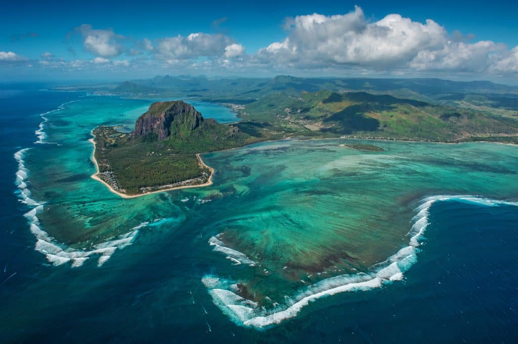
Le Morne Underground Waterfall
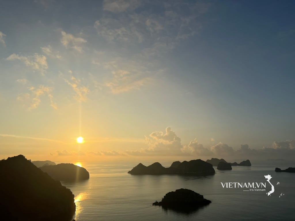
After two flights, Mauritius gradually appears on the deep emerald green background of the Indian Ocean. With an area of only 2,040km², and a population of nearly 1,300,000 people, this is the island nation with the second highest GDP per capita in Africa, with strengths in agriculture , tourism, textiles, fisheries and financial services.
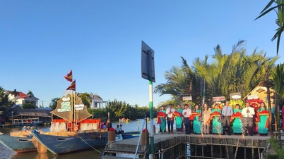
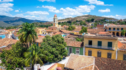
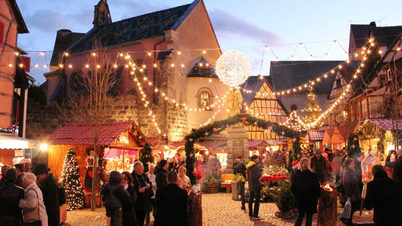
Sir Seewoosagur Ramgoolam International Airport has a modern arched architecture, stylized from the image of the ravenala palm, a typical tropical tree of Mauritius. From here, go 47km northwest to the capital Port Louis. Port Louis was built by the French in 1736 as a transit point for ships going around the Cape of Good Hope on the way from Asia to Europe. Although not large and bustling, Port Louis has all the historical, cultural and economic elements of a typical capital. Le Caudan Waterfront commercial area, with a row of restaurants and cafes, has a beautiful coastal corridor along the harbor, and in the opposite direction is a colorful street leading to the shopping area and the Caudan Arts Center, where performances and art exhibitions are held. This is also where my panorama photos were displayed to celebrate the 50th anniversary of the island nation's Independence Day.
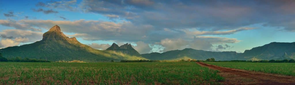
Panorama of sugarcane fields
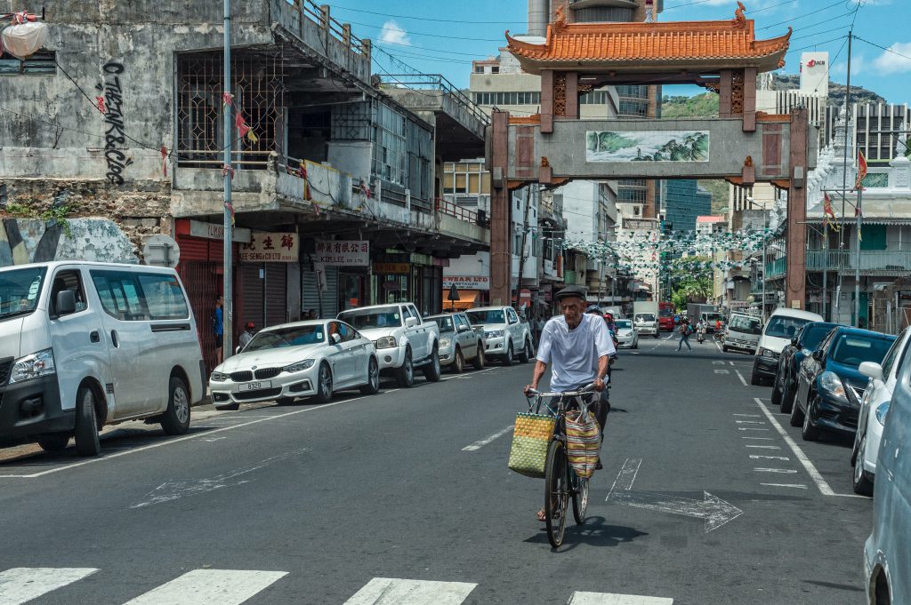
In contrast to the modern architecture of Le Caudan Waterfront is China Town, which is imbued with the traditional character of the Chinese community, mainly from Guangzhou in the late 18th century to settle here. This area is always crowded and bustling. But to learn about the local culture, there is no better place than the market, Bazaar Port Louis, which is always full of colors and smells of tropical fruits, vegetables and seafood.
Not only blessed with blue sky, white clouds, and golden sunshine, Mauritius also inherits the colonial cultural heritage of the French, Portuguese, and British periods, so any area, whether east, west, south, or north, is an interesting destination. The north has a vibrant atmosphere with restaurants, bars, and coastal golf courses. But the most impressive is the red-roofed church in Cap Malheureux, built in 1938, which is one of the most checked-in spots. If you need some peace, the Bel Ombre coast in the south is a perfect choice. From here, 25km north is the sacred lake Grand Bassin next to the Savanne mountain range, an important spiritual site for Hindus in Mauritius.
China Town
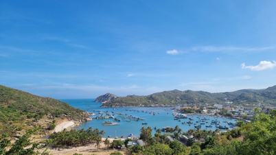
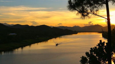
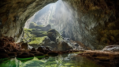
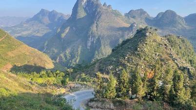
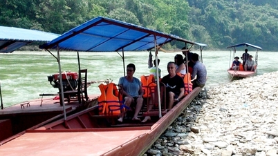
Belle Mare Beach in the east is one of Mauritius' longest beaches, over 10km of white sand with clear blue water, suitable for water sports, swimming and exploring marine life. In the west is the majestic Le Morne Brabant, a symbol of the struggle for freedom of slaves from the African continent, Madagascar and India during the 18th and early 19th centuries. Black people and slaves also took refuge in the caves here, protected by isolated cliffs. It is said that after the British passed the Slavery Abolition Act in 1834, the authorities came to Le Morne to inform the slaves that they were finally free. But when the soldiers arrived, the slaves panicked. They climbed to the top of the mountain and jumped to their deaths. Le Morne Brabant was recognized by UNESCO as a World Heritage Site in 2008 because of its heroic history, unique ecosystem and a magnificent underground waterfall when viewed from above. From Le Morne Brabant, follow the B9 road 15km east to the Seven-Color Geopark, like a rainbow on the continental shelf, about 8.5 hectares wide for visitors to visit the geological heritage.
With a modest area, but converging all the elements of heaven, earth and people, only when experiencing it directly here, can one see the truth of the saying "Paradise is a copy of Mauritius" by American writer Mark Twain.
Source: https://heritagevietnamairlines.com/mauritius-noi-thien-duong-ha-gioi/
![[Photo] Students of Binh Minh Primary School enjoy the full moon festival, receiving the joys of childhood](https://vphoto.vietnam.vn/thumb/1200x675/vietnam/resource/IMAGE/2025/10/3/8cf8abef22fe4471be400a818912cb85)


![[Infographic] Notable numbers after 3 months of "reorganizing the country"](https://vphoto.vietnam.vn/thumb/1200x675/vietnam/resource/IMAGE/2025/10/4/ce8bb72c722348e09e942d04f0dd9729)


![[Photo] Binh Trieu 1 Bridge has been completed, raised by 1.1m, and will open to traffic at the end of November.](https://vphoto.vietnam.vn/thumb/402x226/vietnam/resource/IMAGE/2025/10/2/a6549e2a3b5848a1ba76a1ded6141fae)


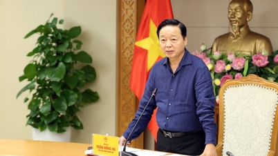
![[Photo] Prime Minister Pham Minh Chinh chairs meeting to deploy overcoming consequences of storm No. 10](https://vphoto.vietnam.vn/thumb/1200x675/vietnam/resource/IMAGE/2025/10/3/544f420dcc844463898fcbef46247d16)


Comment (0)