
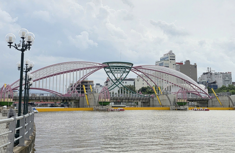
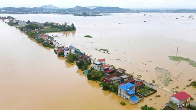
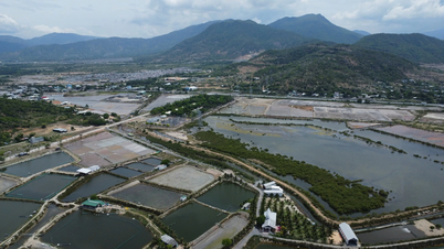
On October 8, according to the Can Tho City Hydrometeorological Station, the high tide reached 2.13 m, 0.13 m higher than alarm level III.
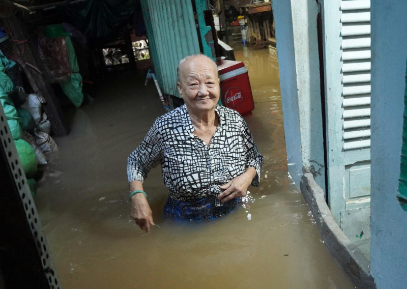
High tides flooded many areas and traffic routes in central wards of the city, such as Bui Huu Nghia, Cach Mang Thang Tam, Doan Thi Diem, Nguyen Van Cu streets (section through Con Khuong, Cai Khe ward), etc. Binh Thuy market area (Binh Thuy ward), Ben Ninh Kieu (Ninh Kieu ward) were heavily flooded.
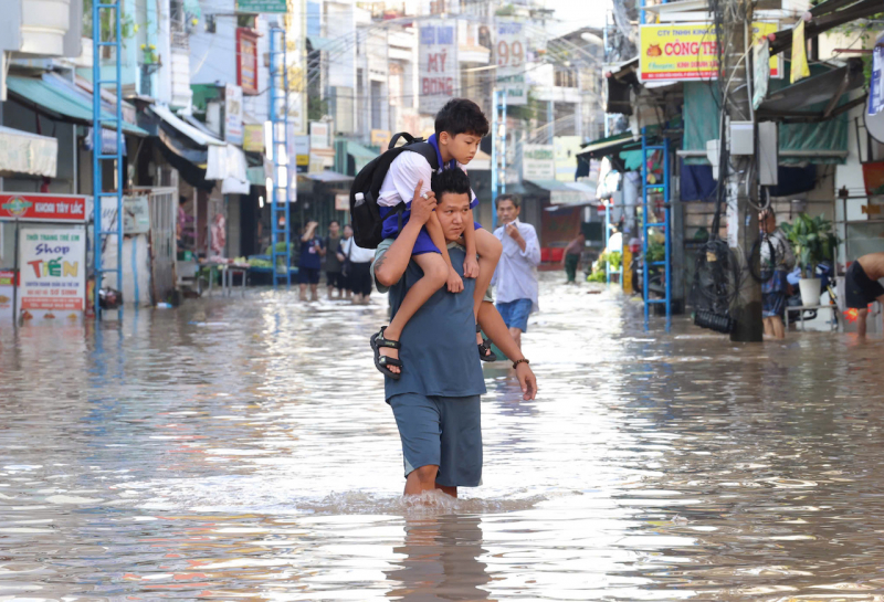
According to forecasts, on October 9, the high tide will continue to rise to 2.25 m and is close to the historical peak tide in 2022 of 2.27 m. Low-lying areas, roads along rivers and canals will continue to be flooded, affecting people's lives and activities.
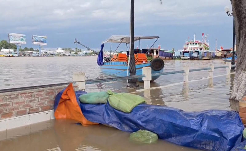
According to the Can Tho City Hydrometeorological Station, this is the highest tide in 2025 due to heavy rain (affected by storms) combined with upstream water. The water level continues to rise if combined with heavy rain, causing widespread flooding, especially in low-lying areas and inner-city riverside areas of the city.
The highest tide peak may appear during two high tides in late October and mid-November 2025.
The Can Tho City Civil Defense Command requested localities and management units to organize inspections and effectively operate locks, sluices, tide-prevention valves, and pumping stations to minimize water from rivers flowing back into the inner city through sewers, canals, and ditches.
Localities check roads, especially manhole covers on sidewalks and roads to avoid dangerous deep holes and organize traffic guidance on flooded roads, etc.
Source: https://cand.com.vn/Xa-hoi/trieu-cuong-dang-cao-gay-ngap-nhieu-noi-trong-noi-o-can-tho-i783978/

![[Photo] Prime Minister Pham Minh Chinh attends the World Congress of the International Federation of Freight Forwarders and Transport Associations - FIATA](https://vphoto.vietnam.vn/thumb/1200x675/vietnam/resource/IMAGE/2025/10/08/1759936077106_dsc-0434-jpg.webp)
![[Photo] Prime Minister Pham Minh Chinh inspects and directs the work of overcoming the consequences of floods after the storm in Thai Nguyen](https://vphoto.vietnam.vn/thumb/1200x675/vietnam/resource/IMAGE/2025/10/08/1759930075451_dsc-9441-jpg.webp)


![[Photo] Closing of the 13th Conference of the 13th Party Central Committee](https://vphoto.vietnam.vn/thumb/1200x675/vietnam/resource/IMAGE/2025/10/08/1759893763535_ndo_br_a3-bnd-2504-jpg.webp)


Comment (0)