
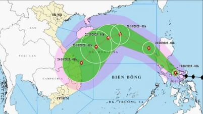
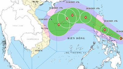
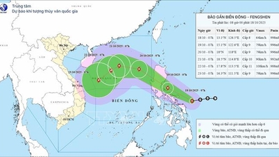
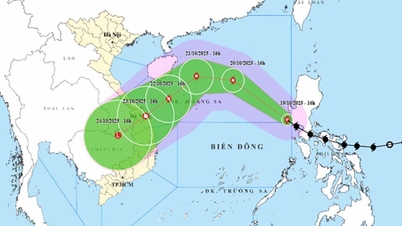
Super typhoon Ragasa has a southern tail that reaches all the way to Truong Sa special administrative region.
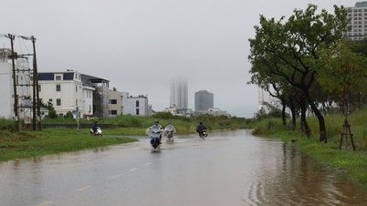
The National Center for Hydro-Meteorological Forecasting said that this afternoon and evening, September 23, the South Central Coast and Southern regions will have scattered showers and thunderstorms with rainfall of 15-30mm, with some places experiencing heavy rain of over 80mm due to the influence of super typhoon Ragasa.
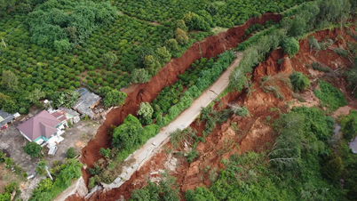
Warning of the risk of heavy rain (over 70mm/3h). During thunderstorms, there is a possibility of tornadoes, lightning, hail and strong gusts of wind. Localized heavy rain can cause flash floods on small rivers and streams, landslides on steep slopes and flooding in low-lying areas.
In addition, today the high tide in the lower Saigon River will peak. Heavy rain combined with high tide is likely to cause flooding in areas along canals, streams, and rivers.
Regarding sea weather, the sea area from Lam Dong - Ca Mau (including Ho Chi Minh City sea area) has southwest wind level 5, in the north sometimes level 6, gusting to level 7-8, wave height 1.5 - 3m, sea is slightly rough to rough.
Ca Mau - An Giang - Phu Quoc sea area has southwest wind level 4, wave height 0.5 - 1.5m.
On both coasts, the weather is scattered showers and thunderstorms. During thunderstorms, watch out for tornadoes and strong gusts of wind.
Detailed weather for Lam Dong, Dong Nai , and Tay Ninh provinces: variable to cloudy, intermittent sunny days, showers in many places, moderate to heavy rain in some places.
Western provinces in the evening scattered showers and thunderstorms.
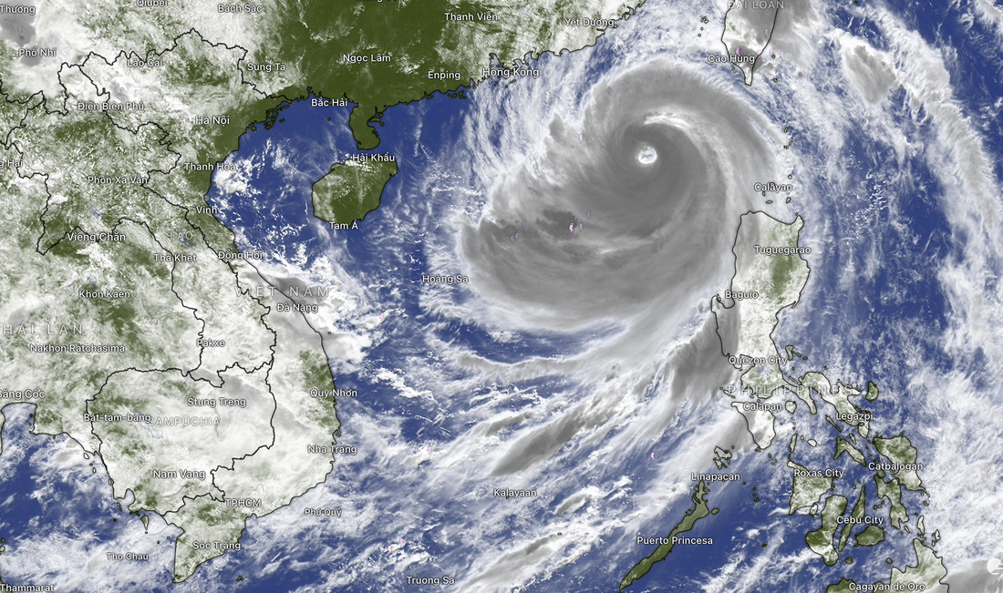
Photo of storm Ragasa on Windy app
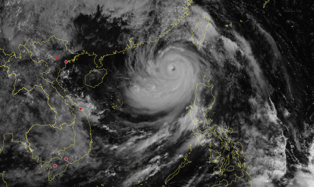
Storm Ragasa taken from the website of the Center for Hydrometeorological Observation Techniques
Source: https://tuoitre.vn/duoi-phia-nam-sieu-bao-ragasa-keo-dai-toi-truong-sa-chieu-nay-tp-hcm-mua-hon-80mm-20250923090153717.htm


Comment (0)