

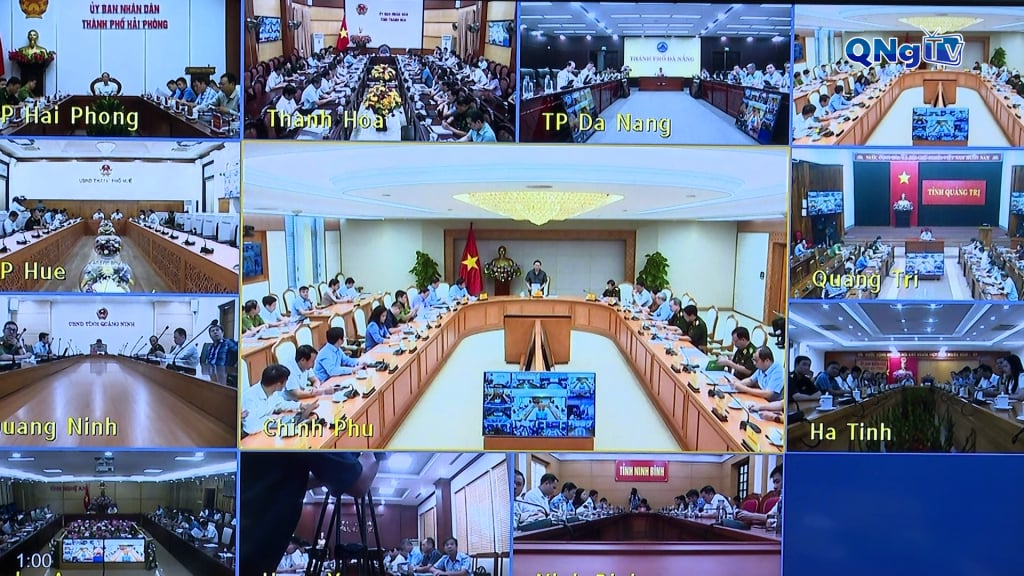
Deputy Prime Minister Tran Hong Ha emphasized that storm No. 10 is forecast to be strong, causing heavy rain when it makes landfall. Therefore, sectors and localities urgently review and monitor water levels, ensuring the safety of lakes, dams, and hydroelectric works. Actively exchange information, coordinate to develop and deploy response plans for storm No. 10. Be ready to mobilize forces, implement the 04 on-site motto, and be ready to respond to storm No. 10.
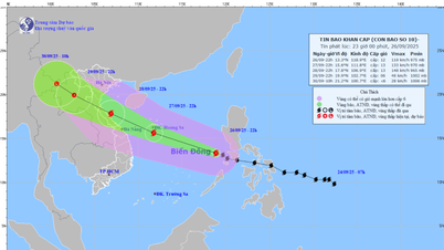
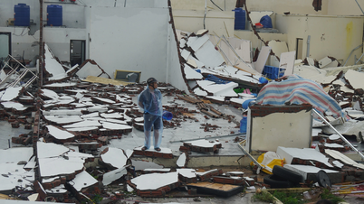
Latest update from the National Center for Hydro-Meteorological Forecasting, at 7:00 a.m. on September 27, the eye of the storm was about 480 km east-southeast of Hoang Sa Special Zone. The strongest wind near the eye of the storm was level 11-12, gusting to level 15. The storm moved west-northwest at a speed of 35-40 km/hour. This is a very fast-moving storm, with strong storm intensity and a wide area of influence, which can cause combined impacts of many types of natural disasters such as strong winds, heavy rains, floods, flash floods, landslides and coastal flooding. It is forecasted that on the evening of September 28 and early morning of September 29, the eye of the storm will make landfall in the area from Nghe An to Ha Tinh.
Quang Ngai has 235 ships with over 3,200 workers operating in the sea. All ships and boats have received information about the storm's developments and direction. Quang Ngai prohibits all ships and boats from operating at sea from 5:00 p.m. this afternoon until the weather stabilizes. Complete the task of calling ships, boats, and rafts to anchor before 5:00 p.m. this afternoon. Inform, guide, and support people to urgently implement storm response solutions to ensure safety for people, houses, and infrastructure works.
Source: https://quangngaitv.vn/khan-truong-ung-pho-voi-bao-so-10-6507875.html


![[Photo] General Secretary To Lam chairs the meeting of the Central Steering Committee on preventing and combating corruption, waste and negativity](https://vphoto.vietnam.vn/thumb/1200x675/vietnam/resource/IMAGE/2025/9/29/fb2a8712315d4213a16322588c57b975)


Comment (0)