
 |
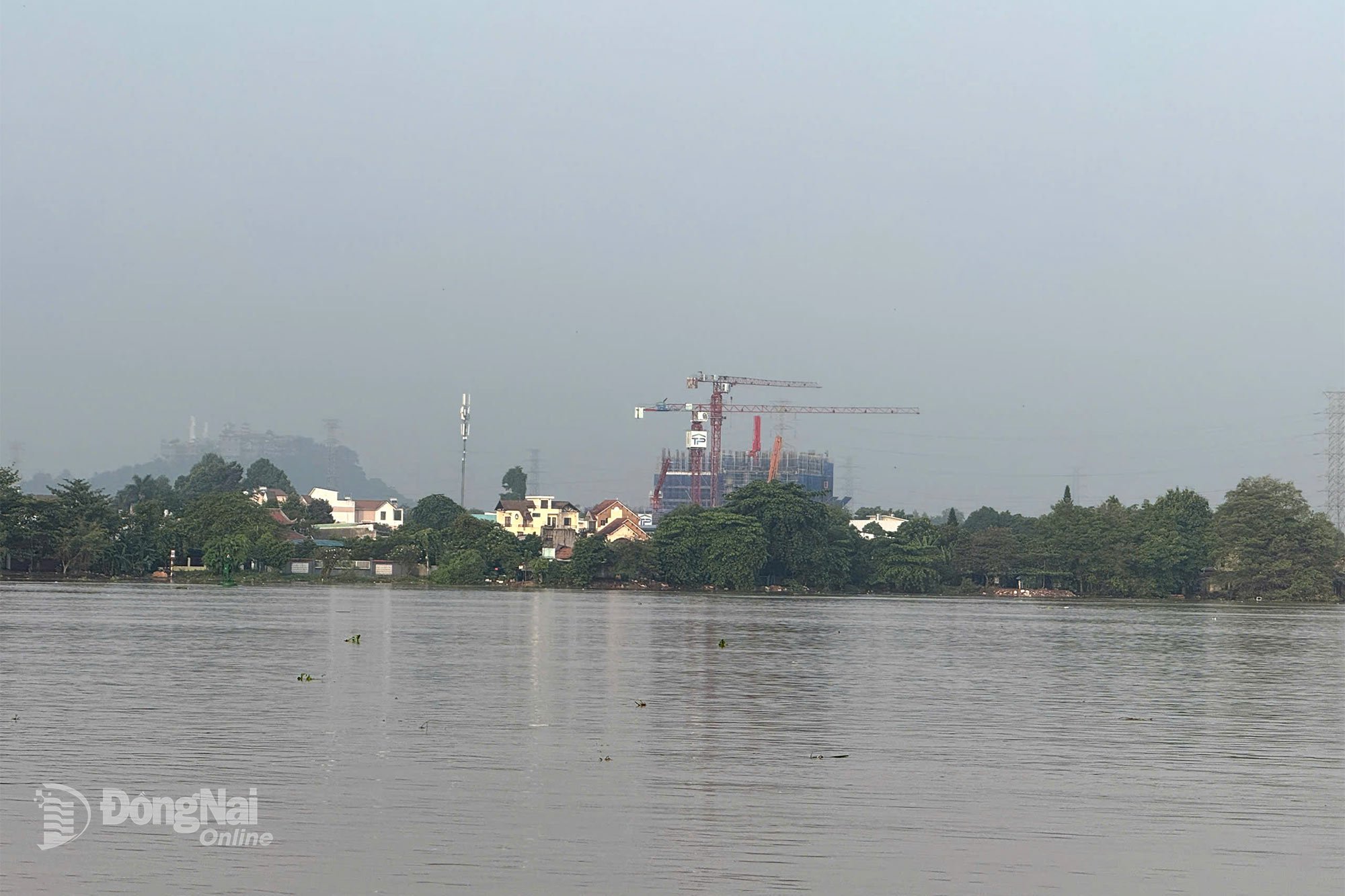
| The water level downstream of Dong Nai River is higher than alarm level 2. Illustration photo: Dang Tung |
At Bien Hoa station (downstream of Dong Nai river), the peak water level exceeded the alarm level 2 (2m). The peak water level on October 22 reached 2.02m, appearing at 6:30 p.m., 0.02m above the alarm level 2.
The high tide peak is forecast to remain at alert level 2 on October 23 and 24, with peak tides occurring between 6-7am and 7-8pm. The peak tide will gradually decrease in the following days.
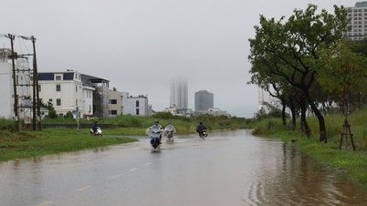
Warning: Low-lying areas along the river in the lower reaches of the Dong Nai River, in the wards and communes of Tri An, Tan An, Trang Dai, Tan Trieu, Bien Hoa, Tran Bien, Long Hung, Phuoc Tan, Tam Phuoc, An Phuoc, Nhon Trach, Dai Phuoc, Phuoc An and neighboring areas are at risk of flooding due to high tides.
It is necessary to guard against the possibility of heavy rain combined with floods causing inundation and landslides on river banks, streams, and low-lying areas in the above-mentioned wards and communes and neighboring areas downstream of the Dong Nai River.
Flood disaster risk level on Dong Nai River, downstream: Level 2.
Kim Lieu
Source: https://baodongnai.com.vn/xa-hoi/202510/khu-vuc-ha-luu-song-dong-nai-co-kha-nang-ngap-do-trieu-cuong-4792dda/
![[Photo] Da Nang: Shock forces protect people's lives and property from natural disasters](https://vphoto.vietnam.vn/thumb/1200x675/vietnam/resource/IMAGE/2025/10/22/1761145662726_ndo_tr_z7144555003331-7912dd3d47479764c3df11043a705f22-3095-jpg.webp)
![[Photo] Prime Minister Pham Minh Chinh chairs meeting on nuclear power plant construction](https://vphoto.vietnam.vn/thumb/1200x675/vietnam/resource/IMAGE/2025/10/22/1761137852450_dsc-9299-jpg.webp)


![[Photo] Award Ceremony of the Political Contest on Protecting the Party's Ideological Foundation](https://vphoto.vietnam.vn/thumb/1200x675/vietnam/resource/IMAGE/2025/10/22/1761151665557_giaia-jpg.webp)


Comment (0)