
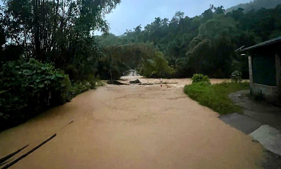
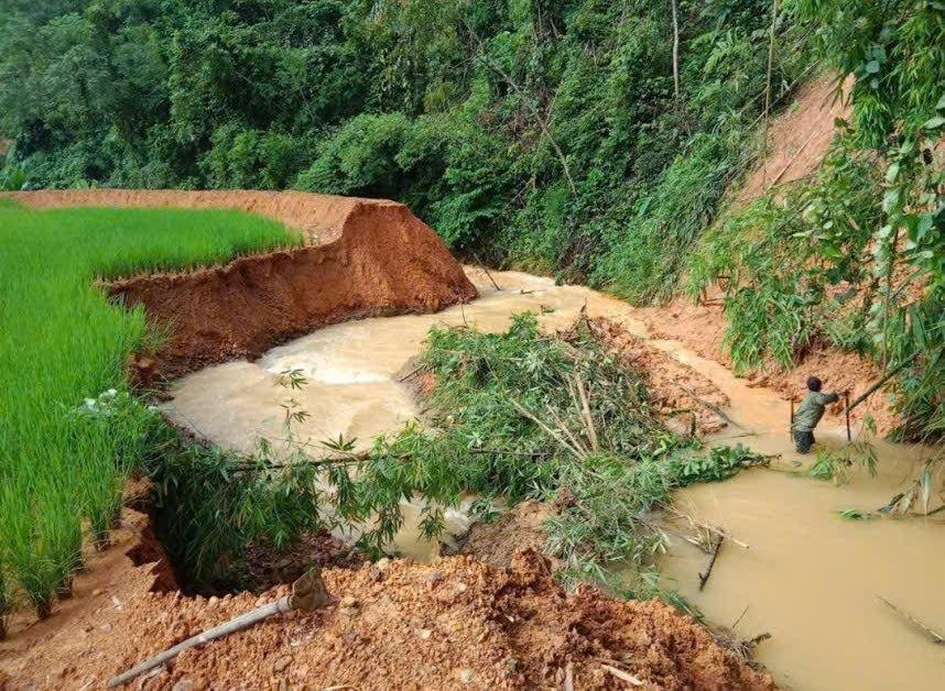
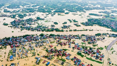
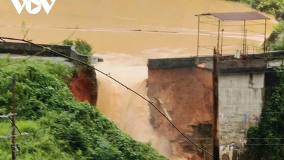
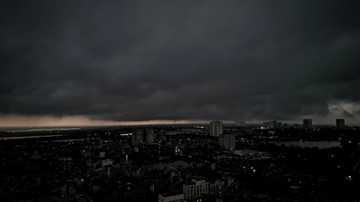
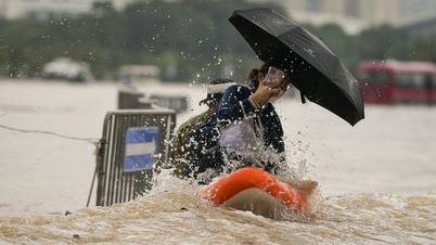
According to records, prolonged heavy rains caused the stream water to rise, cutting off many traffic routes. At Hat Quan Bridge (Tan Thanh hamlet), water overflowed the bridge, causing deep flooding, making it impossible for vehicles to pass. In Ban Tuom and Tan Tien areas, the water level in streams continues to rise.
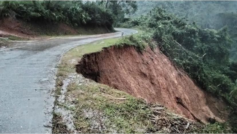
On the road from Kim Dong commune to the Canh Tan commune Party Committee headquarters, as well as inter-commune roads and in Tan Hong and Cau Lan hamlets, landslides have occurred at many points, posing a potential safety risk to people and vehicles.
According to forecasts, in the next 6 hours, the communes in the province will continue to have rain, with accumulated rainfall ranging from 20 - 80mm, with a high risk of flash floods, landslides and land subsidence.
Currently, the water level at Keo Ngoong Bridge (Tan Hoa hamlet), Hat Quan Bridge (Tan Thanh), and Na Ang Bridge (Tan Cuong) are all rising, overflowing the road surface; motorbikes are absolutely not allowed to pass through this area.
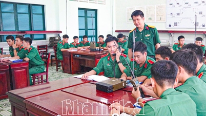
The Steering Committee for Natural Disaster Prevention and Search and Rescue of Canh Tan commune mobilized forces to support people in evacuation and was on duty 24/7 at key points.
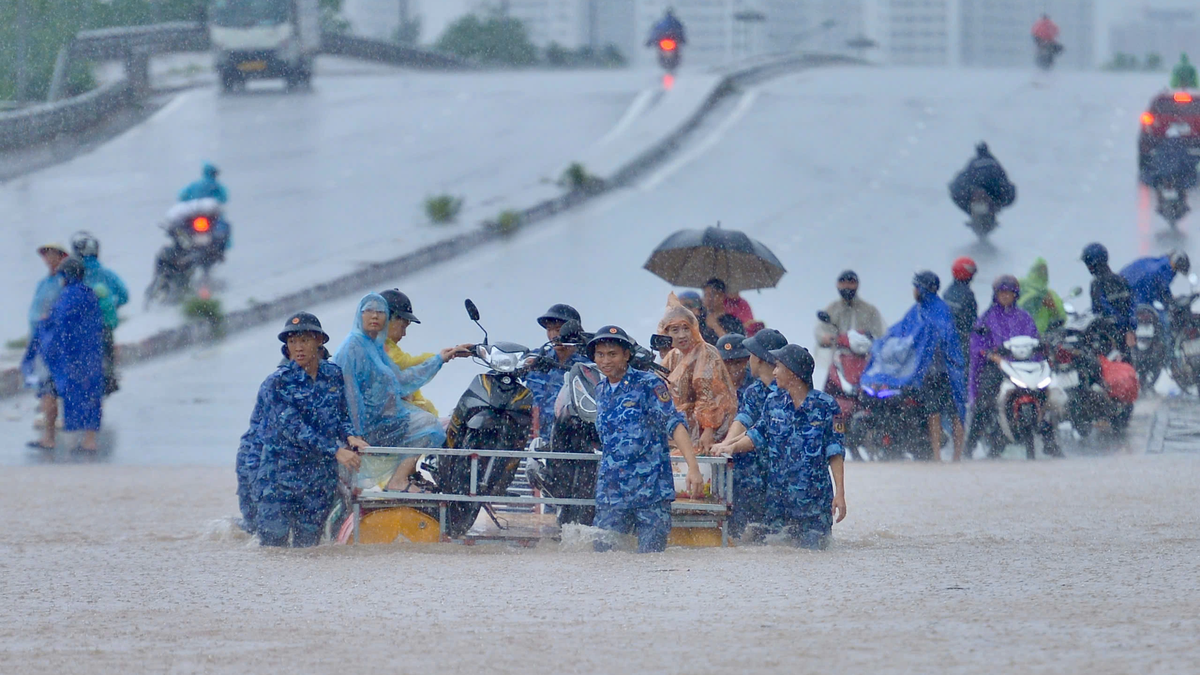
The People's Committee of the commune recommends that people stay calm, proactively prevent, and regularly update information from the authorities to ensure safety for themselves and their families. Households living along rivers, streams, and low-lying areas should not cross, collect firewood, or fish when the water level rises; promptly evacuate to safe places when there are signs or risks of landslides; limit going out when not really necessary, and find safe alternative routes.
In case of emergency, please contact: Mr. Hien: 0918.891.616; Mr. Cuong: 0982.650.800; Mr. Hao: 0812.331.688.
Source: https://baocaobang.vn/mua-lon-gay-sat-lo-dat-ngap-ung-xa-canh-tan-3181027.html


![[Photo] Prime Minister Pham Minh Chinh chairs the 16th meeting of the National Steering Committee on combating illegal fishing.](https://vphoto.vietnam.vn/thumb/1200x675/vietnam/resource/IMAGE/2025/10/07/1759848378556_dsc-9253-jpg.webp)


![[Photo] Super harvest moon shines brightly on Mid-Autumn Festival night around the world](https://vphoto.vietnam.vn/thumb/1200x675/vietnam/resource/IMAGE/2025/10/07/1759816565798_1759814567021-jpg.webp)


Comment (0)