
Accordingly, the Department of Planning and Investment of Ho Chi Minh City was assigned to coordinate with relevant units to propose a master plan for Khanh Hoi Port land in the direction of prioritizing land allocation for green development, forming a multi-functional park to serve the community; and study the plan to upgrade and expand Nguyen Tat Thanh Street to ensure traffic and convenience for people.
Regarding the land's legal status, according to the 1/2000 scale zoning plan of the existing central area of Ho Chi Minh City and the 1/500 scale planning project of the District 4 Port Sub-area previously approved by the Ho Chi Minh City People's Committee, Khanh Hoi Port is planned as a multi-functional urban area. In which, the main functional areas include: public works, green parks, residential areas, complexes, commercial service areas, offices, culture, entertainment and traffic systems and urban technical infrastructure.
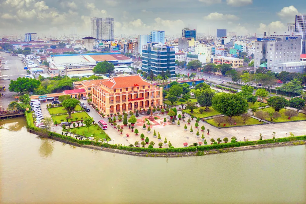
Regarding the current status of the land with the Nha Rong Wharf - Ho Chi Minh Museum - Ho Chi Minh City Branch, the office of Saigon Port Company, the system of old warehouses built from 1925-1929 along with the wharf and water tower.
According to the Department of Planning and Investment, currently, the proportion of green park area in the inner city area is still very low compared to the planning standards. The proposal of planning options and orientations prioritizes the allocation of land funds for green development, the formation of multi-functional parks to serve the community, combining park facilities, and improving the quality of life for people.
Based on the Project to adjust the General Planning of Ho Chi Minh City to 2040, with a vision to 2060 approved by the Prime Minister in Decision No. 1125/QD-TTg and the direction of the Ho Chi Minh City People's Committee, the Department of Planning and Investment proposed a preliminary plan for the master plan of Khanh Hoi Port land with a total research area of about 31.5 hectares.
The land is planned to function as a green park, entertainment space for residents and an international passenger port. The land use structure (on the total area excluding the area of Nha Rong Wharf - Ho Chi Minh Museum and national defense land) includes: green park land about 60%; public works about 20%; international port about 20%.
The plan to expand Nguyen Tat Thanh Street is oriented towards Khanh Hoi Port. The road clearance will be studied and specifically proposed by the Department of Construction, ensuring to meet the future infrastructure needs of the area.
Source: https://www.sggp.org.vn/tphcm-dinh-huong-quy-hoach-khu-dat-ben-nha-rong-post819610.html
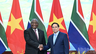
![[Photo] Prime Minister Pham Minh Chinh meets with South African President Matamela Cyril Ramaphosa](https://vphoto.vietnam.vn/thumb/1200x675/vietnam/resource/IMAGE/2025/10/23/1761226081024_dsc-9845-jpg.webp)
![[Photo] Prime Minister Pham Minh Chinh chairs meeting on railway projects](https://vphoto.vietnam.vn/thumb/1200x675/vietnam/resource/IMAGE/2025/10/23/1761206277171_dsc-9703-jpg.webp)

![[Photo] President Luong Cuong holds talks with South African President Matamela Cyril Ramaphosa](https://vphoto.vietnam.vn/thumb/1200x675/vietnam/resource/IMAGE/2025/10/23/1761221878741_ndo_br_1-8416-jpg.webp)


Comment (0)