
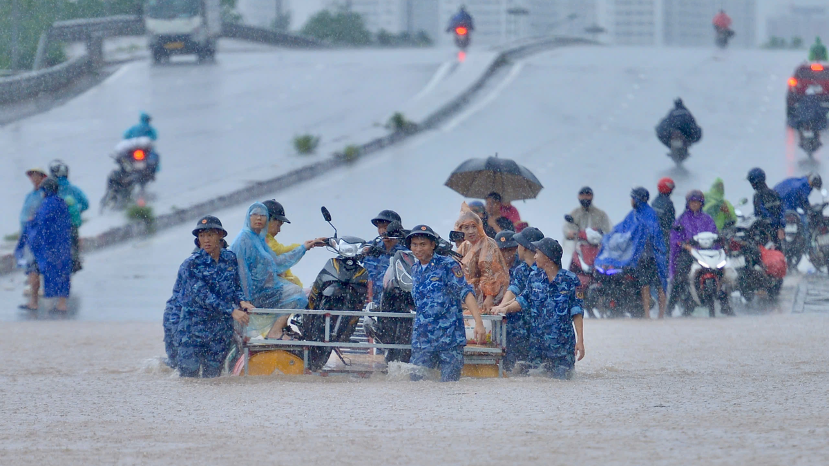
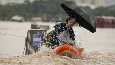
On the afternoon of October 7, the Ministry of Agriculture and Environment issued Official Dispatch No. 7607/BNNMT-DD regarding ensuring the safety of the dike system and responding to exceptionally large floods on Cau River, Thuong River, and Luc Nam River.
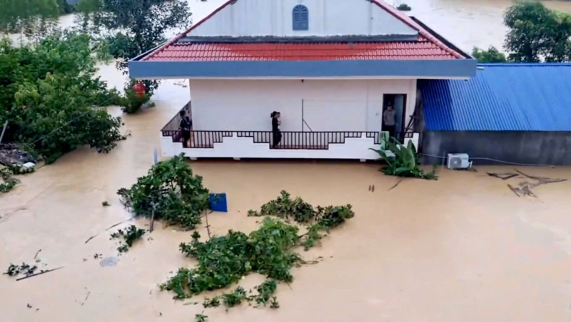
Currently, floods on Cau River, Thuong River, Luc Nam River are rising rapidly; water level at 2:00 p.m. on July 7, 2010 on Cau River at Gia Bay station: 28.87m, 0.06m above the historical level in 2024 (28.81m), on Thuong River at Cau Son station: 16.40m above BĐ3 0.4m. To ensure the safety of the dike system, the Ministry of Agriculture and Environment requests the People's Committees of the provinces and cities: Hanoi, Thai Nguyen, Bac Ninh, Hai Phong to direct relevant agencies and units to urgently implement the following contents:
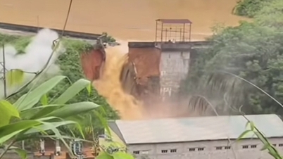
Mobilize all forces, materials, means, and equipment to proactively prevent overflows and reinforce weak dikes with insufficient elevation that are at risk of overflowing and breaking; ensure the safety of dikes in case flood water levels continue to rise.
Immediately check key locations of weak dikes, locations where incidents have occurred but have not been handled or repaired, and unfinished dike projects. Pay special attention to low dike sections, close to the river, which are often eroded, leaky, or landslides during floods, and weak and damaged culverts on the dike routes.
Immediately organize forces to regularly inspect, urge, patrol, and guard the dikes, promptly detect and handle incidents and situations that may occur from the first hour. Review reserve materials for flood and storm prevention and dike protection to promptly mobilize to handle dike incidents when situations occur.
According to the National Center for Hydro-Meteorological Forecasting, from this afternoon (October 7) to October 9, floods on rivers in the Northern region and Thanh Hoa will continue to rise. During this flood, the flood peak on Thai Binh River (Hai Phong) will reach level 2-3; the flood peak on Thao River (Lao Cai), Lo River (Tuyen Quang), Hoang Long River (Ninh Binh), and the upper Ma River (Thanh Hoa) will reach level 1-2.
The agency also informed about the risk of widespread flooding in the provinces of Thai Nguyen, Bac Ninh, Lang Son, Cao Bang and the risk of flooding in low-lying areas along rivers and urban areas in the Northern region and Thanh Hoa; the risk of landslides on river banks and river dykes, the risk of flash floods on rivers and streams and landslides on slopes in the mountainous areas of the Northern region and Thanh Hoa. Warning level of natural disaster risk due to floods: Level 3
Source: https://cand.com.vn/Xa-hoi/dam-bao-an-toan-cac-tuyen-de-ung-pho-lu-dac-biet-lon-i783857/

![[Photo] Prime Minister Pham Minh Chinh chairs the 16th meeting of the National Steering Committee on combating illegal fishing.](https://vphoto.vietnam.vn/thumb/1200x675/vietnam/resource/IMAGE/2025/10/07/1759848378556_dsc-9253-jpg.webp)


![[Photo] Super harvest moon shines brightly on Mid-Autumn Festival night around the world](https://vphoto.vietnam.vn/thumb/1200x675/vietnam/resource/IMAGE/2025/10/07/1759816565798_1759814567021-jpg.webp)


Comment (0)