
The City Department of Construction requests Project Management Board 4; project management boards under the city; People's Committees of communes, wards, and special zones; departments, offices, and units under the Department; units managing and regularly maintaining roads and inland waterways; construction and supervision units for repair works on roads and inland waterways to seriously implement the tasks specifically directed by the construction sector in Official Dispatch No. 5182, dated September 24, 2025.
The Department of Construction requested the People's Committees of Tay Giang and Hung Son communes, the Traffic Infrastructure Management Department, the Quang Nam Traffic Infrastructure Management Center (under the Department of Construction), and Dong Phong Consulting and Construction Joint Stock Company to deploy a plan to handle landslides on the roadbed, subsidence of the roadbed, and the risk of road breakage at Km23+480 of the DT606 route (section through Tay Giang commune); proactively respond to landslides caused by prolonged heavy rain, and avoid being passive or surprised.
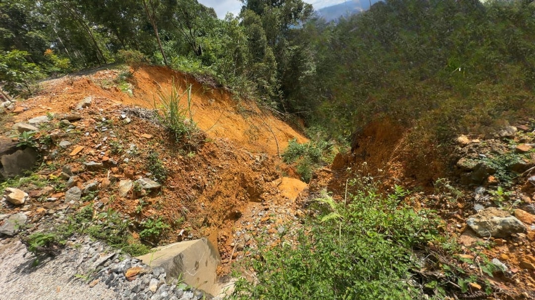
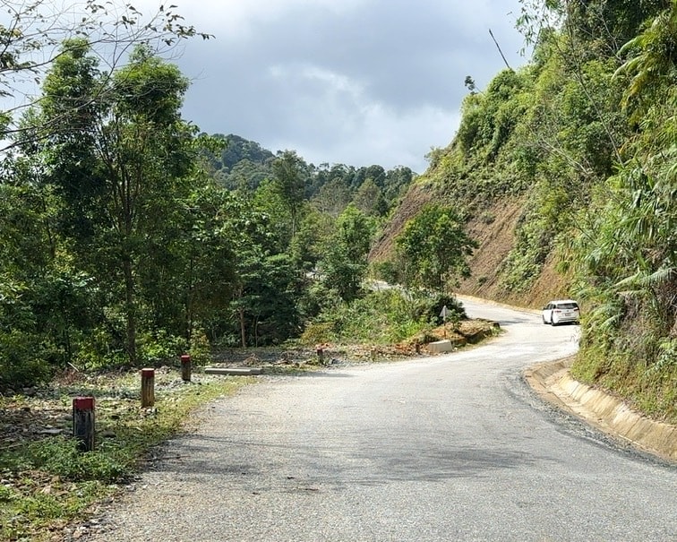
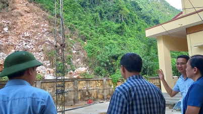
Deputy Director of Quang Nam Traffic Infrastructure Management Center Huynh Le Tuan said that through on-site inspection on October 15, 2025, the landslide situation on the above route showed that the current landslide area has an L-shaped roadbed, the negative slope side is a deep abyss, and has been seriously eroded. On the right side of DT606 is a positive slope about 50m high, with signs of a sliding arc cutting through the entire width of the roadbed and going deep into the positive slope.
Next to that, on the positive slope there are traces of suspected sliding arc edges (disturbed surface, with new soil streaks) going about 30m deep into the positive slope.
The road surface in the landslide section has subsided 18cm - 30cm deep, the collapsed road section is 43m long (from Km23+454 - Km23+497). Nearby the landslide area, there is no favorable location to climb to the top of the positive slope to check the position of the top of the slide arc.
Quang Nam Traffic Infrastructure Management Center has directed the maintenance unit to coordinate with local people to search for a suitable location, trying to determine the edge of the sliding arc on the top of the positive slope. The landslide area has no bypass road through the landslide location.
“In case another landslide occurs and the road is broken, the feasible solution is to dig into the positive slope to clear the road. However, the time to fix and ensure traffic is expected to be long due to the complex terrain of the area,” said Mr. Tuan.
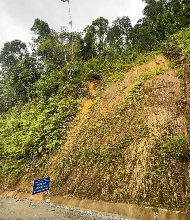
Currently, the Quang Nam Traffic Infrastructure Management Center has installed landslide warning signs at both ends of the landslide section and directed Dong Phong Construction and Consulting Joint Stock Company (the unit managing and maintaining DT606 route) to arrange forces to warn and regulate traffic.
However, due to the unpredictability of when a landslide will occur, there is a risk of insecurity for people and vehicles passing through this location.
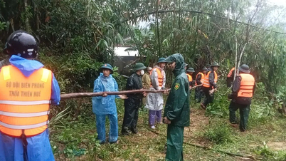
To ensure safety for people and vehicles traveling on Highway 606, the authorities have issued a document requesting the People's Committees of Tay Giang and Hung Son communes to coordinate and support in traffic regulation.
At the same time, increase widespread information about landslide risks so that people can grasp, proactively prevent, and ensure safety when traveling through this route.
Source: https://baodanang.vn/nguy-co-cat-duong-tuyen-dt606-so-xay-dung-thanh-pho-da-nang-canh-bao-khan-3306723.html


Comment (0)