
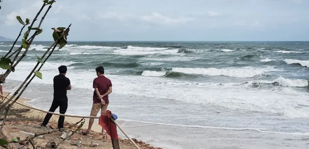
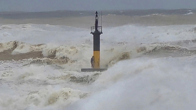
According to the National Center for Hydro-Meteorological Forecasting, at 9:00 a.m. on September 27, the center of storm Bualoi was at about 14.4 degrees North latitude - 115.1 degrees East longitude, about 400km East Southeast of Hoang Sa archipelago. The strongest wind is level 11-12, gusting to level 15; the storm continues to move in the West Northwest direction at a speed of about 35km/hour.
In Gia Lai :
On September 27, the Department of Agriculture and Environment of Gia Lai province issued an urgent notice, calling on fishing boats to quickly leave the danger zone.
According to the Provincial Steering Committee for Natural Disaster Prevention and Control, as of 6 a.m. the same day, there were 141 fishing boats of local fishermen in the storm-affected area, of which 42 boats were in Hoai Nhon Dong and 40 boats were in Hoai Nhon Bac.
")
The Provincial Steering Committee for Disaster Prevention and Search and Rescue requested the Provincial Military Command and People's Committees of coastal localities to urgently call on and guide fishermen and their families to grasp information, proactively steer boats out of dangerous areas, and find safe anchorages.
In a quick exchange with SGGP Newspaper reporters the same morning (September 27), Mr. Nguyen Van Hiep, Chairman of Hoai Nhon Dong Ward People's Committee, said that the locality is coordinating with the seaport border guards to contact ship owners through all information channels, requesting them to urgently leave the area directly affected by the storm.
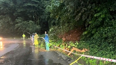
In Quang Tri :
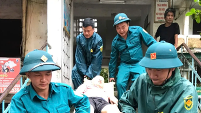
On the same morning, the Provincial Civil Defense Command issued a quick report No. 2, activating the entire storm response system. The Provincial People's Committee also issued an urgent telegram, 78/78 communes and wards established a Disaster Prevention and Control Command Committee. All tourists on Con Co Island were brought safely to the mainland.
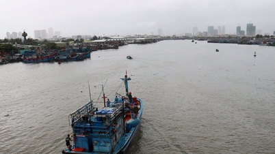
By 5 a.m. the same day, out of a total of 8,577 fishing boats/23,232 workers that had taken shelter from the storm, 145 boats/810 fishermen were still operating at sea.
In the past 6 hours, the province also recorded many places with heavy rain of over 100mm, especially Vinh Kim (Cua Tung) with 115.4mm. In addition, the whole province has 152 points at risk of landslides, 128 points of riverbank landslides, 10 points of coastal landslides; many national highways, provincial roads and urban residential areas are at risk of deep flooding and isolation.
In addition, the province currently has 1,349 hectares of unharvested summer-autumn rice, concentrated in the mountainous areas of Huong Hoa, Dakrong and some delta areas. In addition, the total unharvested aquaculture area is more than 6,640 hectares and 2,489 cages.

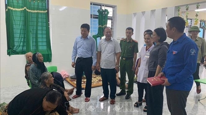
The government has directed localities to urgently take measures to protect production and minimize damage.
Quang Tri is putting the entire political system on the highest alert. People are advised to closely monitor storm bulletins, proactively evacuate when ordered, and absolutely not be subjective.
Coastal border guards are calling and guiding ships to anchor safely to avoid storm No. 10.

Source: https://www.sggp.org.vn/nhieu-dia-phuong-khan-truong-ung-pho-bao-so-10-post814992.html

![[Photo] National Assembly Chairman Tran Thanh Man presided over the welcoming ceremony for Chairman of the State Duma of the Russian Federation Vyacheslav Volodin](https://vphoto.vietnam.vn/thumb/1200x675/vietnam/resource/IMAGE/2025/9/28/889b54ac5cd440099ddc618c99663612)
![[Photo] High-ranking delegation of the Russian State Duma visits President Ho Chi Minh's Mausoleum](https://vphoto.vietnam.vn/thumb/1200x675/vietnam/resource/IMAGE/2025/9/28/c6dfd505d79b460a93752e48882e8f7e)
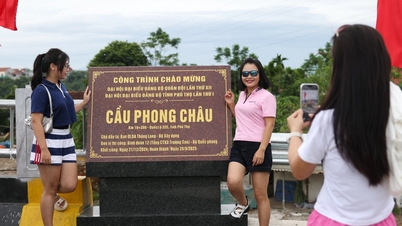
![[Photo] Prime Minister Pham Minh Chinh attends the inauguration ceremony of the new Phong Chau bridge](https://vphoto.vietnam.vn/thumb/1200x675/vietnam/resource/IMAGE/2025/9/28/09081d0cd2df4735b3328625b5d782af)


![[Photo] National Assembly Chairman Tran Thanh Man attends the inauguration ceremony of the Memorial Site of National Assembly Standing Committee Chairman Bui Bang Doan](https://vphoto.vietnam.vn/thumb/1200x675/vietnam/resource/IMAGE/2025/9/28/6feba23492d14b03b05445dd9f1dba88)


Comment (0)