
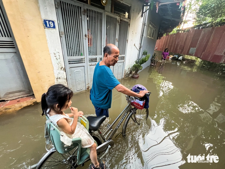
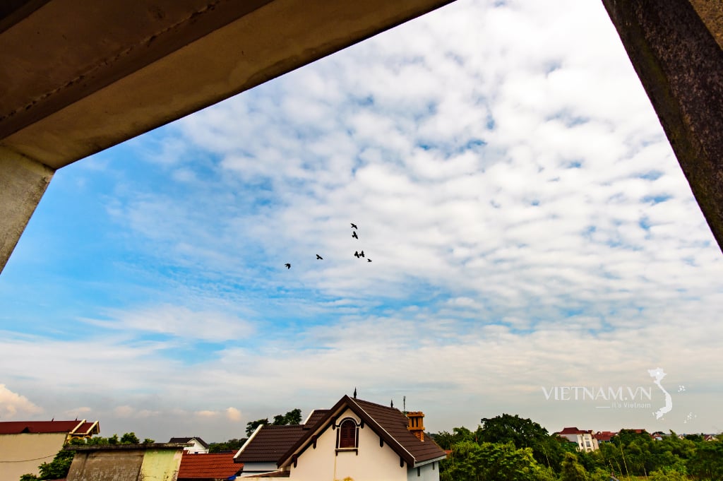
In the Mieu Nha area, on the afternoon of October 8, the water was still deeply flooded - Photo: PHAM TUAN
On October 9, the Traffic Infrastructure Maintenance Board ( Hanoi Department of Construction) reported on the situation of handling and overcoming incidents caused by storm No. 11 (storm Matmo) until 8:00 a.m.
Accordingly, in the morning of the same day, Hanoi still had 23 flooded locations due to heavy rain after storm No. 11. Of these, 14 flooded locations were still accessible; 9 locations were deeply flooded and impassable.
Specifically, 1 flooded point is 10cm or less; 4 flooded points are from 10cm to 20cm; 6 flooded points are from 20cm to 30cm; 12 flooded locations are greater than 30cm.
9 flooded areas where vehicles cannot move include:
- Road 423 (Trung Vo bridge, km3+164): Road surface flooded 40cm deep.
- Road 421B (km11+300: Dong Yen bridge): Road surface is flooded 30cm deep.
- Thang Long Boulevard (km8+200): Road surface is flooded 40cm deep, vehicles cannot move.
- Road 423 (bridge 72 II, km8+400): Road surface is flooded 30cm deep.
- Mieu Nha Street (both sides of Nga Bridge): Road surface is flooded 60cm deep.
- Road 35 (section km0+350): Road surface is flooded about 80cm deep.
- Road 16 (km2 section): Road surface is flooded about 50cm deep.
- Nhue River left dike residential underpass (km4+944 Thang Long Boulevard service road): Road surface flooded 60cm deep.
- Hong Ky - Bac Son Road (Cau Chien section): Road surface is flooded 1m deep.
According to the Maintenance Board, the unit has directed road management contractors to continuously monitor, assign people to be on duty to guide traffic flow and install warning signs at flooded areas to guide people to move and travel conveniently.
Source: https://tuoitre.vn/sau-3-ngay-mua-lon-ha-noi-con-9-diem-ngap-sau-co-noi-ngap-den-1m-20251009092616491.htm


![[Photo] Prime Minister Pham Minh Chinh chairs the Conference to deploy the National Target Program on Drug Prevention and Control until 2030](https://vphoto.vietnam.vn/thumb/1200x675/vietnam/resource/IMAGE/2025/10/09/1759990393779_dsc-0495-jpg.webp)
![[Photo] Prime Minister Pham Minh Chinh chairs a meeting of the Government Standing Committee on overcoming the consequences of natural disasters after storm No. 11](https://vphoto.vietnam.vn/thumb/1200x675/vietnam/resource/IMAGE/2025/10/09/1759997894015_dsc-0591-jpg.webp)


Comment (0)