
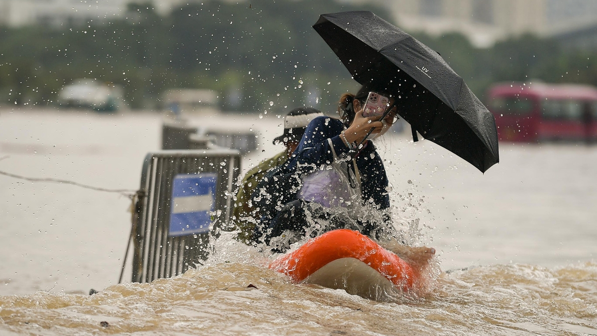
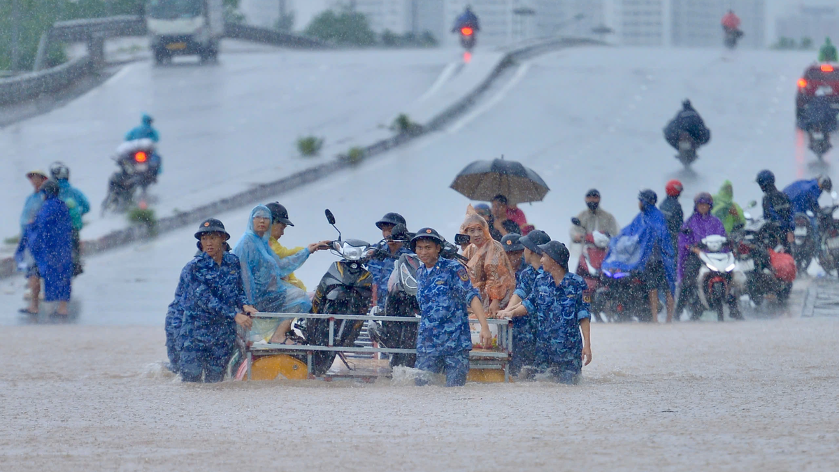
Specifically, the water level recorded at 1:00 p.m. on October 7 on the Red River at Lao Cai station was 79.50 m (0.50 m below level 1). At 3:00 p.m. on October 7, the water level was recorded at 80.00 m (level 1); at 5:00 p.m. it was 80.28 m (0.28 m above level 1).
")
 was 80.28m (on BĐ1: 0.28m)")
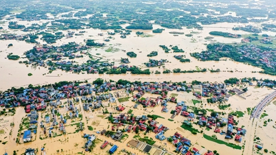
The provincial hydrometeorological station warns: From tonight (October 7) to October 8, there is a possibility of a flood on rivers and streams in the province, with a flood amplitude of 2 - 5m. During this flood, the peak water level on rivers and streams is likely to be at level BĐ1 - BĐ2, in some places above BĐ2. The high water level of the river can cause flooding in low-lying areas along the river.
 to October 8, there is a possibility of a flood occurring on rivers and streams in the province, with a flood amplitude of 2-5m.")
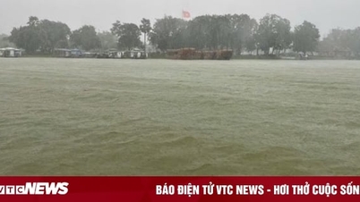
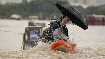
In addition, due to the impact of heavy rain with high intensity, there is a high risk of flooding in some communes and wards : Lao Cai Ward, Cam Duong Ward, Muong Khuong Commune, Luc Yen Commune, Muong Lai Commune, Phuc Loi Commune, Tan Linh Commune, Yen Binh Commune, Yen Bai Ward, Au Lau Ward, Nam Cuong Ward, Van Phu Ward, Tran Yen Commune with flooding depth from 0.3 - 0.5m, in some places over 0.6m; flooding time from 30 - 60 minutes, in some places flooding time is longer.
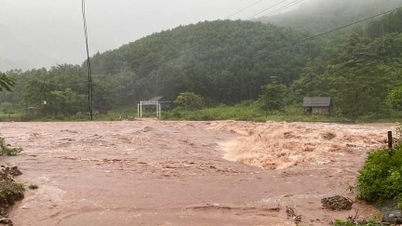
There is a high risk of flash floods on small rivers and streams, landslides on steep hillsides and road slopes; and land subsidence in areas with poor soil structure in the province. Localities with suspension bridges and culverts on small rivers and streams need to warn people and proactively deploy response solutions to ensure the safety of people's lives and property.
Source: https://baolaocai.vn/canh-bao-lu-tren-song-hong-tai-tram-lao-cai-post883915.html

![[Photo] Prime Minister Pham Minh Chinh chairs the 16th meeting of the National Steering Committee on combating illegal fishing.](https://vphoto.vietnam.vn/thumb/1200x675/vietnam/resource/IMAGE/2025/10/07/1759848378556_dsc-9253-jpg.webp)


![[Photo] Super harvest moon shines brightly on Mid-Autumn Festival night around the world](https://vphoto.vietnam.vn/thumb/1200x675/vietnam/resource/IMAGE/2025/10/07/1759816565798_1759814567021-jpg.webp)


Comment (0)