

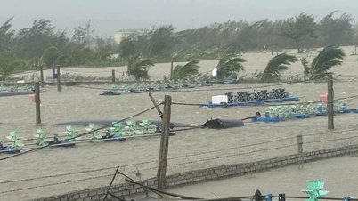
On September 18, the Southern Hydrometeorological Station said that in the past 24 hours, Ho Chi Minh City had showers in many places, scattered moderate rain and thunderstorms.
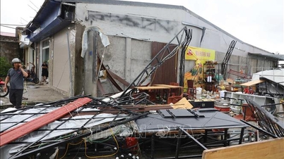
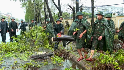
It is forecasted that in the next 2 days, Ho Chi Minh City will have moderate rain, heavy rain and thunderstorms, locally heavy rain; rainfall from 40-90mm, some places over 90mm. The impact of heavy rain causes flooding in low-lying areas, urban areas, industrial areas, riverside areas and canals.
On the same day, the Southern Hydrometeorological Station issued a warning bulletin on high tides in the Saigon River area. Accordingly, in the past 24 hours, the highest water level of the day at most stations on the Saigon River rose rapidly, but remained low.
It is forecasted that in the next 5 days, water levels at most stations on the Saigon River system will rise rapidly following the high tide cycle in early August of the lunar calendar. The highest peak tide is likely to appear from September 22 to 24 (August 1 to 3 of the lunar calendar).
At Phu An station (Saigon River) and Nha Be station (Dong Dien canal), the water level may reach approximately or below alert level 3 by 0.05m; Thu Dau Mot station (Saigon River) may reach approximately or above alert level 3 by 0.05-0.10m.
This is also a high tide, so be careful of the risk of flooding in low-lying areas and riverside areas.
Source: https://www.sggp.org.vn/2-ngay-toi-tphcm-co-mua-to-va-trieu-cuong-cao-post813573.html
![[Photo] General Secretary To Lam receives US Ambassador to Vietnam Marc Knapper](https://vphoto.vietnam.vn/thumb/1200x675/vietnam/resource/IMAGE/2025/9/29/c8fd0761aa184da7814aee57d87c49b3)
![[Photo] General Secretary To Lam attends the ceremony to celebrate the 80th anniversary of the post and telecommunications sector and the 66th anniversary of the science and technology sector.](https://vphoto.vietnam.vn/thumb/1200x675/vietnam/resource/IMAGE/2025/9/29/8e86b39b8fe44121a2b14a031f4cef46)
![[Photo] Many streets in Hanoi were flooded due to the effects of storm Bualoi](https://vphoto.vietnam.vn/thumb/1200x675/vietnam/resource/IMAGE/2025/9/29/18b658aa0fa2495c927ade4bbe0096df)
![[Photo] National Assembly Chairman Tran Thanh Man chairs the 8th Conference of full-time National Assembly deputies](https://vphoto.vietnam.vn/thumb/1200x675/vietnam/resource/IMAGE/2025/9/29/2c21459bc38d44ffaacd679ab9a0477c)

![[Photo] General Secretary To Lam chairs the meeting of the Central Steering Committee on preventing and combating corruption, waste and negativity](https://vphoto.vietnam.vn/thumb/1200x675/vietnam/resource/IMAGE/2025/9/29/fb2a8712315d4213a16322588c57b975)


Comment (0)