

Vinh Long coastal road is designed to be 22.5m wide with 4 lanes for motor vehicles and 2 lanes for non-motorized vehicles - Illustration: AI
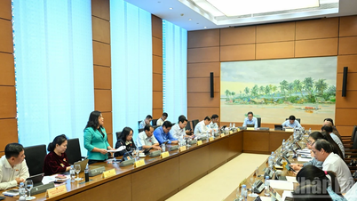
The coastal road project connecting Ben Tre - Tien Giang - Tra Vinh (old) is being implemented in the communes of Bao Thanh, Tan Thuy, Thanh Hai and An Qui (Vinh Long province). The project aims to complete the coastal traffic system, attract investment for socio-economic development, reduce the load on National Highway 60, and solve traffic black spots in the area of Rach Mieu Bridge and Ham Luong Bridge.
The project covers a range from km21+800 (the end point of Ba Lai 8 bridge project) to km47 (the beginning point of Co Chien 2 bridge project) with a total length of about 25.2km.
The road section is about 20.6km long, the scale of a level III plain road, 22.5m wide with 4 lanes for motor vehicles and 2 lanes for rudimentary vehicles. The bridge section is about 4.6km long (Ham Luong 2 bridge is about 3.2km long and has 7 small bridges); the bridges are all 22.5m wide with 4 lanes for motor vehicles and 2 lanes for rudimentary vehicles.
The total preliminary investment of the project is about 7,904 billion VND. Of which, the loan capital from the Korean Economic Development Cooperation Fund (EDCF) is about 211.214 million USD (equivalent to about 5,573 billion VND), and the counterpart capital is about 2,330 billion VND.
The project implementation period is expected from 2026 to 2030.
The Ministry of Construction said that according to Decision No. 1399/QD-TTg of the Prime Minister approving the planning of Ben Tre province (now Vinh Long province) for the period of 2021-2030, with a vision to 2050, the coastal road connecting Ben Tre - Tien Giang - Tra Vinh (old) has been identified as a grade III road with 4-6 lanes. Thus, the implementation of the project is basically consistent with the national sector planning and provincial planning.
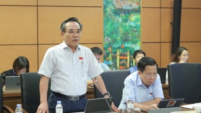
However, currently, the planning of Vinh Long province (after the arrangement of provincial administrative units) has not been established, so the Ministry of Construction requests the People's Committee of Vinh Long province to direct units to review and update contents related to the coastal route through the province when establishing the planning of Vinh Long province.
The Ministry of Construction said that according to the opinion of the Vietnam Maritime Administration, Ham Luong 2 bridge with the span diagram according to the preliminary design plan ensures navigation clearance.
In the next step, the Ministry proposed that the People's Committee of Vinh Long province direct the units to continue reviewing and determining the appropriate location of the main bridge based on the survey results and the scope of the waterway; at the same time, it is necessary to calculate the hydrological conditions to select the length of the approach span, ensuring flood drainage conditions as well as reducing the height of the road embankment at the bridgehead.
Because many areas in the Mekong Delta have weak geology, solutions are needed, while the source of filling materials is limited, the Ministry of Construction recommends that it is necessary to carefully review and evaluate the ability to supply materials for the project to ensure feasibility.
Source: https://tuoitre.vn/bo-xay-dung-de-nghi-vinh-long-ra-soat-du-an-duong-ven-bien-7-904-ti-dong-20251021162020492.htm
![[Photo] Da Nang residents "hunt for photos" of big waves at the mouth of the Han River](https://vphoto.vietnam.vn/thumb/1200x675/vietnam/resource/IMAGE/2025/10/21/1761043632309_ndo_br_11-jpg.webp)


![[Photo] Prime Minister Pham Minh Chinh meets with Speaker of the Hungarian National Assembly Kover Laszlo](https://vphoto.vietnam.vn/thumb/1200x675/vietnam/resource/IMAGE/2025/10/20/1760970413415_dsc-8111-jpg.webp)

![[Photo] Prime Minister Pham Minh Chinh received Mr. Yamamoto Ichita, Governor of Gunma Province (Japan)](https://vphoto.vietnam.vn/thumb/1200x675/vietnam/resource/IMAGE/2025/10/21/1761032833411_dsc-8867-jpg.webp)


Comment (0)