
From the night of June 29 to July 3, the low pressure trough with its axis through the North Central region combined with the wind convergence at high altitude gradually strengthened, causing scattered showers and thunderstorms in the Hai Duong area, locally heavy rain, and southeast winds of level 2-3.
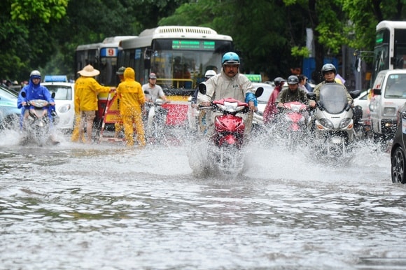
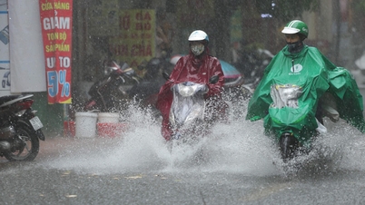
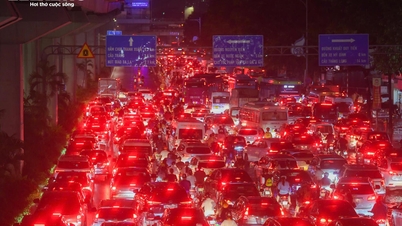
Rainfall mainly occurs at noon, afternoon and evening. High intensity in a short period of time can overload the drainage system in urban areas, especially in Hai Duong City, causing flooding in residential areas and traffic congestion.
The rain may be accompanied by tornadoes, lightning, hail and strong winds, causing trees to fall, damage houses, traffic works, infrastructure, and risk affecting human lives.
From July 4 to 8, the low pressure trough gradually fades, the upper air convergence weakens, the Hai Duong area has changing clouds, no rain at night, sunny during the day, southeast wind level 2, highest temperature 34 degrees Celsius.
PROGRESSSource: https://baohaiduong.vn/canh-bao-mua-lon-gay-ngap-ung-o-khu-vuc-do-thi-hai-duong-415261.html


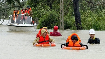


![[Photo] Hanoi morning of October 1: Prolonged flooding, people wade to work](https://vphoto.vietnam.vn/thumb/1200x675/vietnam/resource/IMAGE/2025/10/1/189be28938e3493fa26b2938efa2059e)
![[Photo] President Luong Cuong receives President of the Cuban National Assembly Esteban Lazo Hernandez](https://vphoto.vietnam.vn/thumb/1200x675/vietnam/resource/IMAGE/2025/9/30/4d38932911c24f6ea1936252bd5427fa)
![[Photo] Panorama of the cable-stayed bridge, the final bottleneck of the Ben Luc-Long Thanh expressway](https://vphoto.vietnam.vn/thumb/1200x675/vietnam/resource/IMAGE/2025/9/30/391fdf21025541d6b2f092e49a17243f)
![[Photo] The 1st Congress of Phu Tho Provincial Party Committee, term 2025-2030](https://vphoto.vietnam.vn/thumb/1200x675/vietnam/resource/IMAGE/2025/9/30/1507da06216649bba8a1ce6251816820)


Comment (0)