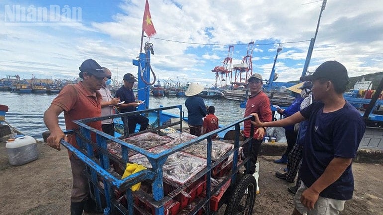
Faced with the complex developments and unusually fast movement of storm Bualoi, the Gia Lai Province Civil Defense Command has just issued an urgent document calling on 141 fishing boats operating in the dangerous area to quickly move out of the storm's affected area, ensuring the safety of fishermen's lives and property.
According to updated information from the National Center for Hydro-Meteorological Forecasting, at 4:00 a.m. on September 27, 2025, the center of storm Bualoi was at about 14.0 degrees North latitude; 116.6 degrees East longitude, about 580km East Southeast of Hoang Sa special zone. The storm has the strongest wind speed of level 11-12 (from 103km/h-133km/h), gusting to level 15. In particular, the storm is moving in the West-Northwest direction at a speed of about 35km/h-40km/h, nearly double the average speed of normal storms and tends to get stronger.
According to a quick report from the Gia Lai Fisheries Sub-Department at 6:00 a.m. the same day, there are currently 141 fishing boats belonging to coastal communes and wards such as Hoai Nhon, Hoai Nhon Dong, Hoai Nhon Tay, Hoai Nhon Bac, Quy Nhon, Cat Tien, Tam Quan, De Gi, Phu My Dong in the storm's danger zone (from 11.5°N-18.5°N north latitude; east of longitude 108.0°E).

Faced with that situation, the Gia Lai Provincial Civil Defense Command requested the Provincial Military Command and the People's Committees of the above localities to urgently deploy measures to call, notify and guide ships to move out of the danger zone.
The list attached to the document shows that many fishing vessels are currently very close to the storm's path, some of which are only about 500 nautical miles from the storm's center. In addition, the list also includes dozens of vessels operating at dangerous coordinates, stretching from longitude 109°E to more than 116°E, mostly in Hoai Nhon Dong and Hoai Nhon Bac wards - the two localities with the largest number of fishing vessels operating offshore in Gia Lai province.
Source: https://baolamdong.vn/gia-lai-khan-truong-keu-goi-141-tau-thuyen-di-chuyen-khoi-vung-nguy-hiem-cua-bao-bualoi-393407.html


![[Photo] Soldiers guard the fire and protect the forest](https://vphoto.vietnam.vn/thumb/1200x675/vietnam/resource/IMAGE/2025/9/27/7cab6a2afcf543558a98f4d87e9aaf95)
![[Photo] Prime Minister Pham Minh Chinh attends the 1st Hai Phong City Party Congress](https://vphoto.vietnam.vn/thumb/1200x675/vietnam/resource/IMAGE/2025/9/27/676f179ddf8c4b4c84b4cfc8f28a9550)


Comment (0)