
TPO - The hydrometeorological agency said that the southwest monsoon is currently operating at a stable intensity and will continue to cause rain in the Southern region in the coming days.
According to the National Center for Hydro-Meteorological Forecasting, last night and early this morning (June 10), the Southern region had showers and thunderstorms, with some heavy rain.
It is forecasted that on June 10, the Southern region will have scattered showers and thunderstorms, with scattered showers and thunderstorms in the afternoon and evening, and locally heavy rain with rainfall of 15 - 30mm, and over 70mm in some places. The lowest temperature will be from 24 - 27 degrees Celsius, the highest from 31 - 34 degrees Celsius.
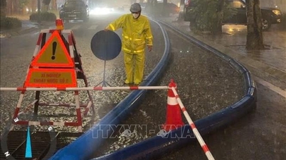
Thunderstorms may produce tornadoes, lightning, hail, and strong gusts of wind. Localized heavy rain may cause flash floods in small rivers and streams, landslides on steep slopes, and flooding in low-lying areas. Beware of short-term heavy rain causing flooding in urban areas.
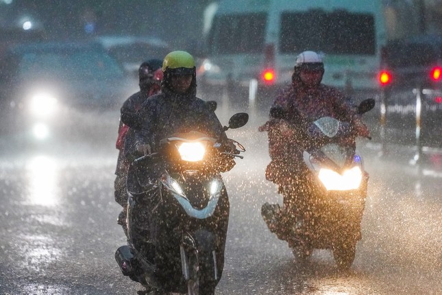 |
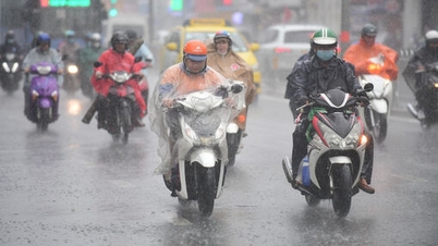
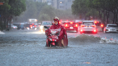
Thunderstorms increase in the South. (Illustration photo: Pham Nguyen) |
Forecasting the weather situation in Ho Chi Minh City in the middle of June, the Southern Hydrometeorological Station said that the disturbance area off the coast of the South is currently moving inland, weakening and dissipating. Above, the subtropical high pressure with an axis over the Central region is weak. The Southwest monsoon is operating at an average intensity.
Since June 11, the hot low pressure in the West has developed strongly again. The low pressure trough with an axis passing through the Northern region tends to become more active.
Based on the above main weather patterns, the Southern Hydrometeorological Station forecasts that Ho Chi Minh City and the Southern region will continue to have thunderstorms in the coming days. Rain will mainly appear in the afternoon and evening.
In Ho Chi Minh City, from June 10 to 19, some areas have a 70-75% chance of rain. Thunderstorms may include tornadoes, lightning, hail, and strong gusts of wind. Beware of heavy rain causing localized flooding.
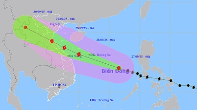
According to the National Center for Hydro-Meteorological Forecasting, currently (morning of June 10), in the central and southern East Sea (including the waters of the Truong Sa archipelago), the sea area from Da Nang to Ca Mau is having scattered showers and thunderstorms.
Forecast for the day and night of June 10, the sea area from Da Nang to Ca Mau; Ca Mau to Kien Giang , the Gulf of Thailand, the central and southern East Sea (including the sea area of Truong Sa archipelago) will have scattered showers and thunderstorms. During thunderstorms, there is a possibility of tornadoes and strong gusts of wind of level 6 - 7, beware that wave heights may increase to over 2m. All vessels operating in the above areas are at high risk of being affected by tornadoes, strong gusts of wind and big waves.


Source: https://tienphong.vn/mua-dong-gia-tang-tai-nam-bo-trong-tuan-moi-post1644927.tpo


Comment (0)