

The path of storm BUALOI on the afternoon of September 25
At 1 p.m. on September 25, the low pressure area was located at about 21.5 degrees North latitude; 107.8 degrees East longitude. The strongest wind in the center of the low pressure area was below level 6 (below 39 km/h).
It is forecasted that in the next 12 hours, the low pressure area will continue to move mainly westward, weakening and gradually dissipating. The meteorological agency said that this is the last news about storm number 9.
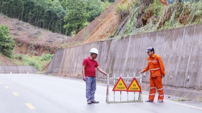
Regarding the flood situation caused by the storm's circulation, from the afternoon of September 25 to the end of the night of September 26, in the Northern region, Thanh Hoa and Nghe An , there will be heavy rain, some places will have very heavy rain with common rainfall of 80-180 mm, locally over 300 mm; there is a risk of urban flooding.
From September 25 to September 27, there is a possibility of a flood on rivers in the northern region, Thanh Hoa and Nghe An. The flood peak on Thao River, Lo River, upstream Thai Binh River, Hoang Long River, Buoi River, upstream Ma River is at alert level 1-2, some rivers are above alert level 2. Heavy rain is likely to cause flooding in low-lying areas, flash floods on small rivers and streams and landslides on steep slopes.
On the afternoon of September 25, the National Center for Hydro-Meteorological Forecasting issued a storm warning near the East Sea.
At 1 p.m. on September 25, the center of storm BUALOI was at about 11.1 degrees North latitude - 128.1 degrees East longitude, in the sea east of the Philippines. Strongest wind: level 12 (118-133 km/h), gusting to level 15. Moving west-northwest, speed 15-20 km/h.
Forecast: Around the night of September 26, storm BUALOI will enter the eastern sea area of the Central East Sea, becoming storm number 10 in 2025. From the evening of September 26, the eastern sea area of the North and Central East Sea will have winds of level 6-7, then increase to level 8-9.
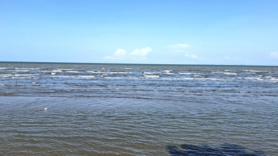
Area near storm center: level 10-12, gust level 15, waves 5-7m high, rough sea.
Vessels operating in danger zones are susceptible to storms, whirlwinds, strong winds and large waves.
Thu Cuc
Source: https://baochinhphu.vn/bao-ragasa-suy-yeu-thanh-atnd-bao-bualoi-gan-bien-dong-102250925160034992.htm

![[Photo] Prime Minister Pham Minh Chinh attends the groundbreaking ceremony of two key projects in Hai Phong city](https://vphoto.vietnam.vn/thumb/1200x675/vietnam/resource/IMAGE/2025/9/27/6adba56d5d94403093a074ac6496ec9d)


Comment (0)