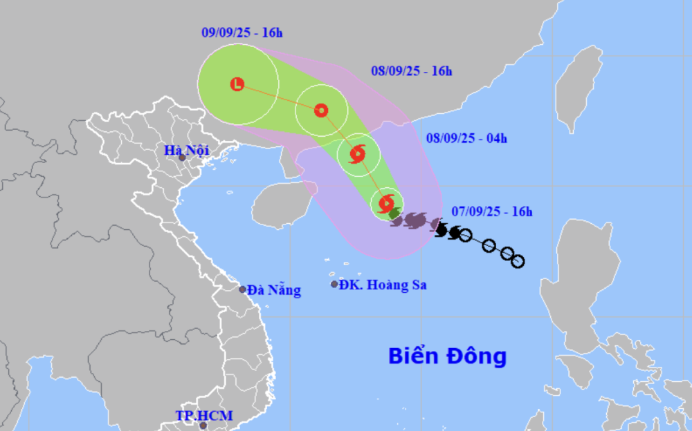
Forecast of location and direction of storm No. 7 at 4:00 p.m. on September 7 (Photo: NCHMF)
According to the National Center for Hydro-Meteorological Forecasting, at 4:00 p.m. on September 7, the center of storm No. 7 was in the northern waters of the northern East Sea. The strongest wind near the center of the storm was level 9-10 (75-102 km/h), gusting to level 13.
It is forecasted that in the next 12 hours, storm No. 7 will move northwest at a speed of about 20km/h, and its intensity will likely increase.
At 4am tomorrow morning, the storm center will be about 180km southwest of Macau (China), with storm intensity at level 10 (89-102km/h), gusting to level 13.
From tomorrow morning to afternoon, storm No. 7 will make landfall in Guangdong province (China) and gradually weaken into a tropical depression, then a low pressure area over Guangxi province (China).
Due to the influence of the storm, in the northern sea area of the North East Sea, there are strong winds of level 7-8, near the storm center, strong winds of level 9-10, gusts of level 13, waves 4-6m high, very rough seas.
Vessels operating in the above mentioned dangerous areas are susceptible to the impact of storms, whirlwinds, strong winds and large waves.
The meteorological agency warned that although not directly affected by the storm's circulation, areas on the far edge of the storm's circulation such as the Gulf of Tonkin and the eastern coastal areas of the North may experience thunderstorms, whirlwinds and strong gusts of wind.
This afternoon, the National Center for Hydro-Meteorological Forecasting issued a warning of heavy rain due to the influence of circulation after storm No. 7 in the North.
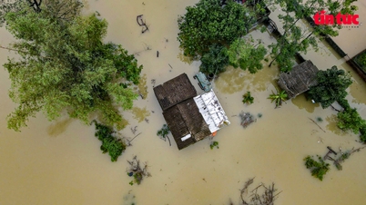
Specifically, it is forecasted that from September 9 to the night of September 10, in the mountainous and midland areas of the North, there is a possibility of widespread heavy rain with common rainfall of 70-150mm, locally over 300mm in some places.
Warning of the risk of heavy rain over 100mm in 3 hours causing flash floods, landslides in mountainous areas and flooding in low-lying areas and urban areas.
To proactively respond to heavy rain, on the afternoon of September 7, the Ministry of Agriculture and Environment issued an official dispatch requesting the People's Committees of the midland and mountainous provinces of the North to deploy shock forces to inspect and review residential areas along rivers, streams, low-lying areas, at risk of flooding, flash floods, landslides and organize the relocation and evacuation of people to safe places./.
According to Tuoi Tre Newspaper
Source: https://tuoitre.vn/bao-so-7-manh-len-cap-10-mien-bac-co-noi-mua-tren-300mm-20250907174215451.htm
Source: https://baolongan.vn/bao-so-7-manh-len-cap-10-mien-bac-co-noi-mua-tren-300mm-a202094.html


























Comment (0)