
Typhoon Man-yi has entered the East Sea, becoming the ninth typhoon this year. Due to interaction with cold air, the storm has weakened to level 11-12 and continues to weaken over the central central sea.
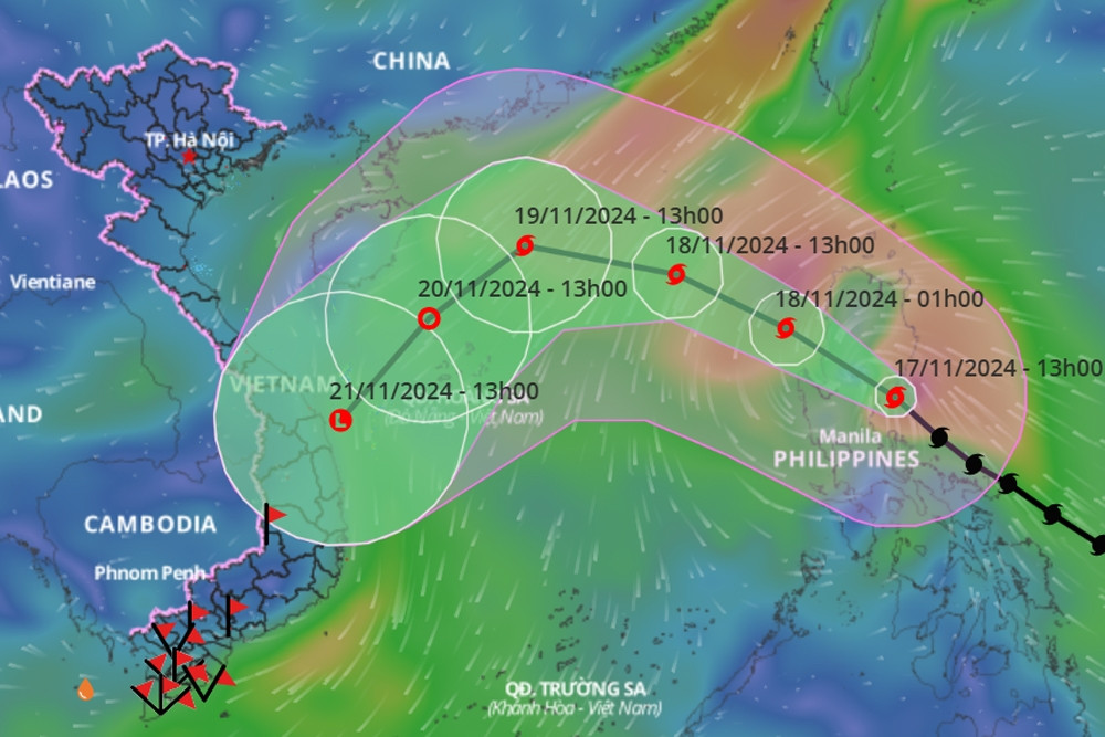
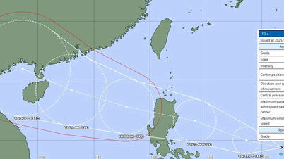
According to the National Center for Hydro-Meteorological Forecasting, as of 4:00 a.m. this morning (November 18), the center of storm No. 9 Man-yi was located in the eastern sea of the North East Sea. The strongest wind near the center of the storm was level 11-12 (103-133 km/h), gusting to level 15. Moving northwest at a speed of about 25 km/h.
Thus, compared to the time when entering the East Sea, the intensity of storm No. 9 has decreased by nearly 2 levels.
In the next 24 hours, the storm will change direction and move West Northwest at a speed of 20km/h and continue to weaken due to interaction with cold air.
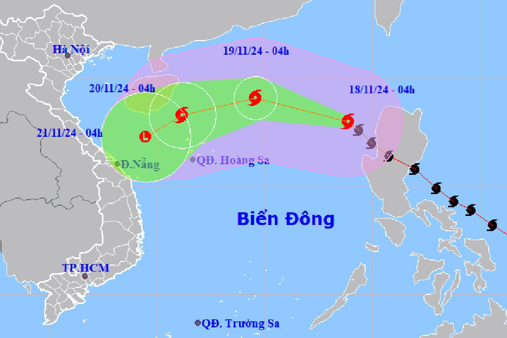
At 4am tomorrow morning (November 19), the center of storm No. 9 is located in the North East Sea, about 370km northeast of Hoang Sa archipelago, the storm is currently at level 10, gusting to level 12.
During the next 24 to 48 hours, the storm will move west-southwest, then change direction to southwest and continue to weaken further.
At 4:00 a.m. on November 20, the center of storm No. 9 was in the west of the North East Sea, about 210km northwest of Hoang Sa archipelago; the storm's intensity was now level 8 (62-74km/h), gusting to level 10.
During the next 24 hours, the storm continued to move southwest at about 10km/h, gradually weakening into a tropical depression, then a low pressure area. At 4am on November 21, the center of the low pressure was over the sea off the Central Central region.
With current forecasts, storm No. 9 is unlikely to make landfall and cause strong winds on mainland Vietnam.
However, due to the influence of storm No. 9 Man-yi, the weather in the eastern sea area of the North East Sea has strong winds of level 8-9, near the eye of the storm level 10-12, gusts of level 15, waves 3-5m high, near the eye of the storm 5-7m; the sea is very rough.
Warning: Vessels operating in the above mentioned dangerous areas are likely to be affected by storms, whirlwinds, strong winds and large waves.
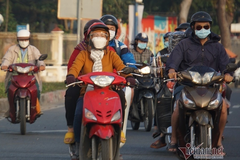
At the same time, the meteorological agency also said that the cold air mass that had been reported is still moving south. It is forecasted that today, this cold air mass will affect some places in the Northeast region of the North; then to other places in the Northeast and North Central regions, some places in the Northwest and North Central regions. Northeast wind inland level 2-3, coastal areas level 3-4.
From tonight, in the Northeast and Thanh Hoa, the weather will turn cold at night and early morning; from November 20, in the North and North Central regions, the weather will be cold at night and early morning. The lowest temperature during this cold air mass in the North and North Central regions will generally be from 18-20 degrees Celsius, in mountainous areas, some places will be below 15 degrees Celsius.
Due to the influence of disturbances in the upper easterly wind zone combined with cold air, from November 18-19, the weather in the North and Central Central regions will have rain, showers and thunderstorms in some places, with some places having heavy rain. During thunderstorms, there is a possibility of tornadoes, lightning and strong gusts of wind.
In addition, in the Gulf of Tonkin from tonight, there will be strong northeast winds at level 6, gusting to level 7-8; rough seas; waves 2-3.5m high. In the North East Sea area, the northeast winds (including the waters of the Hoang Sa archipelago) will be strong at level 6-7, gusting to level 8-9; rough seas; waves 2-4m high.
New cold air mass has the strongest impact on Ho Chi Minh City's weather since the beginning of the season.
Super typhoon Man-yi may enter the East Sea on November 18, downgraded by 4 levels
Source: https://vietnamnet.vn/bao-so-9-vao-bien-dong-gap-khong-khi-lanh-suy-yeu-tren-bien-trung-trung-bo-2342963.html


![[Photo] Binh Trieu 1 Bridge has been completed, raised by 1.1m, and will open to traffic at the end of November.](https://vphoto.vietnam.vn/thumb/1200x675/vietnam/resource/IMAGE/2025/10/2/a6549e2a3b5848a1ba76a1ded6141fae)


Comment (0)