
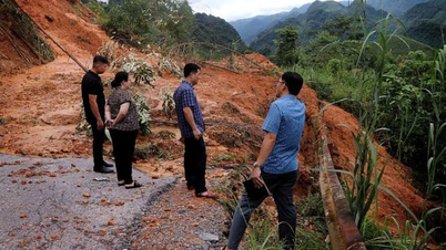
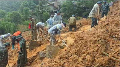
Communes and wards in the key areas with flash floods and landslides include: Khuon Lung, Quang Binh, Tan Trinh, Tien Nguyen, Ho Thau, Nam Dich, Quang Nguyen, Thong Nguyen, Yen Thanh, Bac Quang, Bach Ngoc, Ban May, Bang Hanh, Bang Lang, Binh An, Cao Bo, Con Lon, Dong Tam, Hoang Su Phi, Hung An, Lam Binh, Lien Hiep, Linh Ho, Nam Dan, Ha Giang 1 ward, Phu Linh, Po Ly Ngai, Tan Quang, Tan Tien, Thang Tin, Thuong Lam, Thuong Nong, Thuong Son, Tien Yen, Trung Thinh, Vi Xuyen, Viet Lam, Xuan Giang, Yen Hoa, An Tuong ward, Nong Tien ward.
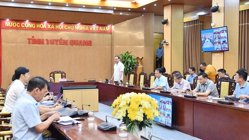
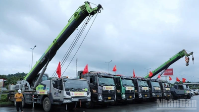
The Civil Defense Command of Tuyen Quang province requires localities in key areas to be on duty and inspect vulnerable areas; move households in dangerous areas to safe places; put up warning signs prohibiting people from entering areas at risk of landslides; and prepare vehicles, human resources, and machinery to respond to incidents if they occur.


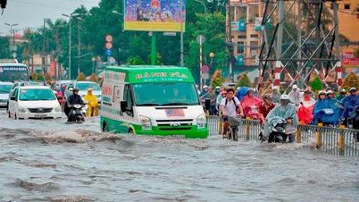
At 7:00 a.m. on October 1, the water level on the Lo River at Ha Giang station was 105.48m, 2.48m above alert level 3; at Bac Quang station it was 70.52m, 0.48m below alert level 2; Vinh Tuy station it was 47.41m, 0.41m above alert level 1; at Ham Yen station it was 33.1m, 0.1m above alert level 2; at Tuyen Quang station it was 25.07m, 0.93m below alert level 3.

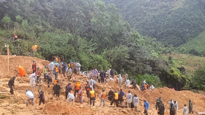
According to forecasts in the next 3-6 hours, the water level of Lo River and Gam River will continue to rise, the highest water level is at alert level 2, alert level 3, at Tuyen Quang Hydrological Station the highest water level is about 25.5m; Gam River water level changes slowly and is above alert level 3. Rain and floods are still developing abnormally, localities need to pay special attention, absolutely do not let people go into dangerous areas; urgently evacuate households in vulnerable areas to safety.
Source: https://nhandan.vn/41-xa-phuong-tai-tuyen-quang-nam-trong-vung-trong-diem-xay-ra-lu-quet-va-sat-lo-dat-post911947.html


![[Photo] Binh Trieu 1 Bridge has been completed, raised by 1.1m, and will open to traffic at the end of November.](https://vphoto.vietnam.vn/thumb/1200x675/vietnam/resource/IMAGE/2025/10/2/a6549e2a3b5848a1ba76a1ded6141fae)


Comment (0)