
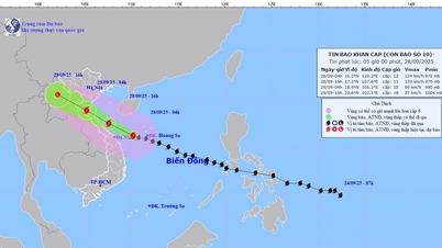
At 1 p.m. on September 21, the storm was about 490 km east-northeast of Luzon Island (Philippines) with strong winds of level 13-14, gusting to level 17; moving west-northwest at a speed of about 10-15 km/h and likely to strengthen.
At 1 p.m. on September 22, the storm was about 220 km northeast of Luzon Island (Philippines) with strong winds of level 15 - 16, gusting to level 17; moving west-northwest at a speed of about 15 - 20 km/h and continuing to strengthen.
By 1:00 p.m. on September 23, the storm was in the Northeast Sea, the North East Sea area with strong winds of level 15-16, gusting over level 17; moving in the West Northwest direction at a speed of about 20-25 km/h and entering the East Sea. The affected area is the East Sea, the North East Sea area. Disaster risk level 4.
From the next 72 to 120 hours, the storm will move mainly to the West, about 20km per hour, gradually weakening in intensity.
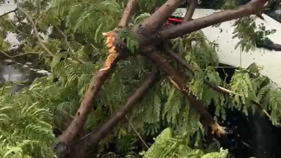
Dr. Hoang Phuc Lam, Deputy Director of the National Center for Hydro-Meteorological Forecasting, noted: Due to the influence of the storm, from the afternoon of September 22, the eastern sea area of the North East Sea will have strong winds of level 6 - 7, then increasing to level 8 - 9, gusting to level 11; from the night of September 22, it will increase to level 10 - 13, the area near the storm's eye will have levels 14 - 16, gusting to level 17, waves 4 - 8m high, the area near the storm's eye will be over 10m; the sea will be very rough.
Vessels operating in the above mentioned dangerous areas are susceptible to the impact of storms, whirlwinds, strong winds and large waves.
Source: https://baotintuc.vn/van-de-quan-tam/anh-huong-sieu-bao-ragasa-tu-dem-229-gio-manh-cap-1013-vung-gan-tam-bao-cap-1416-giat-tren-cap-17-20250920144214319.htm
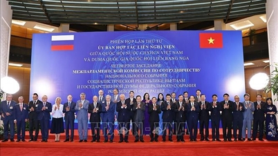
![[Photo] The 4th meeting of the Inter-Parliamentary Cooperation Committee between the National Assembly of Vietnam and the State Duma of Russia](https://vphoto.vietnam.vn/thumb/1200x675/vietnam/resource/IMAGE/2025/9/28/9f9e84a38675449aa9c08b391e153183)

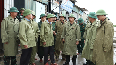
![[Photo] High-ranking delegation of the Russian State Duma visits President Ho Chi Minh's Mausoleum](https://vphoto.vietnam.vn/thumb/1200x675/vietnam/resource/IMAGE/2025/9/28/c6dfd505d79b460a93752e48882e8f7e)

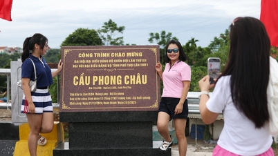
![[Photo] Joy on the new Phong Chau bridge](https://vphoto.vietnam.vn/thumb/1200x675/vietnam/resource/IMAGE/2025/9/28/b00322b29c8043fbb8b6844fdd6c78ea)
![[Photo] National Assembly Chairman Tran Thanh Man presided over the welcoming ceremony for Chairman of the State Duma of the Russian Federation Vyacheslav Volodin](https://vphoto.vietnam.vn/thumb/1200x675/vietnam/resource/IMAGE/2025/9/28/889b54ac5cd440099ddc618c99663612)


Comment (0)