
Clear but not airy
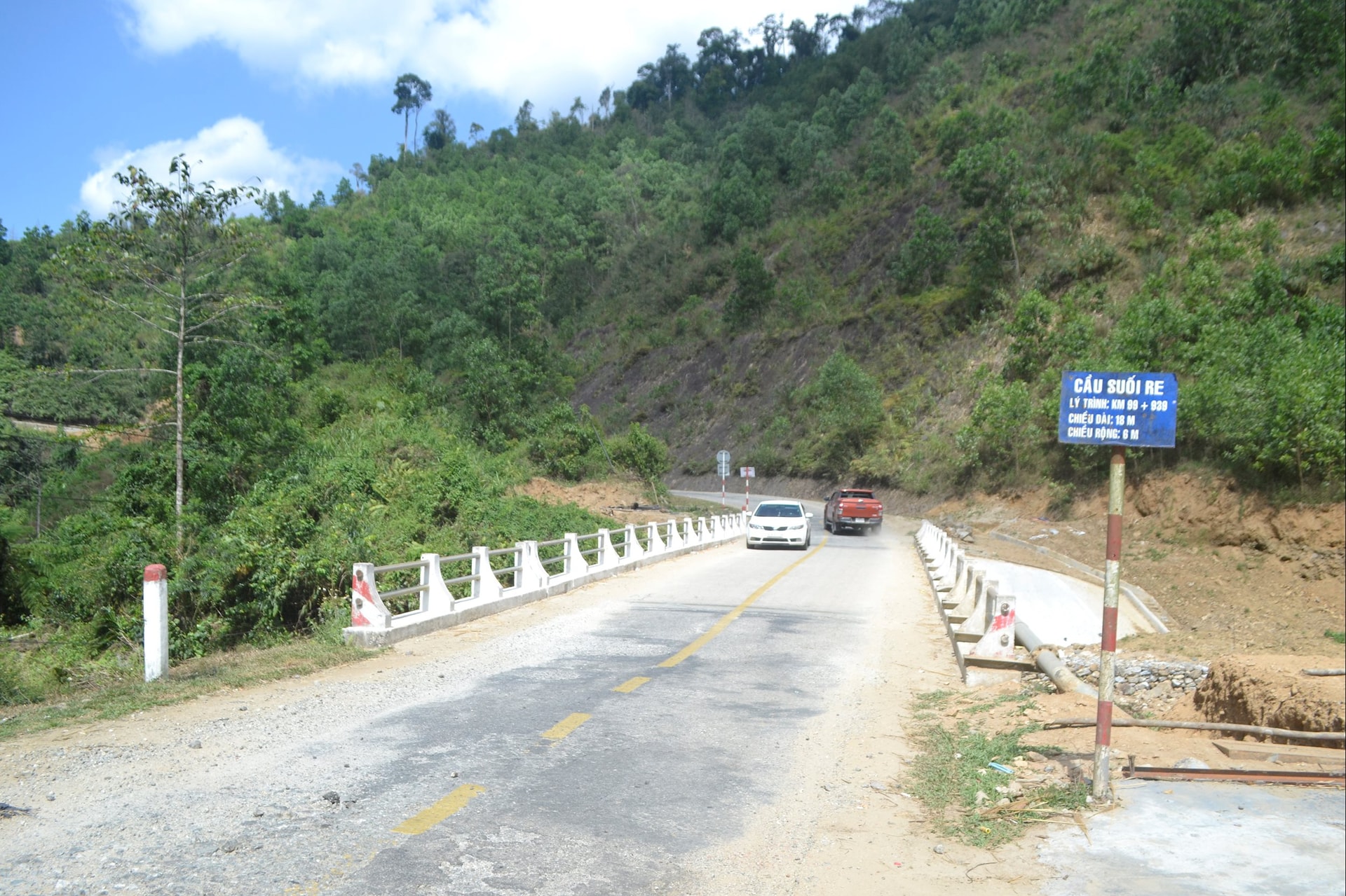
National Highway 40B in the territory of Da Nang city (new) is 147.4km long, starting from Tam Thanh beach to the border with Kon Tum province (new Quang Ngai). At this time, the section from the beginning of the route to Tien Ky bypass (old Tien Phuoc district) is temporarily stable with a number of projects invested by the Central and local governments to upgrade and expand. The section connecting from Tien Ky bypass to Tra My (old Bac Tra My district) is more than 18km long, part of the Central Region Connection project of Quang Nam province, is under construction. In addition, the Central Government annually allocates resources for the Department of Construction to periodically repair...
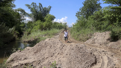
In reality, QL40B has been continuous from Da Nang to the border with Ho Chi Minh road in Quang Ngai. However, the east-west connecting route in the south of the city, through mountainous areas from Bac Tra My, to Nam Tra My district (old) is still not clear with small roads, all kinds of cross-sections left by history and many "elbow" curves that pose a high risk of traffic safety.
The localities mentioned above have a low foundation for socio -economic development, but strategic transport infrastructure has not been expanded, so investment promotion to create economic momentum has not received support from businesses because of difficult roads.
To the north of Da Nang, the east-west connecting route QL14G runs through the communes of Ba Na, Hoa Vang, Song Vang, Song Kon and Dong Giang. Mr. Le Duy Thang, Party Secretary and Chairman of the People's Council of Dong Giang commune, shared that traffic from communes, including Tay Giang district (old) to the city center is all through this vital route QL14G.
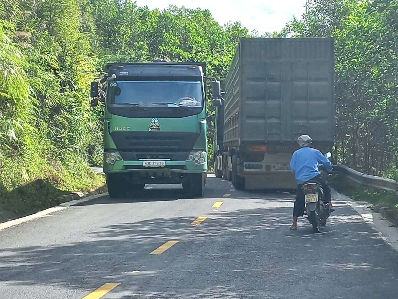
“When the district was still in its old state, we used to invite businesses to build factories to process and consume raw materials and typical specialties, but investors were not interested because the road was bad. National Highway 14G was narrow, and at winding places, just one container truck could take up most of the surface,” Mr. Thang said.
Located entirely in the old Tay Giang district, DT606 starts from the intersection of Ho Chi Minh road to the Tay Giang secondary border gate. "Originating" similar to QL40B, the appearance of DT606 today is the "merger" of provincial roads, district roads, and rural traffic.
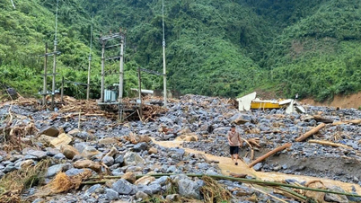
In recent years, many sections of the road have been reinforced, especially up to the border. However, looking at the whole picture, DT606, although smooth, is not yet open because the entire route has not been expanded, in which the first section to the center of Tay Giang commune (new) is a "bottleneck", often subject to landslides during the rainy and stormy season.
Investment priority needed
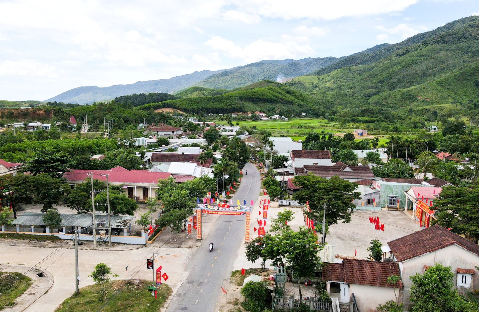
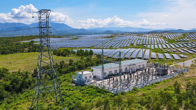
The mountainous communes of Da Nang city have great potential for developing agriculture and forestry, tourism, and processing industry. Typical examples include medicinal plants, fruit trees, eco-tourism, community cultural tourism, and rural agricultural tourism.
However, this potential has not been effectively exploited, one of the main reasons being the weak traffic infrastructure, for example the current situation of connecting routes from east to west such as National Highway 40B, National Highway 14G, Provincial Road 606, Provincial Road 611 (Que Son to old Nong Son).
Mr. Do Huu Tung, Chairman of the People's Committee of Song Kon commune, shared that voters and local officials hope that the competent authorities will pay attention to allocating investment resources to upgrade and expand National Highway 14G to mountainous communes.
Once the “blood vessels” of the economy are cleared, the commune in particular and the communes that the road passes through will have the conditions to fully exploit their existing potential. The implementation of solutions for socio-economic development, sustainable poverty reduction and improvement of people's lives will be successful.
Expressing their agreement, voters from communes in Tay Giang district (old) said that although National Highway 14G does not directly pass through the area, they still have to travel on this route to go to the plains and to the inner city. Therefore, investment in upgrading and expanding National Highway 14G is very necessary. In addition, the DT606 route also needs to be comprehensively renovated soon.
Ms. Le Thi Vinh (voter of Tra My commune) said that local people have repeatedly petitioned the authorities to allocate funds to upgrade and expand National Highway 40B to meet the needs of socio-economic development, ensure security and defense, and shorten the gap between mountainous areas and the plains.
In the development strategy for the new period, mountainous localities have proposed to open inter-regional connecting routes. Mr. Ho Quang Minh, Party Secretary and Chairman of the People's Council of Song Vang commune, said that the commune will continue to review and include important projects in the planning, prioritizing proposals to competent authorities to include them in the medium-term public investment portfolio, typically the connecting routes from Song Vang to the communes of Song Kon and Thuong Duc...
From here, mobilize people to grow fruit trees and medicinal herbs according to value chains, clean, safe, associated with the development of eco-tourism and agricultural tourism; contributing to increasing the total product value by an average of 12.29%/year.
National Highway 14D is located on the East-West Economic Corridor 2 and is in the process of implementing investment procedures for renovation and expansion.
Also located on the East-West Economic Corridor 2, the 74km long National Highway 14B is being expanded from Tuy Loan to Dai Loc commune (route km24+633 - km32+126) to 6 lanes.
The 41.9km section from Dai Loc commune to Thanh My commune currently has only 2 lanes.
In 2024, the People's Committee of Quang Nam province (old) sent Document No. 10152 to the Ministry of Construction proposing an investment plan to upgrade and expand National Highway 14B.
Accordingly, the investment in the section from Hoa Tien commune to Ha Nha bridge is 17.9km long; the cross-section has 4 lanes for motor vehicles and 2 lanes for non-motorized vehicles. The road will be widened from 9m to 12m, from Ha Nha bridge to Thanh My. The service road (both sides) will be built from km32+126 - km50+000, each side is 17.6km long, each side has a cross-section of 9m.
Total project investment is expected to be about 2,545 billion VND.
Source: https://baodanang.vn/uu-tien-dau-tu-giao-thong-cho-vung-tay-3301387.html


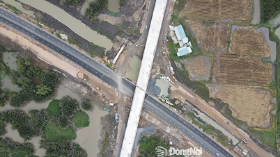
![[Photo] Binh Trieu 1 Bridge has been completed, raised by 1.1m, and will open to traffic at the end of November.](https://vphoto.vietnam.vn/thumb/1200x675/vietnam/resource/IMAGE/2025/10/2/a6549e2a3b5848a1ba76a1ded6141fae)


Comment (0)