
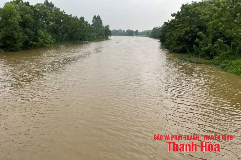
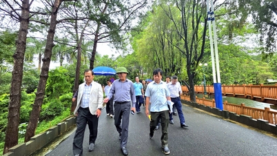
Illustration photo.
According to the bulletin, the flood level on Yen River at Chuoi hydrological station has peaked and is slowly decreasing; the flood peak level at 5am on August 31 is 2.26m, above BĐ1: 0.26m. The water level on Yen River at Chuoi hydrological station is 2.24m, above BĐ1: 0.24m.
Flood water level on Cau Chay River at Xuan Vinh hydrological station changes slowly with a downward trend; water level at 7:00 a.m. on August 31 was 8.97 m, 0.03 m below BĐ2.
Warning: In the next 24 hours, flood water levels on the above rivers will continue to decrease. On Cau Chay River at Xuan Vinh hydrological station, it is above level 1; on Yen River at Chuoi hydrological station, it is below level 1.
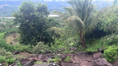
High risk of flooding in low-lying areas along Yen River, especially in the communes of Tho Lap, Xuan Tin, Xuan Lap, Thieu Hoa, Thieu Tien, Thieu Quang, Yen Dinh, Yen Phu, Yen Ninh, Dinh Hoa.
, Linh Son, Dong Luong, Van Phu, Giao An, Ba Thuoc, Dien Lu, Thiet Ong, Pu Luong, Co Lung, Van Nho, Quy Luong, Dien Quang, Bat Mot, Yen Nhan, Luong Son, Van Xuan, Thuong Xuan, Luan Thanh, Tan Thanh, Thang Loc, Xuan Chinh, Ngoc Lac, Thach Lap, Ngoc Lien, Nguyet An, Minh Son, Kien Tho.
Flood disaster risk warning level: Level 1.
NM
Source: https://baothanhhoa.vn/canh-bao-nguy-co-ngap-lut-tai-cac-khu-vuc-trung-thap-ven-song-yen-260191.htm


![[Photo] Soldiers guard the fire and protect the forest](https://vphoto.vietnam.vn/thumb/1200x675/vietnam/resource/IMAGE/2025/9/27/7cab6a2afcf543558a98f4d87e9aaf95)


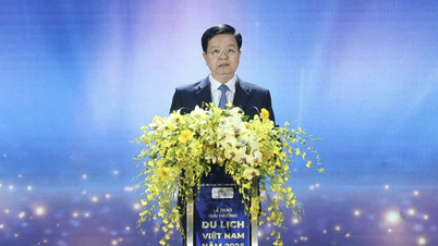
![[Photo] Prime Minister Pham Minh Chinh attends the 1st Hai Phong City Party Congress](https://vphoto.vietnam.vn/thumb/1200x675/vietnam/resource/IMAGE/2025/9/27/676f179ddf8c4b4c84b4cfc8f28a9550)


Comment (0)