
 |
- North direction: connecting to the Ha Giang rocky plateau, bringing highland specialties such as Shan Tuyet tea, medicinal herbs, and native livestock to the midlands.
- South direction: along Gam river, Lo river, carrying goods and tourists to central cities, and further to the plains and seaports.
- East: West direction : open inter-district and inter-regional connecting routes, creating a multi-value tourism, forestry and agricultural belt.
1. Natural space
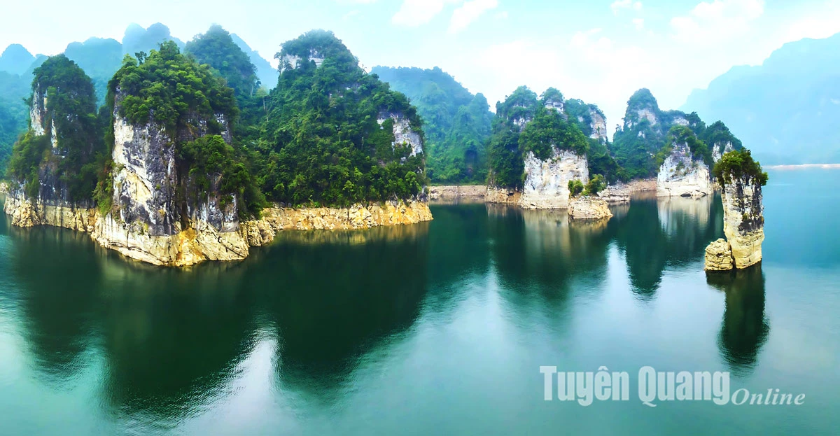
Na Hang - Lam Binh converges three important ecological factors:
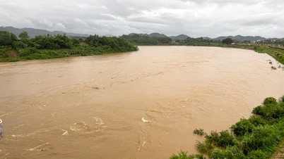
- Large hydroelectric lake, regulating water resources for the entire Gam and Lo river basins.
- Limestone mountains and primeval forests - green lungs, preserving biodiversity.
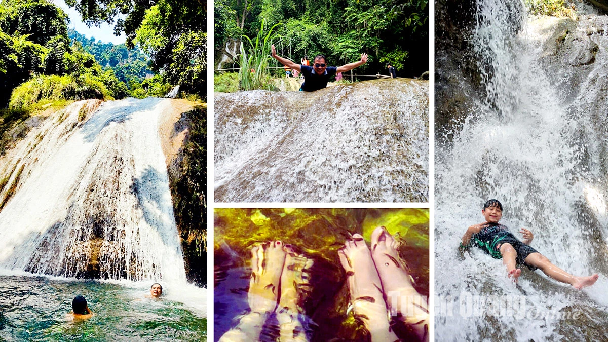
- The system of rivers, streams and waterfalls is both a source of water and a tourist landscape.
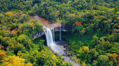
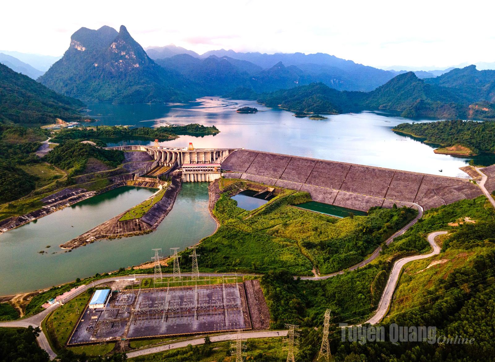 |
| Tuyen Quang Hydroelectric Lake is a favorite destination for tourists. |
2. Agricultural and forestry space
- This is a transit point for raw materials: wood, bamboo, medicinal herbs, and highland agricultural products.
- Can develop ecological agriculture, grow medicinal herbs under forest canopy, associated with processing and regional branding.
- Is a reserve of seeds and water sources serving agriculture in the midlands and deltas.
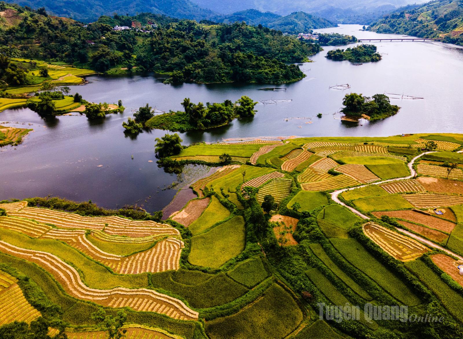 |
| Na Puc field, Da Vi commune (Na Hang), a destination not to be missed by photographers and tourists. |
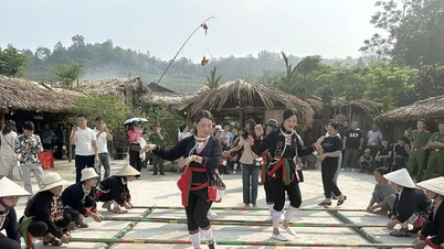
3. Tourism and cultural space
- Na Hang - Lam Binh Lake eco-tourism is conveniently connected to Dong Van stone plateau and Tuyen Quang valley.
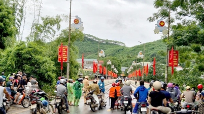
- It is a place where Tay, Dao, Pa Then cultures converge... with Long Tong festival, fire dancing, Then singing, Pao Dung singing.
- Can become the community tourism center of the province, with a network of homestays, cultural - agricultural - culinary experiences.
 |
4. Central location in provincial space
From Na Hang - Lam Binh, we can imagine a "backbone":
- The northern end connects Ha Giang (providing mountain products, a source of tourists seeking experiences).
- The southern end connects Tuyen Quang city and trade gateways nationwide.
- The two flanks connect key forestry and agricultural regions, ensuring the flow of goods - services - culture is not interrupted.
 |
| Pac Ta Mountain - symbol of Na Hang district. |
Le Minh Hoan
Source: https://baotuyenquang.com.vn/van-hoa/du-lich/202508/khong-gian-ket-noi-truc-na-hang-lam-binh-trai-tim-cua-tuyen-quang-moi-032585a/

![[Photo] Solemn opening of the 12th Military Party Congress for the 2025-2030 term](https://vphoto.vietnam.vn/thumb/1200x675/vietnam/resource/IMAGE/2025/9/30/2cd383b3130d41a1a4b5ace0d5eb989d)
![[Photo] General Secretary To Lam receives US Ambassador to Vietnam Marc Knapper](https://vphoto.vietnam.vn/thumb/1200x675/vietnam/resource/IMAGE/2025/9/29/c8fd0761aa184da7814aee57d87c49b3)
![[Photo] General Secretary To Lam, Secretary of the Central Military Commission attends the 12th Party Congress of the Army](https://vphoto.vietnam.vn/thumb/1200x675/vietnam/resource/IMAGE/2025/9/30/9b63aaa37ddb472ead84e3870a8ae825)
![[Photo] The 1st Congress of Phu Tho Provincial Party Committee, term 2025-2030](https://vphoto.vietnam.vn/thumb/1200x675/vietnam/resource/IMAGE/2025/9/30/1507da06216649bba8a1ce6251816820)


![[Photo] General Secretary To Lam attends the ceremony to celebrate the 80th anniversary of the post and telecommunications sector and the 66th anniversary of the science and technology sector.](https://vphoto.vietnam.vn/thumb/1200x675/vietnam/resource/IMAGE/2025/9/29/8e86b39b8fe44121a2b14a031f4cef46)


Comment (0)