
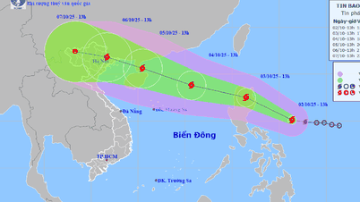
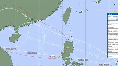
According to the National Center for Hydro-Meteorological Forecasting, currently (September 30) there is a low pressure trough with an axis at about 19-22 degrees North latitude connecting with storm Krathon at 7:00 am, located at about 20.2 degrees North latitude, 122.1 degrees East longitude.
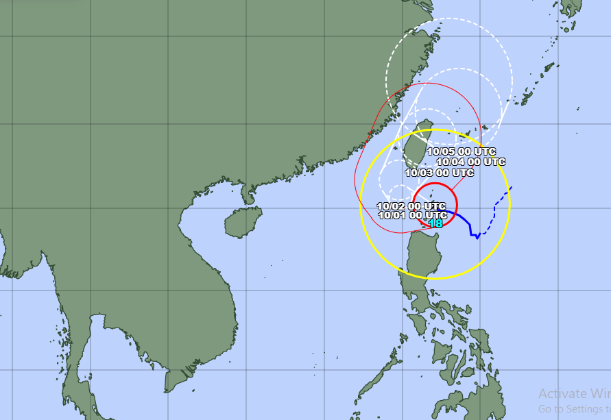
Forecast for the next 24 hours: Storm Krathon moves slowly in a West-Northwest direction towards the South of Taiwan (China).
During the day and night of September 30, the eastern sea area of the North East Sea (from longitude 116-120 degrees East) will have winds gradually increasing to level 6-7, gusting to level 9; in the east of longitude 118.5 in the evening and at night, there will be strong winds of level 8-10, near the center of storm Krathon, strong winds of level 12-14, gusting to level 17. The sea will be rough, with waves 4-6m high.
In addition, on the day and night of September 30, there will be showers and strong thunderstorms in the eastern sea of the North East Sea. There is a possibility of tornadoes during thunderstorms.
The meteorological agency warns: During the day and night of October 1, the East of the North East Sea (from longitude 116-120 degrees East) will have strong winds of level 6-7, gusting to level 9; especially in the East of longitude 118.5, there will be strong winds of level 8-10, near the center of storm Krathon, strong winds of level 12-14, gusting to level 17. The sea will be rough. Waves will be 4-6m high.
From noon on October 1, in the Gulf of Tonkin, the Northeast wind will gradually increase to level 6, gusting to level 7-8; rough seas. Waves will be 1.5-2.5m high.
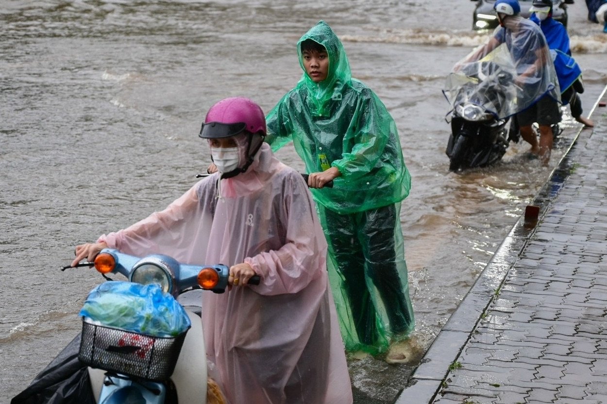
All vessels operating in the above areas are at high risk of being affected by cyclones, strong winds and large waves.
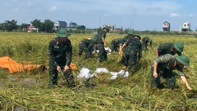
To proactively respond to bad weather at sea, the Ministry of Agriculture and Rural Development has just requested coastal provinces and cities from Quang Ninh to Binh Dinh to closely monitor warning bulletins and forecasts of strong winds, big waves and thunderstorms at sea.
Notify captains and owners of vehicles and vessels operating at sea to proactively avoid entering the above-mentioned dangerous areas and have appropriate production plans to ensure safety of people and property.
Maintain communication to promptly handle possible bad situations.
Prepare forces and means to deploy rescue work when there is a situation.
![[Photo] Binh Trieu 1 Bridge has been completed, raised by 1.1m, and will open to traffic at the end of November.](https://vphoto.vietnam.vn/thumb/1200x675/vietnam/resource/IMAGE/2025/10/2/a6549e2a3b5848a1ba76a1ded6141fae)


Comment (0)