
On September 29, the People's Committee of Ho Chi Minh City issued Report No. 127/BC-UBND on the proposal to adjust and supplement land use needs until 2030, with a vision to 2050, to the Ministry of Agriculture and Environment .
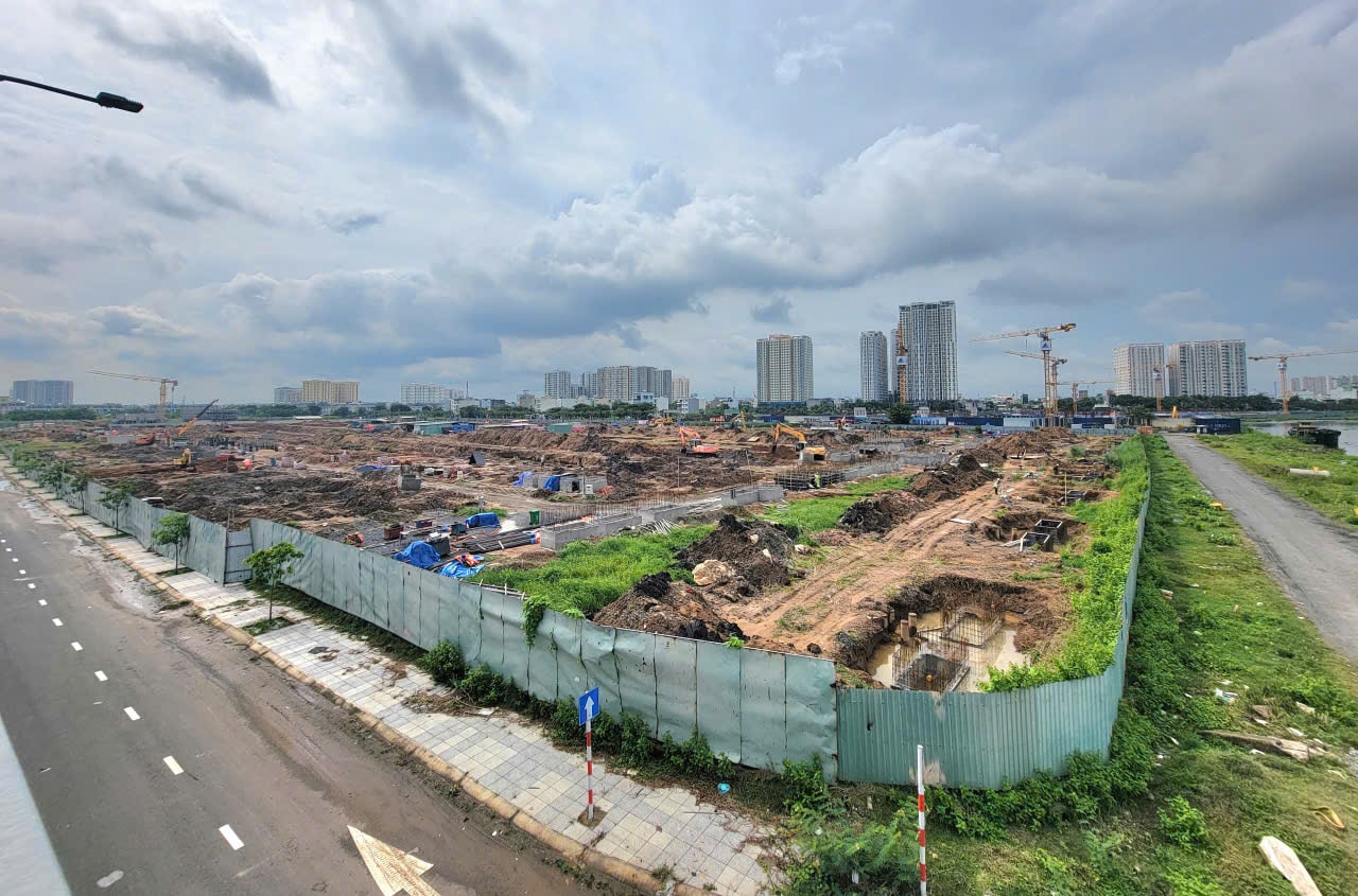
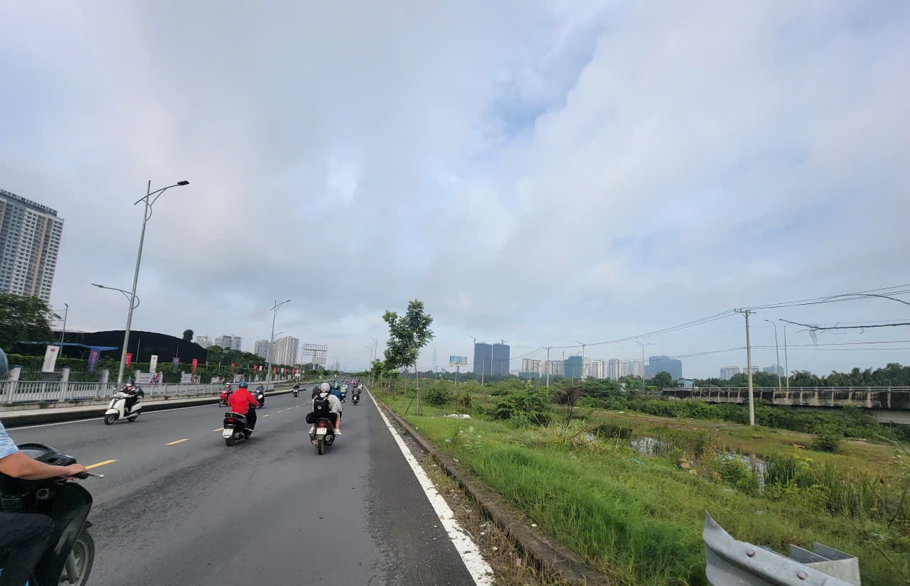
According to the report, it is expected that in the period of 2026 - 2030, Ho Chi Minh City will deploy many key infrastructure projects, large urban areas using a lot of land area. Such as the group of regional traffic infrastructure including: Expressway system: Ho Chi Minh City - Moc Bai, Ben Luc - Long Thanh, Ho Chi Minh City - Long Thanh - Dau Giay, Ho Chi Minh City - Thu Dau Mot - Chon Thanh, Bien Hoa - Vung Tau. Ring Road 2, Ring Road 3, Ring Road 4.
Urban railway and national railway: metro lines 2, 4, 5, North-South high-speed railway (Thu Thiem station and Long Truong depot)...
Maritime and aviation infrastructure: Can Gio international seaport; Long Thanh international airport; upgrading and expanding the capacity of Hiep Phuoc port cluster and Cai Mep – Thi Vai port.
Key urban infrastructure and industrial zones (IPs) include: Eastern creative urban area, Can Gio coastal urban area, satellite urban areas (Cu Chi, Hoc Mon, Ben Cat - Binh Duong ). Industrial - high-tech zones: Expansion of the city's High-tech Zone, Pham Van Hai I + II Industrial Park, VSIP 4.0 Industrial Park, industrial complex - seaport in Ba Ria - Vung Tau.
In addition, many projects on energy infrastructure and climate change response, social infrastructure - health - education are also being implemented.
From there, Ho Chi Minh City proposed the Ministry of Agriculture and Environment to supplement the city's land use planning targets. Specifically: Agricultural land group : 337,005 hectares, a decrease of 69,055 hectares compared to the allocated target and a decrease of 46,675 hectares compared to the proposed target. In which: Rice land: 5,200 hectares, a decrease of 9,833 hectares compared to the allocated target and a decrease of 7,515 hectares compared to the proposed target (in which land specialized in rice cultivation is 3,500 hectares, a decrease of 9,001 hectares compared to the allocated target and a decrease of 7,500 hectares compared to the proposed target).
Special-use forest land: 16,524ha, a decrease of 652ha compared to the allocated target and a decrease of 248ha compared to the proposed target.
Protective forest land: 44,787ha, a decrease of 3,026ha compared to the allocated target and a decrease of 1,138ha compared to the proposed target.
Production forest land: 10,292 hectares, a decrease of 770 hectares compared to the allocated target and a decrease of 715 hectares compared to the proposed target.
Non-agricultural land group : 343,106ha, an increase of 7,640ha compared to the allocated target and an increase of 42,675ha compared to the proposed target. Of which: Residential land: 102,500ha, an increase of 28,672ha compared to the proposed target.
Defense land: 13,773 hectares, down 807 hectares compared to the allocated target.
Security land: 3,789 hectares, an increase of 443 hectares compared to the allocated target.
Land for sports facilities: 3,450 hectares, an increase of 820 hectares compared to the allocated target and an increase of 443 hectares compared to the proposed target.
Industrial park land: 45,300 hectares, an increase of 13,637 hectares compared to the allocated target and an increase of 2,279 hectares compared to the proposed target.
Traffic land: 61,400 hectares, an increase of 17,355 hectares compared to the allocated target and an increase of 11,739 hectares compared to the proposed target.
Unused land group : 683ha, maintaining the proposed target.
Source: https://daibieunhandan.vn/tp-ho-chi-minh-de-xuat-dieu-chinh-tang-dien-tich-dat-o-10388513.html

![[Photo] Students of Binh Minh Primary School enjoy the full moon festival, receiving the joys of childhood](https://vphoto.vietnam.vn/thumb/1200x675/vietnam/resource/IMAGE/2025/10/3/8cf8abef22fe4471be400a818912cb85)


![[Photo] Prime Minister Pham Minh Chinh chairs meeting to deploy overcoming consequences of storm No. 10](https://vphoto.vietnam.vn/thumb/1200x675/vietnam/resource/IMAGE/2025/10/3/544f420dcc844463898fcbef46247d16)


![[Photo] Binh Trieu 1 Bridge has been completed, raised by 1.1m, and will open to traffic at the end of November.](https://vphoto.vietnam.vn/thumb/402x226/vietnam/resource/IMAGE/2025/10/2/a6549e2a3b5848a1ba76a1ded6141fae)


Comment (0)