
At 4am this morning (September 8), the storm center was in the northwest sea of the North East Sea with the strongest wind near the storm center at level 10-11 (89-117km/h), gusting to level 13. Thus, in just over a day, the storm has increased by nearly 3 levels.
It is forecasted that today, the storm will continue to move very fast, 20-25km per hour, and will make landfall in Guangdong province (China) this morning. By 4:00 p.m. this afternoon, the storm center will be deep inland in Guangdong province with a level 8 intensity, gusting to level 10.
Tonight, the storm will change direction to the west-northwest, continue to move very fast, about 20-25km/h and gradually weaken into a tropical depression, then a low pressure area. At 4am on September 9, the center of the low pressure area was over the mainland of Guangxi province (China) with an intensity of less than level 6.
.")
Storm No. 7 moves very fast, making landfall this morning (September 8).
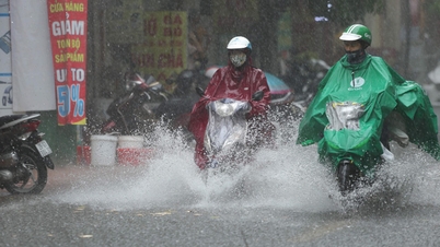
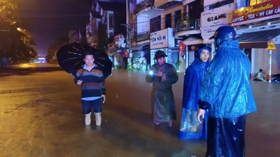
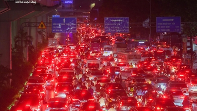
According to the National Center for Hydro-Meteorological Forecasting, although the storm will not make landfall in Vietnam, areas on the far edge of the storm's circulation such as the Gulf of Tonkin and the eastern coastal areas of the North may still experience thunderstorms, tornadoes and strong gusts of wind from today.
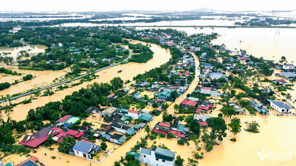
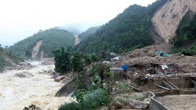
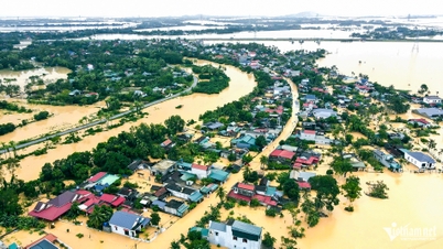
In addition, from tomorrow until the night of September 10, the remnants of the storm will cause heavy rain in the midland and mountainous areas of the North with rainfall from 70-150mm, in some places over 300mm.
The Northern Delta region also has scattered thunderstorms during this time. The Thanh Hoa to Ha Tinh region from the evening of September 9 to September 10 will also have scattered thunderstorms, with some areas having heavy to very heavy rain.
At sea, the northwest sea area of the North East Sea has strong winds of level 7-8, near the storm center strong winds of level 9-11, gusts of level 13, waves 4-6m high, rough seas. Ships operating in the above-mentioned dangerous areas are likely to be affected by storms, whirlwinds, strong winds and big waves.
The East Sea is experiencing a stormy year, with many storms/tropical depressions forming right in the East Sea with rapid and unpredictable developments.
It is forecasted that from now until the end of 2025, there may be 5-7 storms or tropical depressions in the East Sea, about half of which (3-4 storms) are likely to impact Vietnam's mainland. This year's cold air is expected to arrive early, combined with many storms that could cause a complicated flood season in the Central region.
According to tienphong.vn
Source: https://baotuyenquang.com.vn/xa-hoi/202509/bao-so-7-do-bo-trung-quoc-hom-nay-hai-tac-dong-den-viet-nam-2ba0c56/
![[Photo] Panorama of the cable-stayed bridge, the final bottleneck of the Ben Luc-Long Thanh expressway](https://vphoto.vietnam.vn/thumb/1200x675/vietnam/resource/IMAGE/2025/9/30/391fdf21025541d6b2f092e49a17243f)
![[Photo] President Luong Cuong receives President of the Cuban National Assembly Esteban Lazo Hernandez](https://vphoto.vietnam.vn/thumb/1200x675/vietnam/resource/IMAGE/2025/9/30/4d38932911c24f6ea1936252bd5427fa)


![[Photo] The 1st Congress of Phu Tho Provincial Party Committee, term 2025-2030](https://vphoto.vietnam.vn/thumb/1200x675/vietnam/resource/IMAGE/2025/9/30/1507da06216649bba8a1ce6251816820)


![[Photo] Solemn opening of the 12th Military Party Congress for the 2025-2030 term](https://vphoto.vietnam.vn/thumb/1200x675/vietnam/resource/IMAGE/2025/9/30/2cd383b3130d41a1a4b5ace0d5eb989d)


Comment (0)