

According to the Provincial Steering Committee for Disaster Prevention and Control, as of 6:00 a.m. the same day, there were 141 fishing boats of Gia Lai fishermen operating in the area identified as dangerous in the next 24 hours (from 11.5 to 18.5 degrees North latitude; East of 108 degrees East longitude). Of these, the most were fishing boats of fishermen from Hoai Nhon Dong ward (42 boats) and Hoai Nhon Bac ward (40 boats).
The Provincial Steering Committee for Disaster Prevention and Search and Rescue requested the Provincial Military Command and People's Committees of coastal localities to urgently call on and guide fishermen and their families to grasp information, proactively steer boats out of dangerous areas, and find safe anchorages.
In a quick exchange with SGGP Newspaper reporters the same morning (September 27), Mr. Nguyen Van Hiep, Chairman of Hoai Nhon Dong Ward People's Committee, said that the locality is coordinating with the seaport border guards to contact ship owners through all information channels, requesting them to urgently leave the area directly affected by the storm.
")
According to the National Center for Hydro-Meteorological Forecasting, at 9:00 a.m. on September 27, the center of storm Bualoi was at about 14.4 degrees North latitude - 115.1 degrees East longitude, about 400km East Southeast of Hoang Sa special zone. The strongest wind near the center of the storm was level 11-12, gusting to level 15; the storm continued to move in a West-Northwest direction at a speed of about 35km/hour.
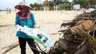
On the same day, the South Central provinces began to experience widespread rain lasting for many hours. Authorities warned of the risk of tornadoes, lightning, hail and strong gusts of wind in some localities.
Source: https://www.sggp.org.vn/bao-bualoi-tien-sat-hoang-sa-141-tau-ca-gia-lai-trong-vung-nguy-hiem-post814992.html
![[Photo] Binh Trieu 1 Bridge has been completed, raised by 1.1m, and will open to traffic at the end of November.](https://vphoto.vietnam.vn/thumb/1200x675/vietnam/resource/IMAGE/2025/10/2/a6549e2a3b5848a1ba76a1ded6141fae)


Comment (0)