
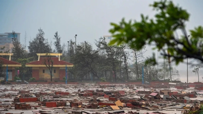
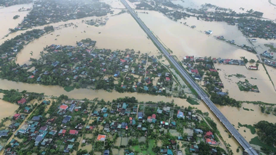
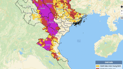
Earlier, on the afternoon of September 23, the National Center for Hydro-Meteorological Forecasting informed that a tropical depression had just appeared in the eastern part of the Philippines. It is forecasted that on September 24, it will likely strengthen into a storm.
Associate Professor, PhD, Director of the National Center for Hydro-Meteorological Forecasting Mai Van Khiem said that forecasts on the development of storm No. 10 are still very scattered. Forecasts from Europe and Japan predict that storm No. 10 will move north, towards the North or the South of China; however, forecasts from the US predict that the storm will move into the Central region (focusing on the provinces from Ha Tinh to Quang Ngai).
According to the assessment of the Vietnam Hydrometeorological Agency: The possibility of the storm moving into the Central region is the scenario with the highest probability because at this stage, according to the climate law, the storm will move into the Central region, but the possibility of strengthening to the level of a super typhoon or a strong storm above level 13 is not high. The Hydrometeorological Agency is continuing to monitor and around September 25 will issue a storm warning near the East Sea.
Source: https://baotintuc.vn/xa-hoi/khoang-dem-269-bao-bualoi-vao-bien-dong-va-tro-thanh-bao-so-10-trong-nam-2025-20250924140314455.htm
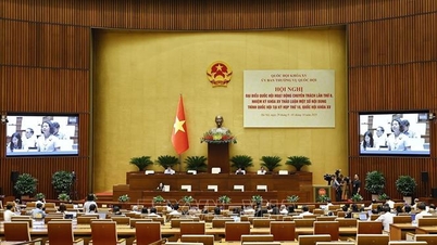
![[Photo] Solemn opening of the 12th Military Party Congress for the 2025-2030 term](https://vphoto.vietnam.vn/thumb/1200x675/vietnam/resource/IMAGE/2025/9/30/2cd383b3130d41a1a4b5ace0d5eb989d)

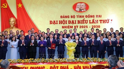
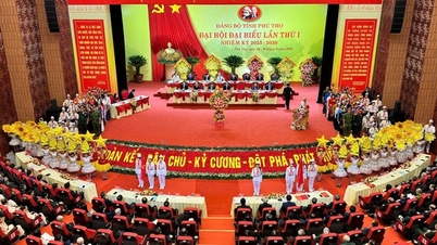
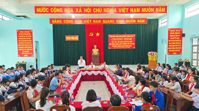
![[Photo] The 1st Congress of Phu Tho Provincial Party Committee, term 2025-2030](https://vphoto.vietnam.vn/thumb/1200x675/vietnam/resource/IMAGE/2025/9/30/1507da06216649bba8a1ce6251816820)
![[Photo] General Secretary To Lam, Secretary of the Central Military Commission attends the 12th Party Congress of the Army](https://vphoto.vietnam.vn/thumb/1200x675/vietnam/resource/IMAGE/2025/9/30/9b63aaa37ddb472ead84e3870a8ae825)
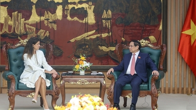
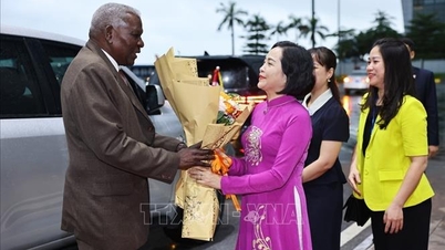
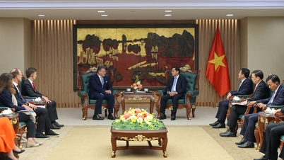
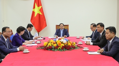
![[Photo] General Secretary To Lam receives US Ambassador to Vietnam Marc Knapper](https://vphoto.vietnam.vn/thumb/1200x675/vietnam/resource/IMAGE/2025/9/29/c8fd0761aa184da7814aee57d87c49b3)


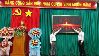
![[Photo] General Secretary To Lam attends the ceremony to celebrate the 80th anniversary of the post and telecommunications sector and the 66th anniversary of the science and technology sector.](https://vphoto.vietnam.vn/thumb/1200x675/vietnam/resource/IMAGE/2025/9/29/8e86b39b8fe44121a2b14a031f4cef46)


Comment (0)