
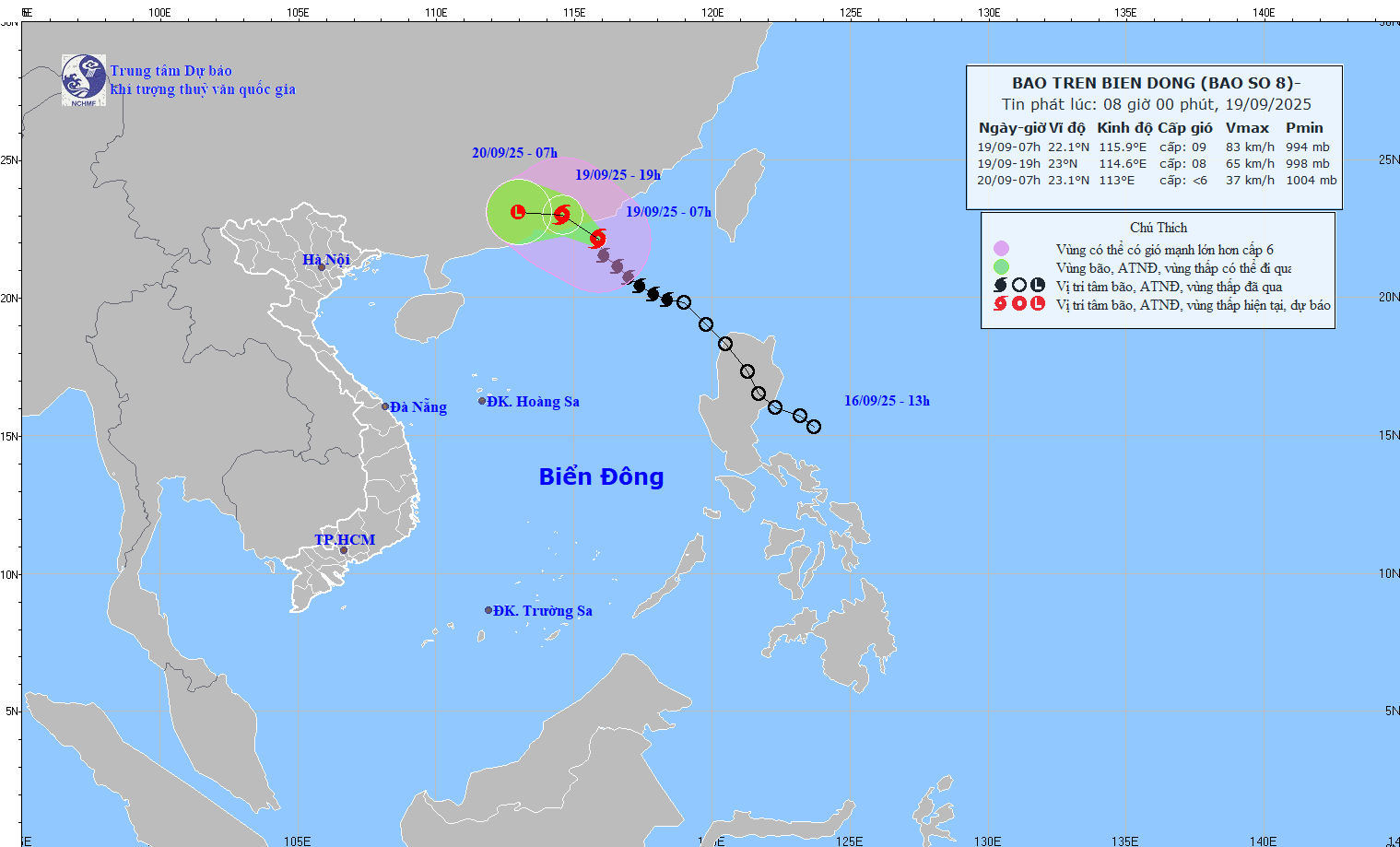
According to the National Center for Hydro-Meteorological Forecasting, at 7:00 a.m. on September 19, the center of the storm was located at about 22.1 degrees North latitude; 115.9 degrees East longitude, in the northern sea area of the North East Sea, about 200 km East Southeast of Hong Kong (China). The strongest wind near the center of the storm was level 9 (75 - 88 km/h), gusting to level 11. Moving northwest at a speed of 15 km/h.
Forecast, by 7:00 p.m. on September 19, the storm will move northwest, at a speed of about 15km/h, the storm will be located at 23.0N-114.6E; on the mainland south of Guangdong province, the storm intensity will be level 8, gust level 10, the dangerous area is north of latitude 20.50N; longitude 113.0 - 118.00E, natural disaster risk level 3, the affected area is the sea north of the North East Sea.
At 7:00 a.m. on September 20, the storm moved westward at a speed of 10-15 km/h, moving deep into the mainland, gradually weakening into a tropical depression, then a low pressure area, the storm's location at 23.1N - 113.0E; on the mainland south of Guangdong province, the storm's intensity was below level 6.
Due to the influence of the storm, the northern sea area of the North East Sea has strong winds of level 6 - 7, gusts of level 9; the area near the storm's center has strong winds of level 8 - 9, gusts of level 11, waves 3 - 5m high. The sea is very rough.
Vessels operating in the above mentioned dangerous areas are susceptible to the impact of storms, whirlwinds, strong winds and large waves.
Mr. Nguyen Van Huong, Head of Weather Forecast Department, National Center for Hydro-Meteorological Forecasting, said that in addition to the current storm, there is a tropical depression in the Northwest Pacific region that is likely to strengthen into a storm during the day and night of September 18.
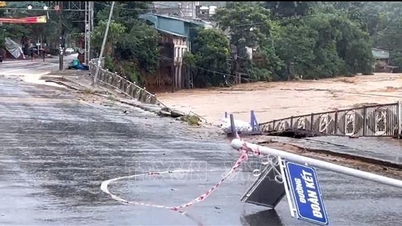
Then around September 22, the storm is likely to move into the East Sea and directly affect the mainland of Vietnam from September 24 to 26. This is a strong storm, capable of causing strong winds and heavy rain in the Northern region and the Central provinces from Thanh Hoa to Hue.
It is forecasted that from now until the end of 2025, there will be about 5-7 storms and depressions active in the East Sea, of which about 2-4 storms and tropical depressions are likely to directly affect mainland Vietnam.
Source: https://baotintuc.vn/xa-hoi/bao-so-8-do-bo-trung-quoc-bien-dong-tiep-tuc-co-con-bao-so-9-20250919090116392.htm
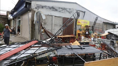
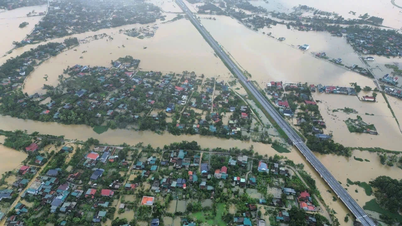
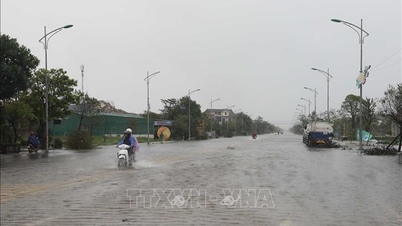
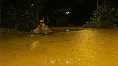
![[Photo] Many streets in Hanoi were flooded due to the effects of storm Bualoi](https://vphoto.vietnam.vn/thumb/1200x675/vietnam/resource/IMAGE/2025/9/29/18b658aa0fa2495c927ade4bbe0096df)
![[Photo] General Secretary To Lam attends the ceremony to celebrate the 80th anniversary of the post and telecommunications sector and the 66th anniversary of the science and technology sector.](https://vphoto.vietnam.vn/thumb/1200x675/vietnam/resource/IMAGE/2025/9/29/8e86b39b8fe44121a2b14a031f4cef46)
![[Photo] General Secretary To Lam receives US Ambassador to Vietnam Marc Knapper](https://vphoto.vietnam.vn/thumb/1200x675/vietnam/resource/IMAGE/2025/9/29/c8fd0761aa184da7814aee57d87c49b3)

![[Photo] National Assembly Chairman Tran Thanh Man chairs the 8th Conference of full-time National Assembly deputies](https://vphoto.vietnam.vn/thumb/1200x675/vietnam/resource/IMAGE/2025/9/29/2c21459bc38d44ffaacd679ab9a0477c)


Comment (0)