
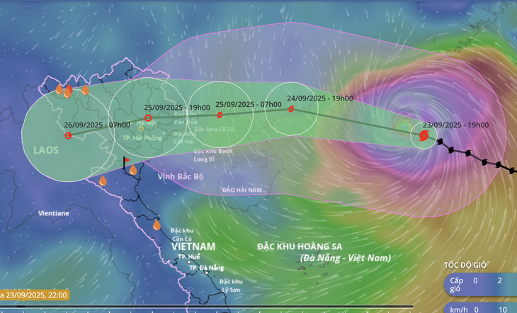
Forecast of location and direction of storm Ragasa - Photo: NCHMF
On September 23, Prime Minister Pham Minh Chinh signed and issued a dispatch to ministries, departments, branches and provinces from Ha Tinh to the North to focus on implementing response work to storm Ragasa.
Storm No. 10 may appear after Storm Ragasa makes landfall
According to the National Center for Hydro-Meteorological Forecasting at 10:00 p.m. on September 23, the center of storm Ragasa was about 550km east of Leizhou Peninsula (China).
The strongest wind near the storm center is level 15-16 (167-201km/h), gusting over level 17.
The storm is forecast to continue to maintain super typhoon intensity (level 15-16), gusting above level 17 until the morning of September 24, before gradually weakening.
Early morning of September 25, the storm will move into the Gulf of Tonkin. The storm intensity in the Gulf of Tonkin will remain at level 11-12, gusting to level 14-15.
On September 25, the storm made landfall directly in the Northern region with strong winds of level 10-11, gusting to level 12-13 along the coast, and level 8-9, gusting to level 10-11 on land.
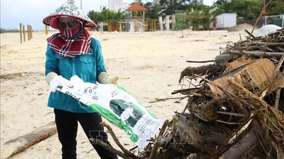
"Storm Ragasa is very strong at sea, with a very wide range of strong winds and waves over 10m high, making it especially dangerous for ships operating in the northern East Sea.
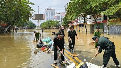
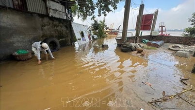
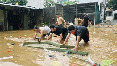
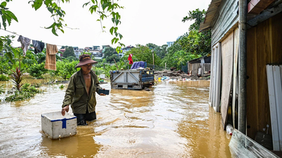
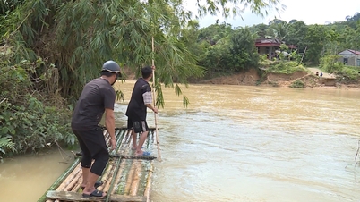
The storm may cause heavy rain in the Northern provinces and Thanh Hoa and Nghe An with rainfall of about 150-250 mm, locally over 400 mm, risk of flash floods, landslides, affecting the safety of dams, flooding in urban areas and low-lying areas.
Right after storm Ragasa, there is a risk that storm No. 10 will continue to move into the East Sea, potentially directly impacting our country's sea and land, affecting production activities at sea," the dispatch stated.
Weather forecast for the night of September 23-24: Affected by storm No. 9, the North and Thanh Hoa to Quang Ngai will have heavy rain
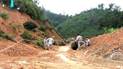
Ready to evacuate people before the storm hits
To proactively respond to storm No. 9, ensure people's lives and reduce property damage to people and the State, the Prime Minister requested the Secretaries and Chairmen of People's Committees of provinces and cities, especially coastal localities from Quang Ninh to Thanh Hoa (where strong winds are forecasted to occur), to focus on leading and directing the implementation of measures to ensure safety for vessels operating at sea, along the coast and activities at sea, on islands, along the coast and inland.
Implement measures to protect houses, warehouses, factories, headquarters of agencies, units, educational and medical facilities, dike systems, dams, infrastructure works, production and business activities, especially agricultural production and aquaculture at sea and along the coast with the motto "green house is better than old field".
At the same time, review plans, be ready to organize evacuation and relocation of residents to ensure safety before the storm makes landfall, and deploy rescue work when bad situations occur,...
The Prime Minister assigned the Minister of Agriculture and Environment to direct forecasting and provide the most complete, timely and accurate information on the developments and impacts of storms.
At the same time, it warned of the worst possible scenario, including the risk of storm No. 10 appearing in the East Sea right after storm Ragasa makes landfall so that authorities and people know and proactively deploy response work.
Source: https://tuoitre.vn/thu-tuong-yeu-cau-canh-bao-kich-ban-xux-nhat-cua-bao-ragasa-va-kha-nang-xuat-hien-bao-so-10-20250923223045049.htm
![[Photo] Binh Trieu 1 Bridge has been completed, raised by 1.1m, and will open to traffic at the end of November.](https://vphoto.vietnam.vn/thumb/1200x675/vietnam/resource/IMAGE/2025/10/2/a6549e2a3b5848a1ba76a1ded6141fae)


Comment (0)