
 |
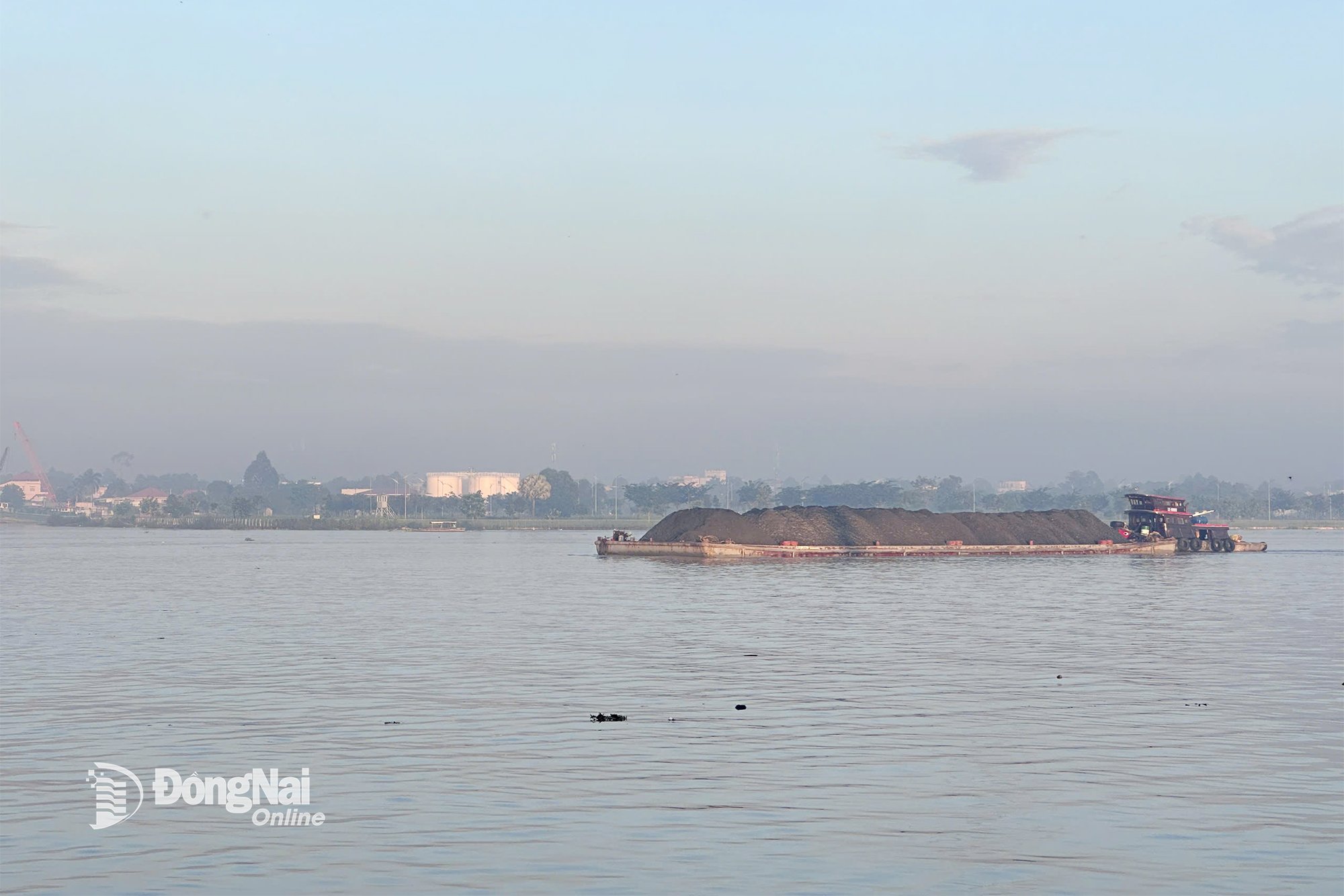
| Dong Nai River. Photo archive |
At Ta Lai station, the water level after reaching 112.52m at 9:00 a.m. on September 3 has slowly decreased, currently near alarm level 2 (112.50m); at 1:00 p.m. on September 3 it was at 112.45m.
Flood warning for areas at risk of flooding: Dong Nai River, from upstream to the communes of Dak Lua, Nam Cat Tien, Ta Lai, Thanh Son, Phu Vinh, Dinh Quan in Dong Nai province.
It is forecasted that in the next 24 hours, the water level at Ta Lai station will change slowly, fluctuating above alarm level 1 (112.00m) to approximately alarm level 2 (112.50m).
Flood warning level on Dong Nai River: Warning level 1.
It is necessary to guard against the possibility of heavy rain combined with floods causing inundation and landslides on river banks, streams, and low-lying areas in the communes of Dak Lua, Nam Cat Tien, Ta Lai, Thanh Son, Phu Vinh, Dinh Quan and neighboring areas.
Kim Lieu
Source: https://baodongnai.com.vn/ban-doc/202509/muc-nuoc-vung-thuong-luu-song-dong-nai-dang-o-muc-cao-c1e0d43/
![[Photo] The 1st Congress of Phu Tho Provincial Party Committee, term 2025-2030](https://vphoto.vietnam.vn/thumb/1200x675/vietnam/resource/IMAGE/2025/9/30/1507da06216649bba8a1ce6251816820)
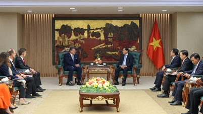
![[Photo] General Secretary To Lam receives US Ambassador to Vietnam Marc Knapper](https://vphoto.vietnam.vn/thumb/1200x675/vietnam/resource/IMAGE/2025/9/29/c8fd0761aa184da7814aee57d87c49b3)


![[Photo] General Secretary To Lam, Secretary of the Central Military Commission attends the 12th Party Congress of the Army](https://vphoto.vietnam.vn/thumb/1200x675/vietnam/resource/IMAGE/2025/9/30/9b63aaa37ddb472ead84e3870a8ae825)
![[Photo] Solemn opening of the 12th Military Party Congress for the 2025-2030 term](https://vphoto.vietnam.vn/thumb/1200x675/vietnam/resource/IMAGE/2025/9/30/2cd383b3130d41a1a4b5ace0d5eb989d)


![[Photo] General Secretary To Lam attends the ceremony to celebrate the 80th anniversary of the post and telecommunications sector and the 66th anniversary of the science and technology sector.](https://vphoto.vietnam.vn/thumb/1200x675/vietnam/resource/IMAGE/2025/9/29/8e86b39b8fe44121a2b14a031f4cef46)


Comment (0)